More Storms for Florida Tuesday
Special Stories
4 Dec 2018 3:03 AM
Active weather will continue to be the weather story in Florida on Tuesday. The intensity and location will be different, but you will still want to keep an eye on how conditions evolve throughout the day if you will be in Central or South Florida. Here is the latest.
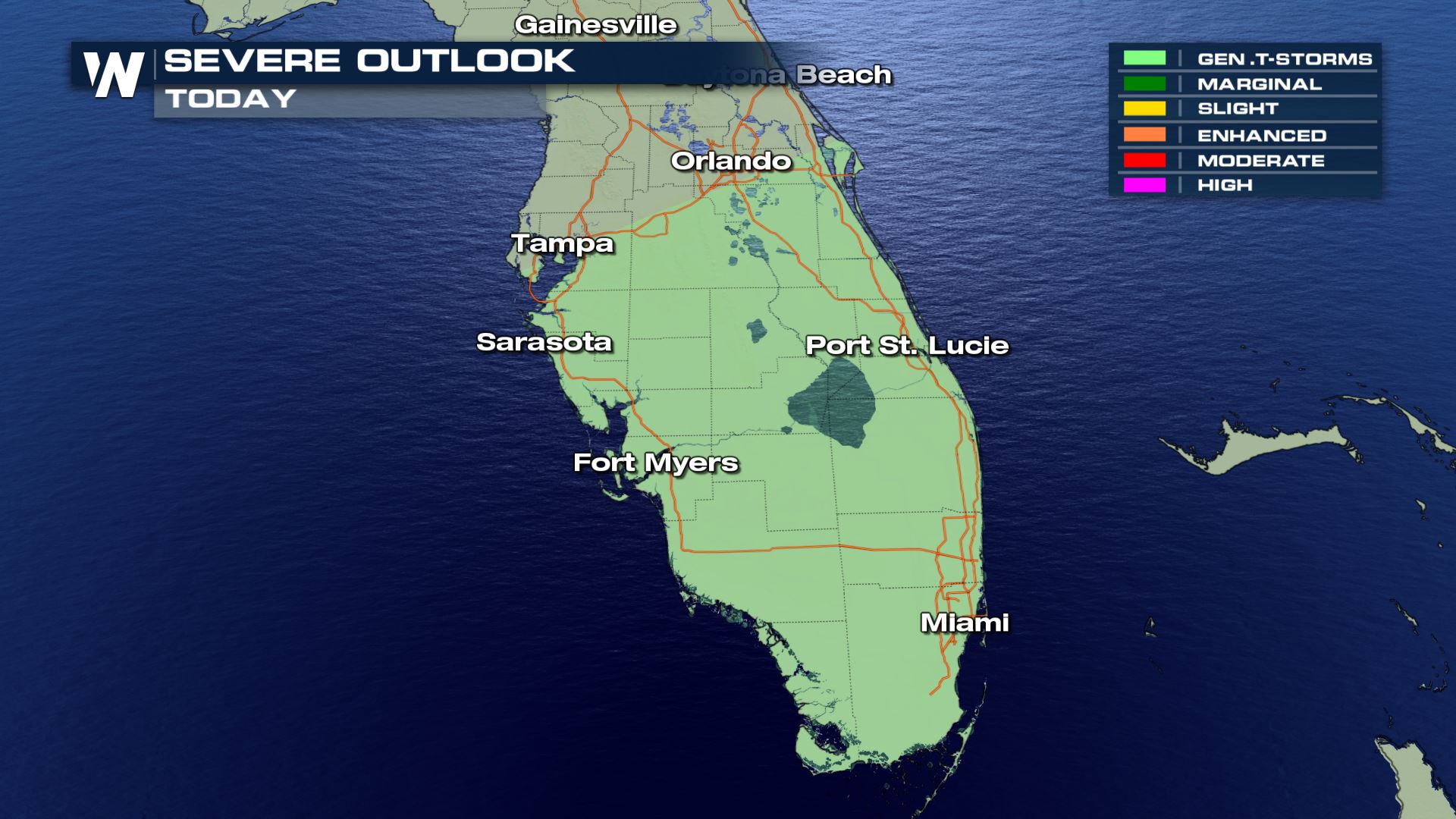 General thunderstorms (Below severe limits) will be moving across areas like Sarasota, Fort Myers and Miami throughout the morning and afternoon. Any storms that develop will likely be below severe weather limits, but that doesn't mean we won't see a strong storm or two.
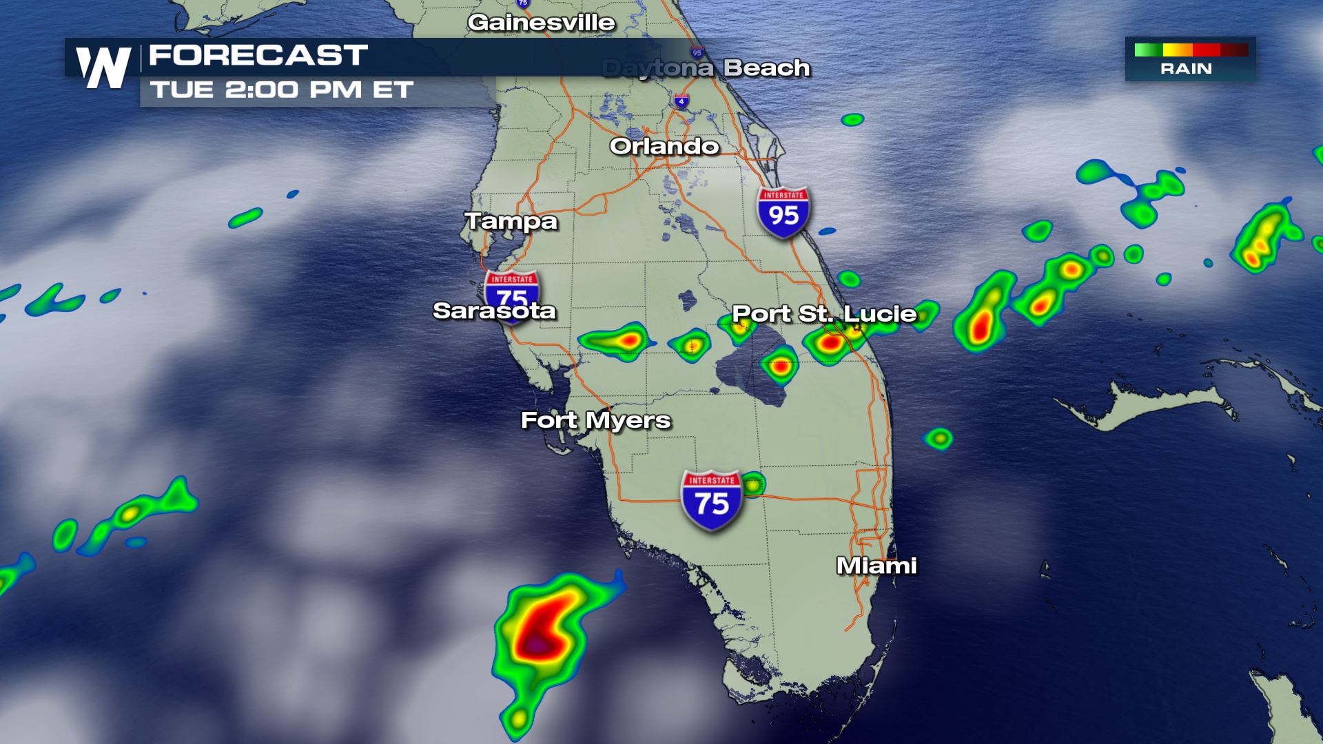
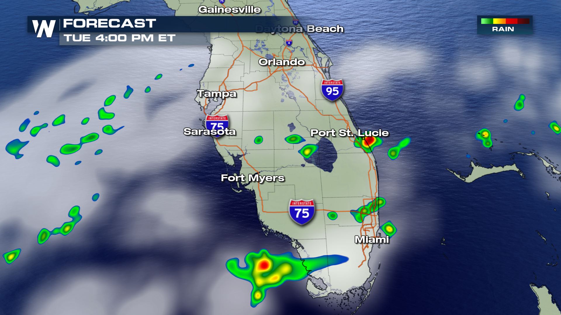
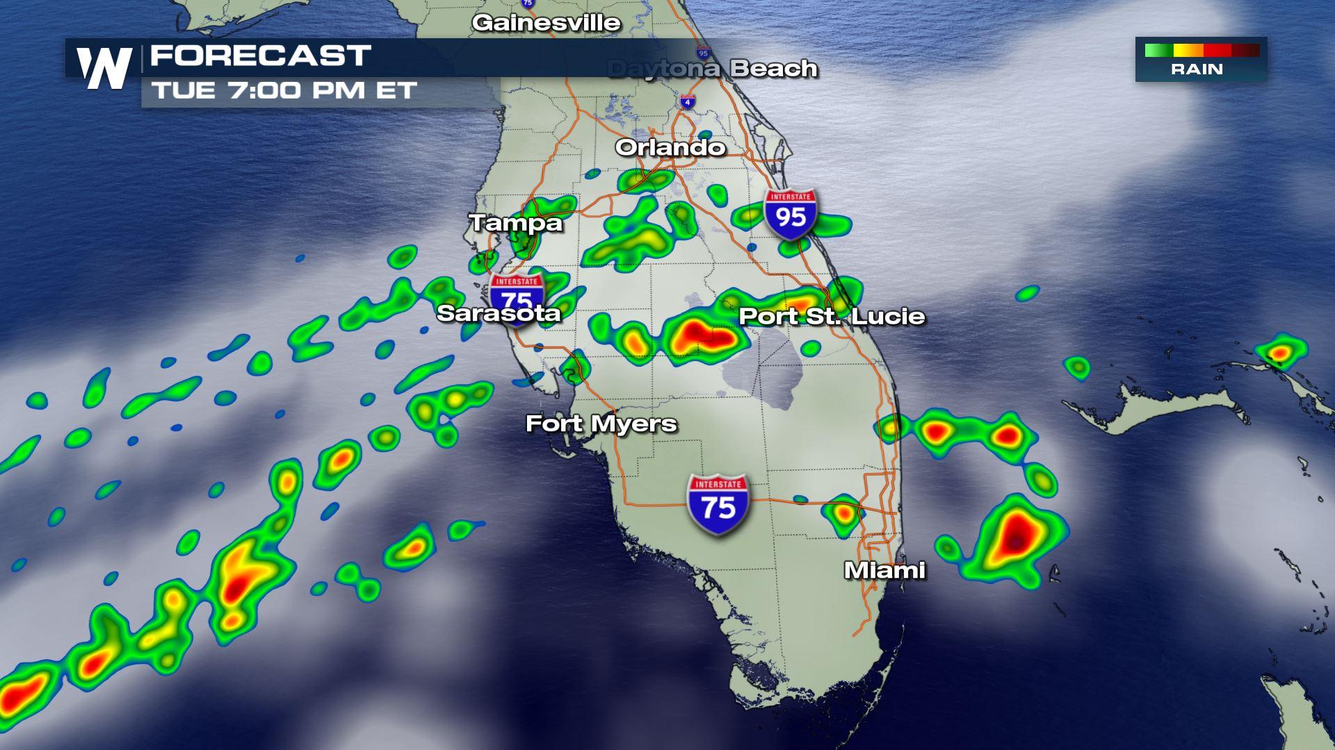
 You can see some strong intensity with high resolution forecast throughout the afternoon and evening. The highest chance for storms will be south of Orlando and could continue through the evening. We will be watching today's storms closely so keep checking back for more updates.
Severe Outlook
General thunderstorms (Below severe limits) will be moving across areas like Sarasota, Fort Myers and Miami throughout the morning and afternoon. Any storms that develop will likely be below severe weather limits, but that doesn't mean we won't see a strong storm or two.
Forecast
You can see some strong intensity with high resolution forecast throughout the afternoon and evening. The highest chance for storms will be south of Orlando and could continue through the evening. We will be watching today's storms closely so keep checking back for more updates.All Weather News
More
Severe Storm Threat Returns to the Midwest
After several tornadoes ripped through the Mi
31 Jul 2026 2:20 AM


After Reaching Category 5, Genevieve Weakens in the Pacific
PacificFausto is now a post-tropical cyclone.
31 Jul 2026 1:30 AM

Flooding Risk Increases as Heavy Rain Targets the Tri-State Area
Tuesday, heavy rainfall moved across the Nort
30 Jul 2026 12:25 AM

Severe Weather: Energy From the Midwest Now in the Southeast
UPPER MIDWEST - Through Monday, dangerous tor
29 Jul 2026 10:30 PM

Southeast Flood Risk Lingers Near Stalled Front
A stalled boundary over the Southeast will ke
25 Jul 2026 10:55 AM