Severe Threat Thursday Along the East Coast
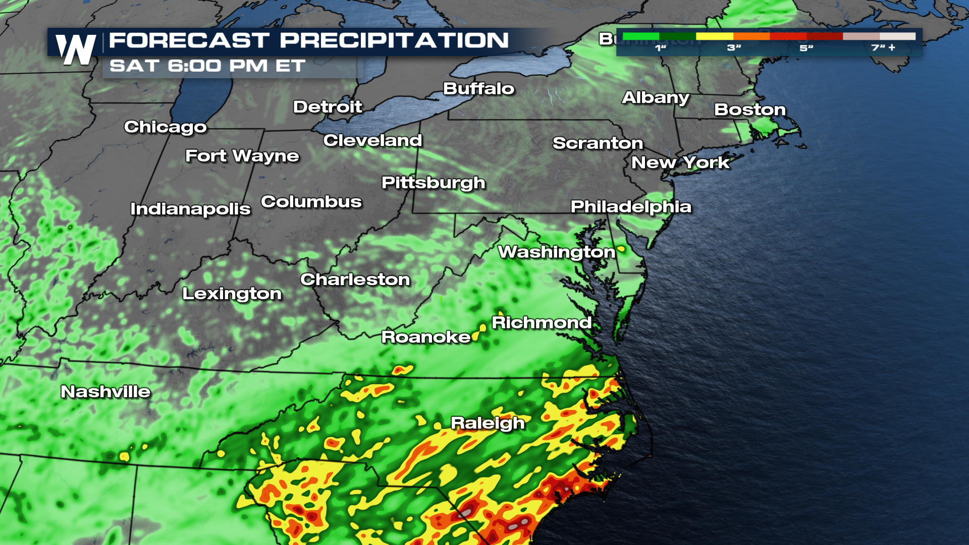
Two surface fronts will influence the rainy forecast for the Northeast from now through Thursday. A developing low near the Atlantic Coast and a low back over the Great Lakes will run into energy and instability to keep conditions soggy and stormy for the Northeast with a damaging wind threat on Thursday for cities like Baltimore, Washington, and Charlottesville.
The more potent severe weather day around the D.C. - NYC corridor is Thursday when storms move through right around commute time. Rainfall totals may reach flash flooding guidance over the next couple of days so excessive rainfall outlooks have been issued across the northeast. Upwards of 4" are possible, and IF that bullseye hits a major city like D.C., Philly, or New York there will be widespread flood issues, especially on Thursday when rainfall looks to be the heaviest.

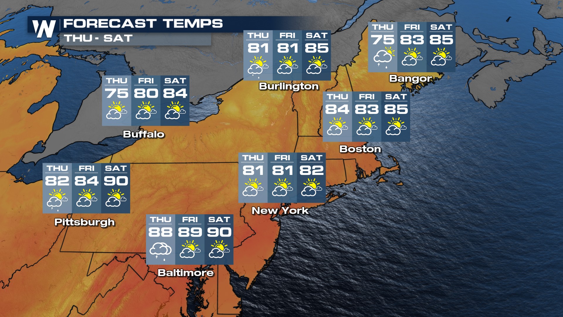
Thankfully with incoming rain chances, temperatures will be at or slightly below seasonable for late July. Don't count on the cooler temperatures for long - highs jump back up in the mid-Atlantic by the weekend.
