New Orleans Tornado Rated High End EF-3
Special Stories
25 Mar 2022 4:00 AM
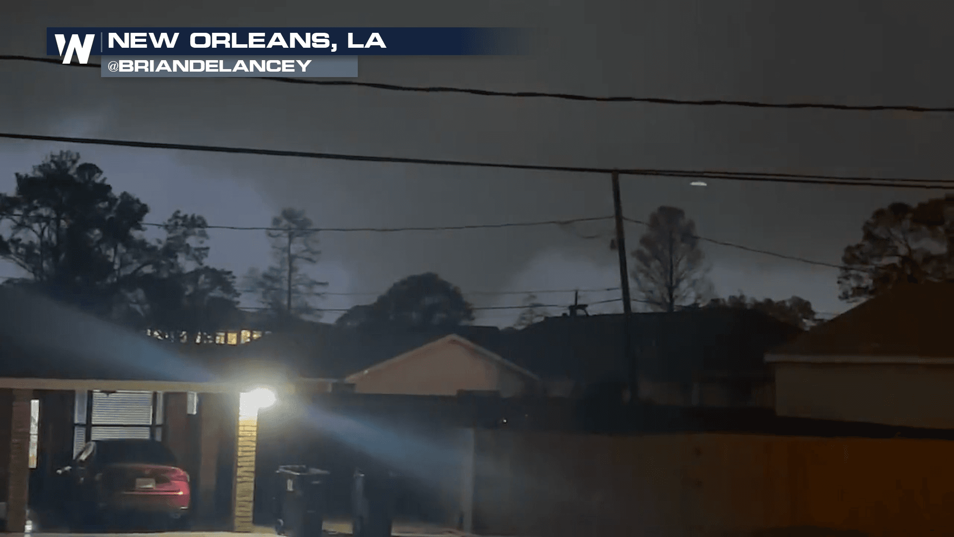
Tuesday evening, around 7 p.m. local time, the National Weather Service issued a tornado warning for Jefferson Parish to the south of New Orleans. A severe thunderstorm was quickly developing and racing to the northeast. About 20 minutes later, the severe thunderstorm intensified as it crossed into the New Orleans, Louisiana metro area.
https://twitter.com/WeatherNation/status/1506436528557461509
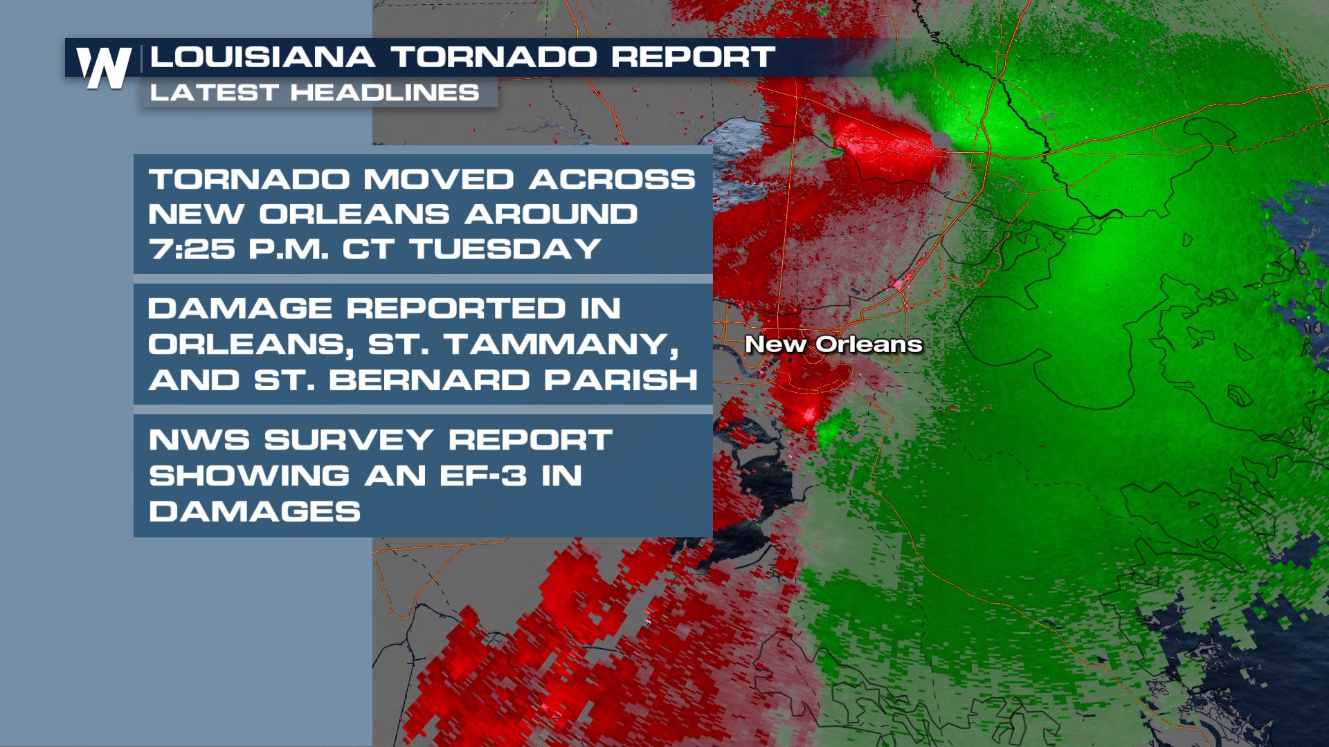
National Weather Service crews surveyed the damages and have identified this tornado as an EF-3. The full survey has been completed and the track of the tornado was 11.5 miles long with peak winds of 160 mph, just 6 mph shy of being rated an EF-4.
 The National Weather Service in New Orleans shared local NBC affiliate WDSU's tweet, showing a large and dangerous tornado moving through the city.
https://twitter.com/NWSNewOrleans/status/1506429457761980421
Just as quickly as the tornado spun up and moved through the city, it exited to Lake Ponchartrain and to the northeast. By 8 p.m. CT thunderstorms were clearing the city to the east.
https://twitter.com/NWSNewOrleans/status/1506433383471226885
Trees were reportedly knocked down across Interstate 12 in St. Tammany Parish in Louisiana. This tornado was part of a larger complex of thunderstorms that sparked severe winds and tornadoes across the South on Tuesday. This is a view of the devastation that was left behind...
[embed]https://twitter.com/WeatherNation/status/1506631855126290444[/embed]
The severe thunderstorm threat will continue to move to the east. For the latest forecast click/tap here.
The National Weather Service in New Orleans shared local NBC affiliate WDSU's tweet, showing a large and dangerous tornado moving through the city.
https://twitter.com/NWSNewOrleans/status/1506429457761980421
Just as quickly as the tornado spun up and moved through the city, it exited to Lake Ponchartrain and to the northeast. By 8 p.m. CT thunderstorms were clearing the city to the east.
https://twitter.com/NWSNewOrleans/status/1506433383471226885
Trees were reportedly knocked down across Interstate 12 in St. Tammany Parish in Louisiana. This tornado was part of a larger complex of thunderstorms that sparked severe winds and tornadoes across the South on Tuesday. This is a view of the devastation that was left behind...
[embed]https://twitter.com/WeatherNation/status/1506631855126290444[/embed]
The severe thunderstorm threat will continue to move to the east. For the latest forecast click/tap here.All Weather News
More
Wildfire Outbreak in the Pacific Northwest
SPOKANE, WA - On Saturday, August 1st, the Ol
3 Aug 2026 1:55 AM

More Storms for the East Through Monday
A low-pressure system that moved through the
3 Aug 2026 1:50 AM


After Reaching Category 5, Genevieve Weakens in the Pacific
PacificGenevieve formed last Friday south of
3 Aug 2026 12:30 AM

Flooding, Severe Storms Target the Midwest Again
After an active week of storms across the nor
1 Aug 2026 1:40 AM

Flooding Risk Increases as Heavy Rain Targets the Tri-State Area
Tuesday, heavy rainfall moved across the Nort
30 Jul 2026 12:25 AM

Severe Weather: Energy From the Midwest Now in the Southeast
UPPER MIDWEST - Through Monday, dangerous tor
29 Jul 2026 10:30 PM