NOAA Question and Answer on Extreme Rainfall and Flood Forecasting
From NOAA
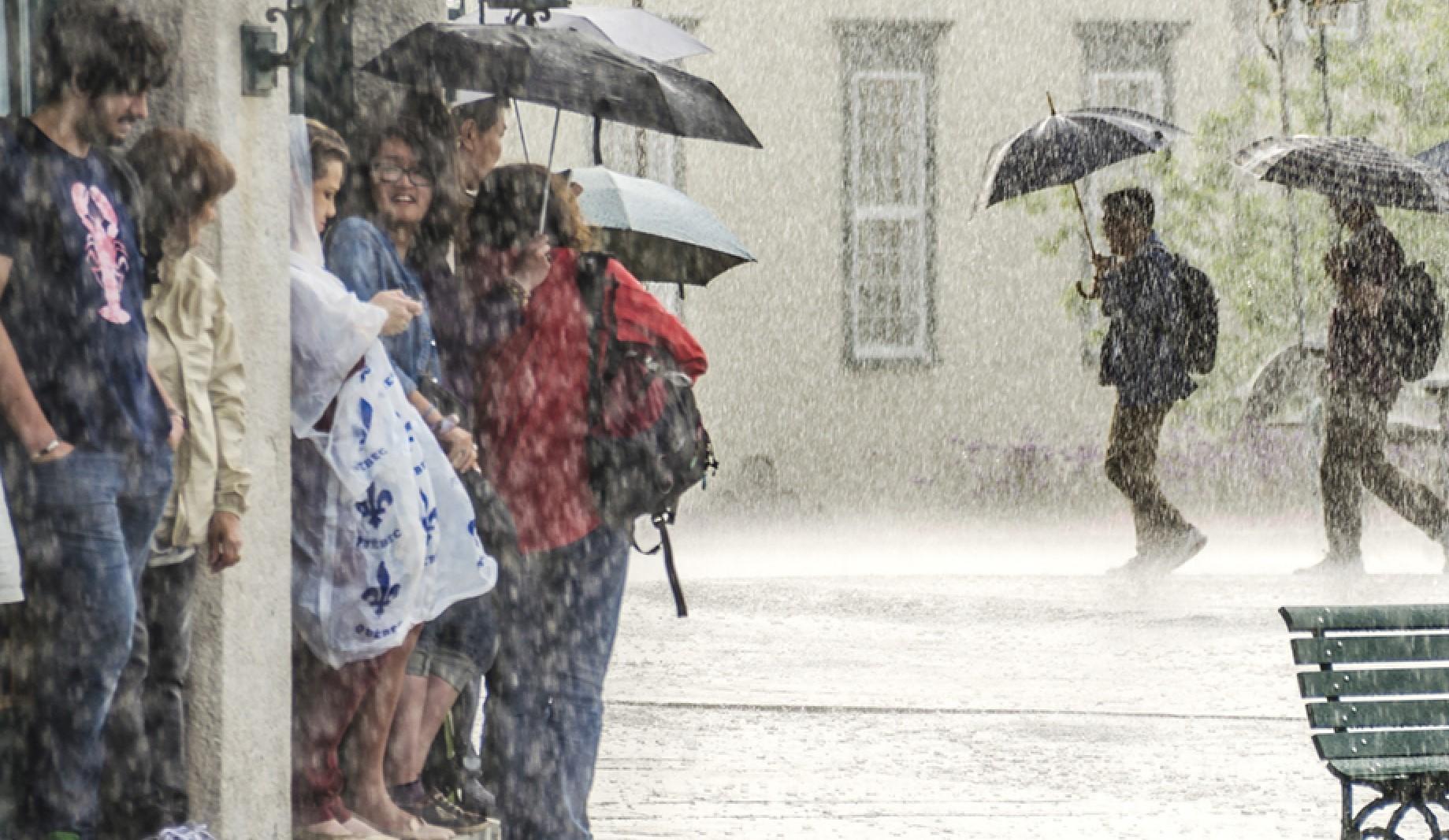
When it rains, it pours, the saying goes. When it pours to excess, that’s when life gets messy. And possibly dangerous.
We spoke with NOAA weather expert Dr. David Novak, Director of NOAA’s Weather Prediction Center to better understand why extreme rainfall events occur and how timely forecasts matter:
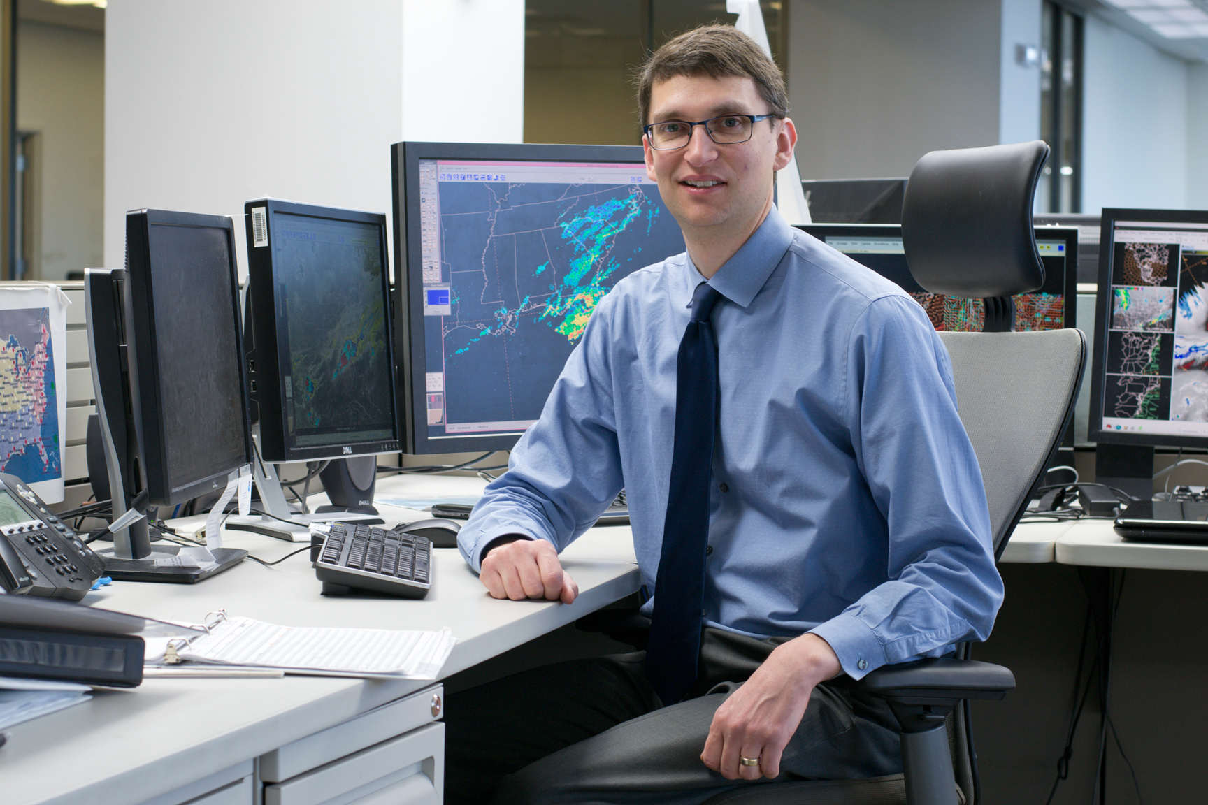
[Extreme weather expert Dr. David Novak is the Director of NOAA’s Weather Prediction Center in College Park, Maryland. (NOAA)]
Q: So, what defines extreme rainfall events, and why do they happen?
David Novak (DN): While there is no single definition of extreme rainfall, per se, a good benchmark is a month’s worth of rain for a given location falling in one day — that’s a big event. And impacts vary by location.
Many events of extreme rainfall share characteristics, such as high moisture and an atmospheric disturbance (i.e., a winter storm, warm/cold front or tropical cyclone). The longer these conditions persist in the same place, the more extreme the rainfall you’re likely to have.
For example: We know that warmer air can hold more moisture, and moisture is a key ingredient to heavy rainfall, so it stands to reason that a warmer environment overall is capable of generating more extreme rainfall.
Q: Is it just us or are extreme rainfall events happening more often?
DN: Good question! Data from the recent U.S. Climate Assessment show that heavy rainfall is increasing in intensity and frequency — particularly in the U.S. Northeast. At the same time, our vulnerability to extreme rainfall is increasing — and the effects of excessive rain are more impactful — as more people are living in low-lying areas, and land development is changing drainage patterns.
Q: What factors can shift a heavy rain event into one that will produce flash floods?
DN: When there is more rain than the soil can absorb, water will quickly run-off into rivers and creeks to overwhelm culverts and storm drains and cause a flash flood. This depends on several factors including rainfall rate, soil type, terrain and amount of moisture in the soil.
Q: What does NOAA’s National Weather Service do to forecast heavy rainfall and warn of the dangers of flash flooding?
DN: The NWS warning system provides a “Ready, Set, Act” approach to warning people of a hazard. Our meteorologists combine weather and river observations with the best forecasting science to provide a continuous stream of information.
From seven days in advance of extreme rainfall and up to warnings we issue one hour before rainfall and flash flooding occurs, we work directly with emergency management officials to ensure they have the latest information to make important public safety decisions.
[This animation from June 3, 2018, captured a wet day in the interior Mid-Atlantic as a slow-moving low pressure system developed. Heavy rain associated with this pattern inundated the area as the frontal system arrived from the west and pushed the rain out to sea. Satellite, radar and Weather Prediction Center surface analyses were combined to create this animation. (NOAA)]
Q: When an extreme rainfall event is in the forecast, what should people do?
DN: Heavy rainfall forecasts should be taken seriously. We have seen time and time again that rain can become a big problem when too much of it comes down too fast.
Before rain is in the forecast, know your risks: Are you in a low-lying area? What is your evacuation route? Then when a Flood Watch or Warning is issued, be ready to move to higher ground. Always heed the instructions of local officials who know your area best.
Most flood-related deaths occur in vehicles. It only takes one foot of water to sweep your vehicle away, so if you see water across the road, remember: Turn around, don’t drown.
Edited for WeatherNation by Meteorologist Mace Michaels


