Northern U.S. to See More Snow
Special Stories
19 Nov 2019 10:57 PM
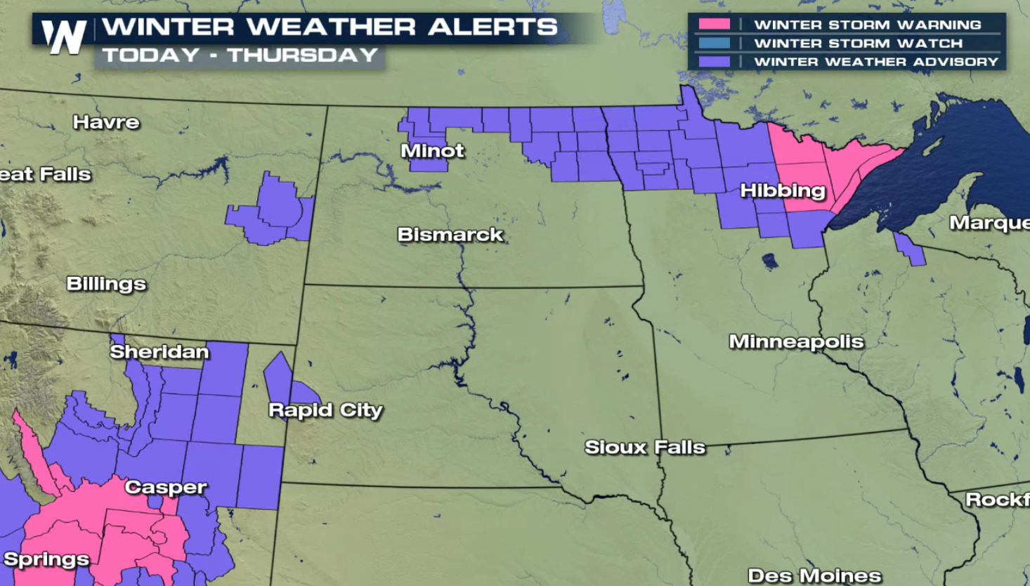
NORTHWEST ALERTS AND SNOWFALL FORECAST
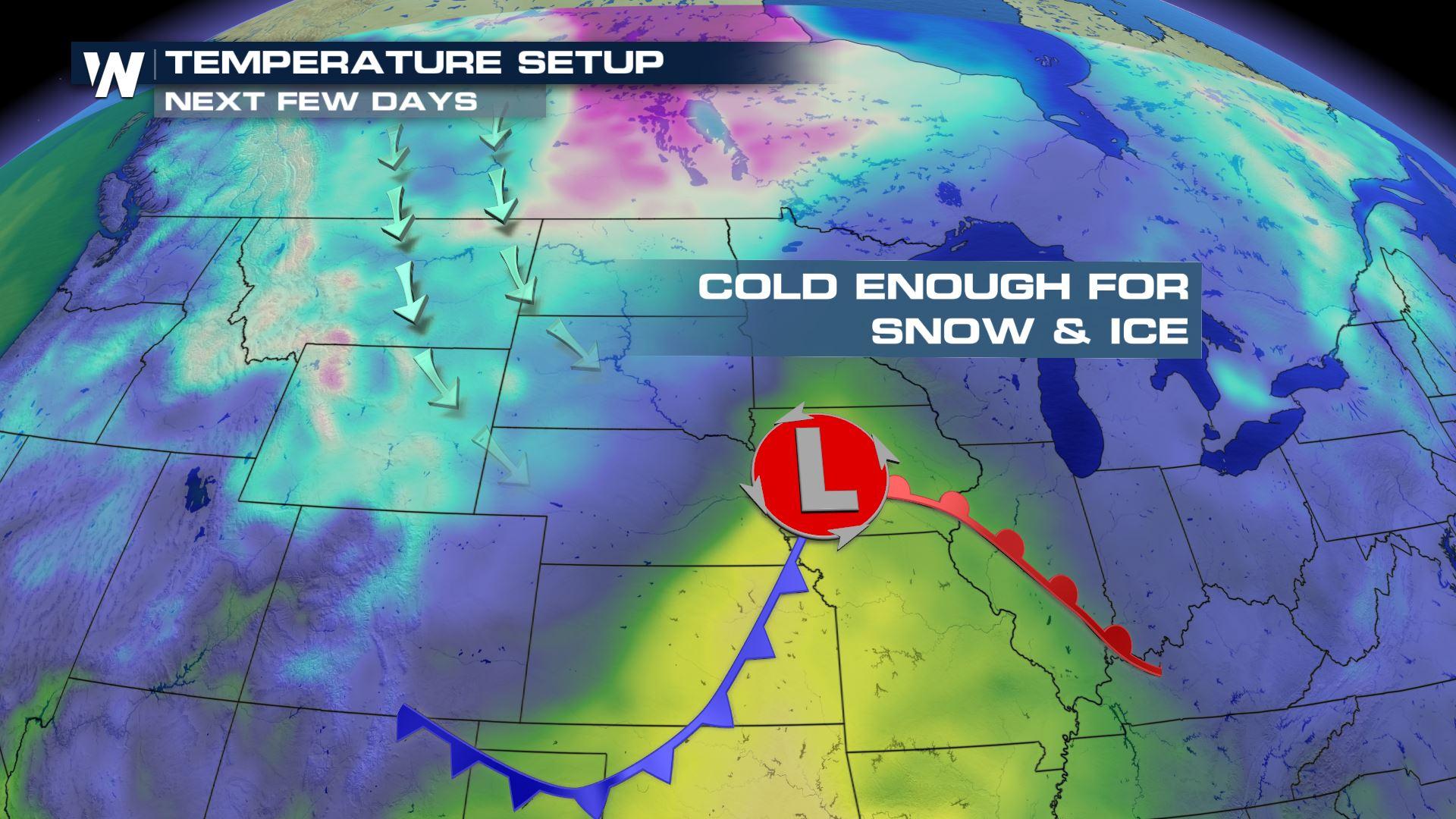
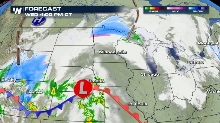
 More snow is on the way for areas into the High Plains and Upper Midwest.
Just within the next 24 hours, we are expected to see up to 8 inches of snowfall! It will be common to see as least 3 inches for everyone else across the northwest.
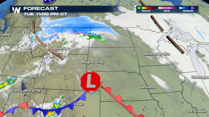
More snow is on the way for areas into the High Plains and Upper Midwest.
Just within the next 24 hours, we are expected to see up to 8 inches of snowfall! It will be common to see as least 3 inches for everyone else across the northwest.
HIGH PLAINS FORECAST
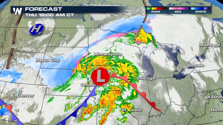
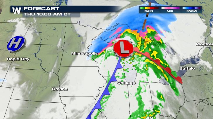 By tomorrow, the snow will start to move into the upper Midwest. This snow will continue throughout Wednesday and Thursday morning. By the afternoon, much of the snow will have moved out with the exception of a few isolated snow showers for Michigan.
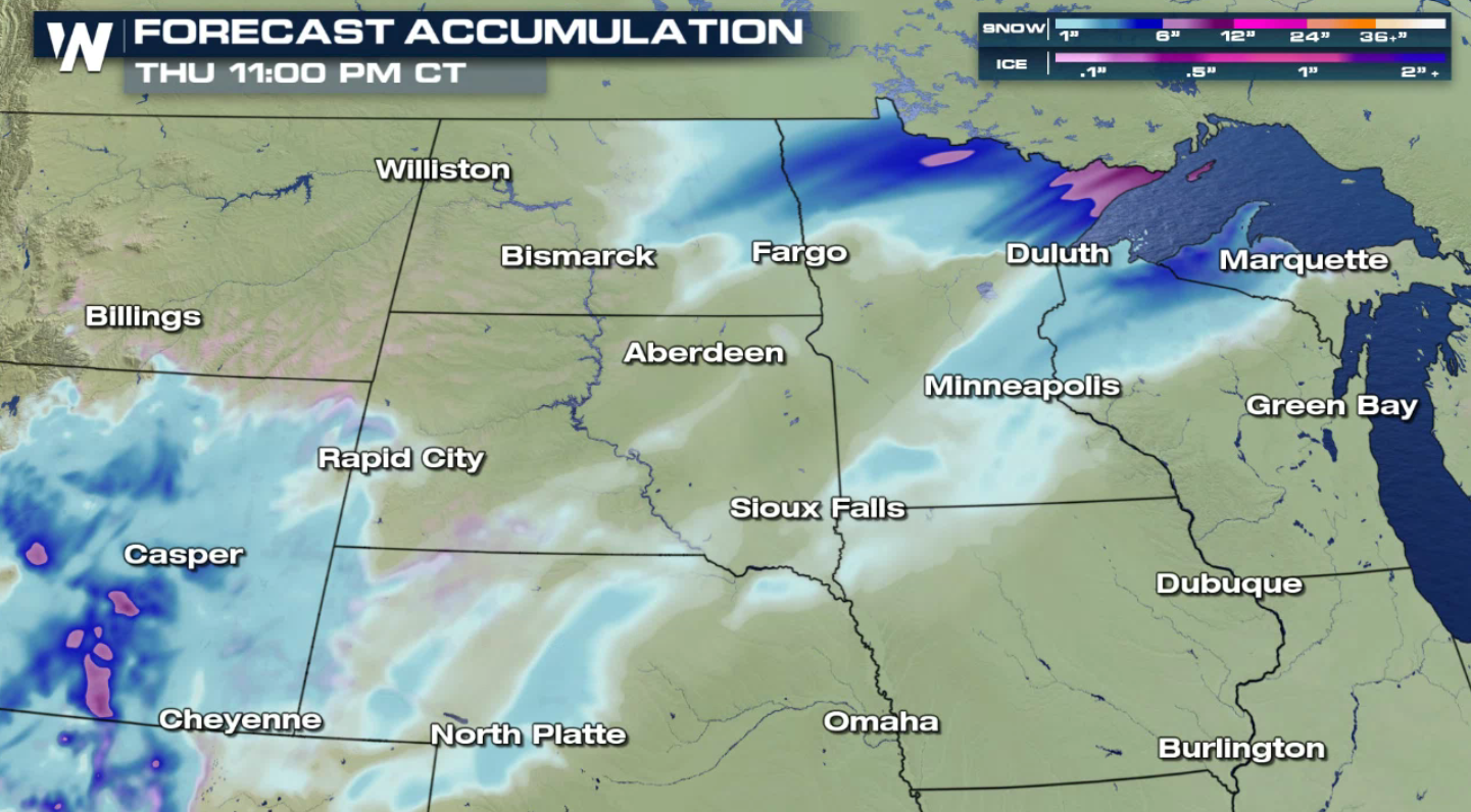
Snowfall totals for the upper Midwest will be the highest in northern Minnesota where up to 10 inches of snowfall will be possible! Ice accumulation is also expected around the region. Be careful while driving around. You might run into a few slick spots!
By tomorrow, the snow will start to move into the upper Midwest. This snow will continue throughout Wednesday and Thursday morning. By the afternoon, much of the snow will have moved out with the exception of a few isolated snow showers for Michigan.
Snowfall totals for the upper Midwest will be the highest in northern Minnesota where up to 10 inches of snowfall will be possible! Ice accumulation is also expected around the region. Be careful while driving around. You might run into a few slick spots!All Weather News
More


More Storms for the East Sunday and Monday
A low-pressure system crashing through the Mi
2 Aug 2026 2:20 AM

After Reaching Category 5, Genevieve Weakens in the Pacific
PacificGenevieve formed on last Friday south
2 Aug 2026 1:30 AM

Flooding, Severe Storms Target the Midwest Again
After an active week of storms across the nor
1 Aug 2026 1:40 AM

Flooding Risk Increases as Heavy Rain Targets the Tri-State Area
Tuesday, heavy rainfall moved across the Nort
30 Jul 2026 12:25 AM

Severe Weather: Energy From the Midwest Now in the Southeast
UPPER MIDWEST - Through Monday, dangerous tor
29 Jul 2026 10:30 PM