Northwest Storm Chances Hurt, Not Help, Fire Danger
Special Stories
16 Aug 2018 7:54 AM
Storms return to the forecast for the Northwestern U.S. today but the rain chances don't help the fire danger in the area. Fire weather alerts are out for Oregon, Washington, Idaho and Montana Thursday and Friday afternoons.
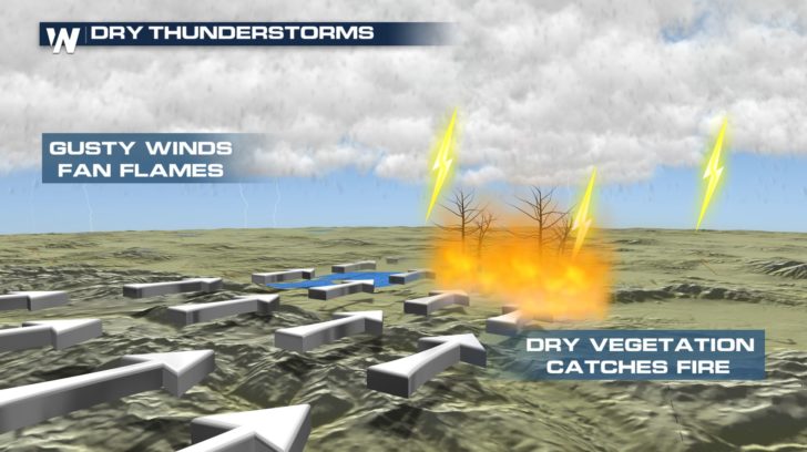
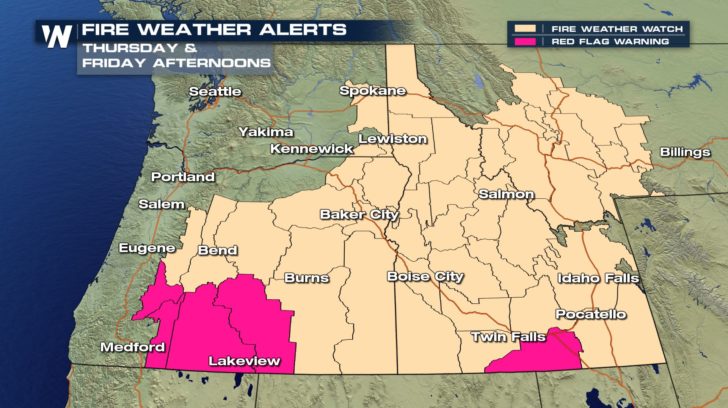 Although storm chances will return to the region, relative humidity is low. This means the air is dry and there is a greater chance of some, or all, of the moisture evaporating before it hits the surface. This increases the risk of "dry thunderstorms." Here's a breakdown of how these storms increase fire danger:
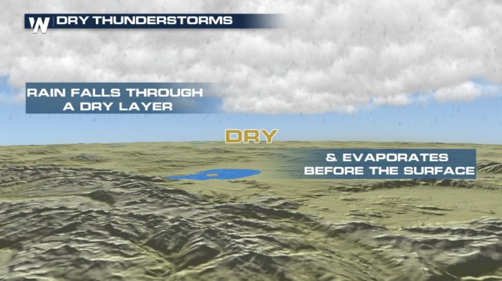
First- a high based thunderstorm develops. The higher the base, the more dry air the rain has to pass through before reaching the surface. This leads to virga, or the rain evaporating before it touches the ground. This leaves the ground dry.
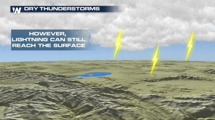
 Second- the storm produces lightning. This still reaches the ground, which has remained dry, and could ignite brush on the surface.
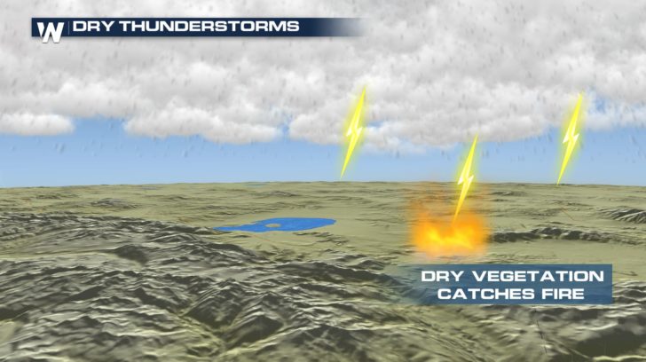 Third- gusty winds from the storm fuel the flames and could create a large wildfire in a short period of time.
 For WeatherNation: Meteorologist Emily Roehler
 Although storm chances will return to the region, relative humidity is low. This means the air is dry and there is a greater chance of some, or all, of the moisture evaporating before it hits the surface. This increases the risk of "dry thunderstorms." Here's a breakdown of how these storms increase fire danger:
First- a high based thunderstorm develops. The higher the base, the more dry air the rain has to pass through before reaching the surface. This leads to virga, or the rain evaporating before it touches the ground. This leaves the ground dry.
 Second- the storm produces lightning. This still reaches the ground, which has remained dry, and could ignite brush on the surface.

 Third- gusty winds from the storm fuel the flames and could create a large wildfire in a short period of time.
 For WeatherNation: Meteorologist Emily Roehler
All Weather News
More