Kicking Off Summer with Rockies Snow

Top Stories
22 Jun 2025 2:45 PM
The summer solstice happened on Friday, June 20th, but apparently the Northern Rockies missed the memo. A cold (relatively) area of low pressure is dropping through the Northwest, creating rain, thunderstorms, and even heavy mountain snow. Winter alerts will remain in place through lunch time.
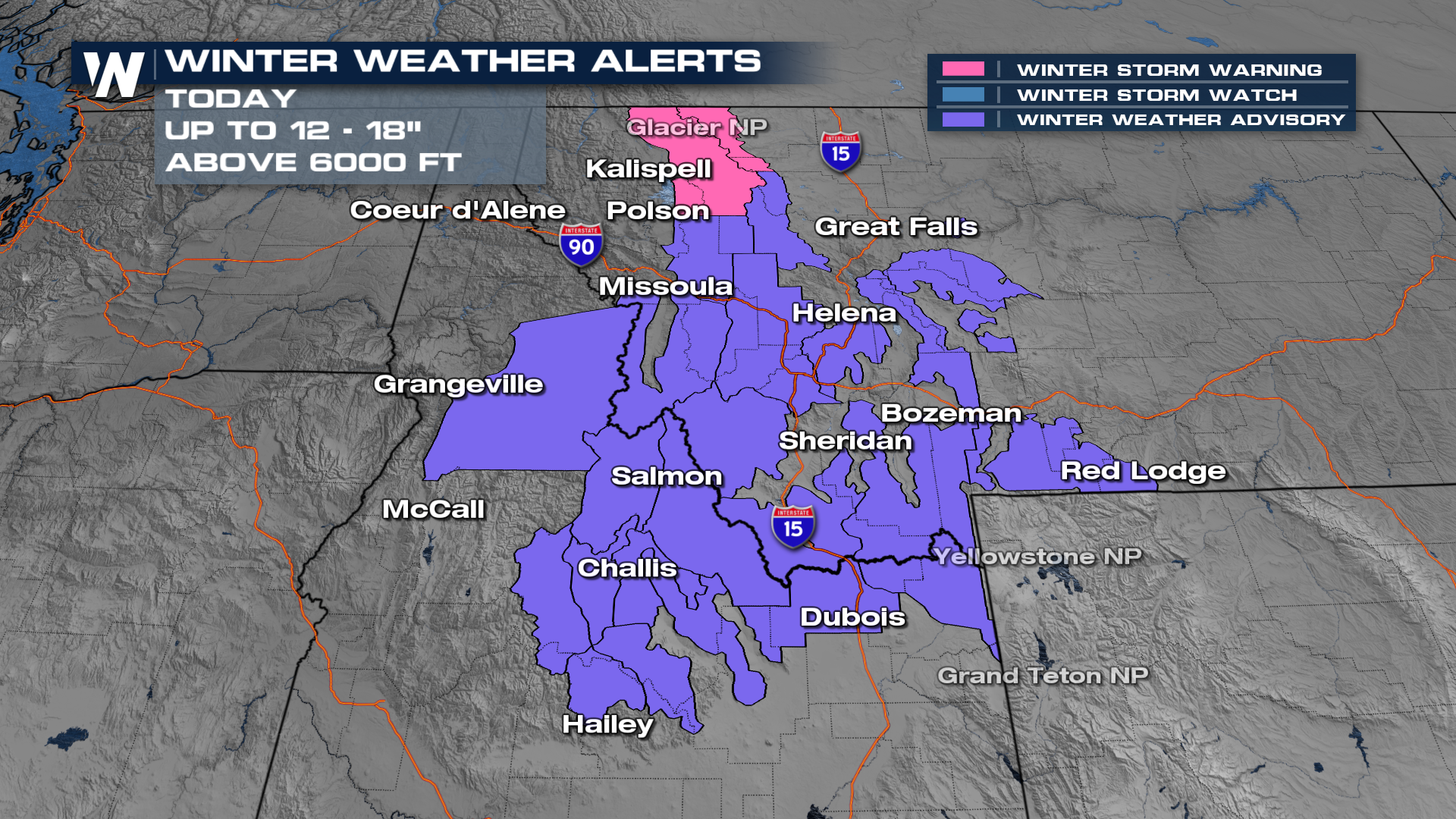 Once we move past lunch, things will quickly subside.
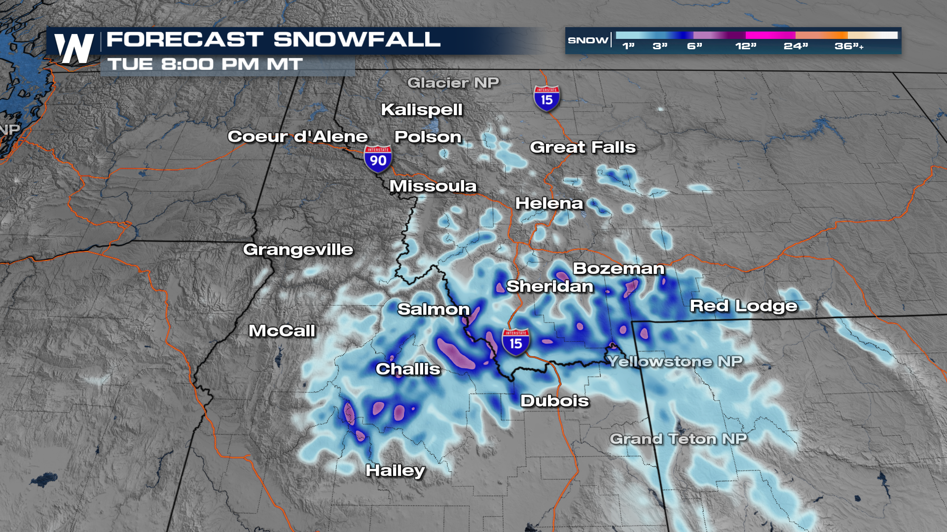
There will still be some additional accumulation before all is said and done.
 More on your Western Regional Forecast can always be found :50 past the hour on WatherNation.
All Weather News
More
Gulf Coast Under Water Remnants of Tropical Storm Arthur Head East
The National Hurricane Center has been tracki
19 Jun 2026 5:05 PM

Gulf Coast Heat Index to Dangerous Levels
Heat and humidity in the southern plains and
19 Jun 2026 4:45 PM

Dry T-Storms & Fire Danger in the West
A weak low pressure system moving through the
19 Jun 2026 3:08 PM

Tornadoes Tear Through The Midwest, Threat Heads to the East Coast Friday
EARLIER THIS WEEKMONTROSE, IL - A dangerous
19 Jun 2026 2:10 PM

Severe Storms, Flash Flooding Threat Returns Across Plains and Midwest This Weekend
Another threat of severe weather is expe
19 Jun 2026 2:00 PM

Welcome To Monsoon Season - Here's What to Expect
WELCOME TO THE NORTH AMERICAN MONSOON SEASON.
19 Jun 2026 8:10 AM

El Niño Forms, Very Strong El Niño Likely Late 2026
El Niño has arrived! It didn't take long for
15 Jun 2026 8:00 AM