Tonight's Severe Risk From the Ark-La-Tex to the Lower Mississippi Valley

After a devastating day of tornadoes in Oklahoma on Thursday, A mid-level shortwave trough digging into the Mississippi River Valley will bring a risk of large hail, damaging winds, and a few tornadoes. Cities across the Arklatex may be impacted by severe weather tonight and into the early morning hours of Saturday. Here is a look at the very latest severe forecast.
Severe Outlook
*UPDATE* The Storm Prediction Center upgraded Friday's outlook to an enhanced risk for severe storms over the Ark-La-Tex. This means numerous severe storms are possible.
Significant hail remains possible tonight. 2" diameter hail (lime-sized) could accompany these storms for Friday night and early Saturday morning. The greatest risk for hail is in the pink shaded area on the map. Larger hail is possible in the lined area. Anything outdoors that can be damaged by hail will need to be covered up or brought inside.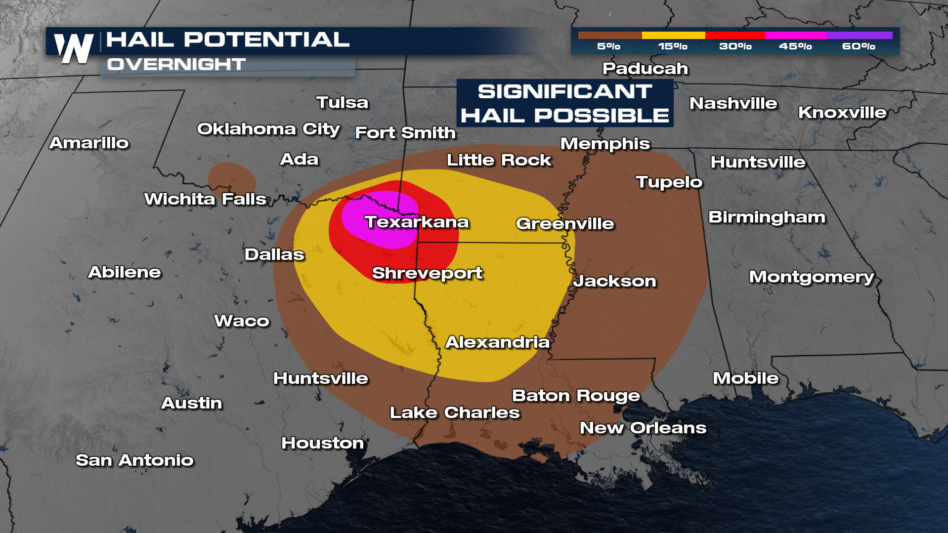
People should have multiple ways to get warnings with the possibility of tornadoes. A slightly higher threat of EF-2 or greater tornadoes is possible in the lined area.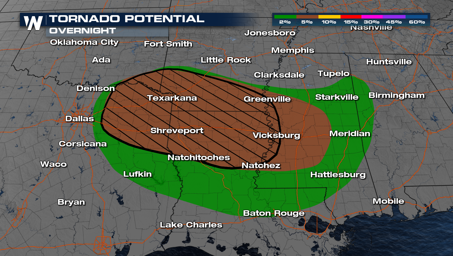
Forecast
More updates are on the way on-air and online.


