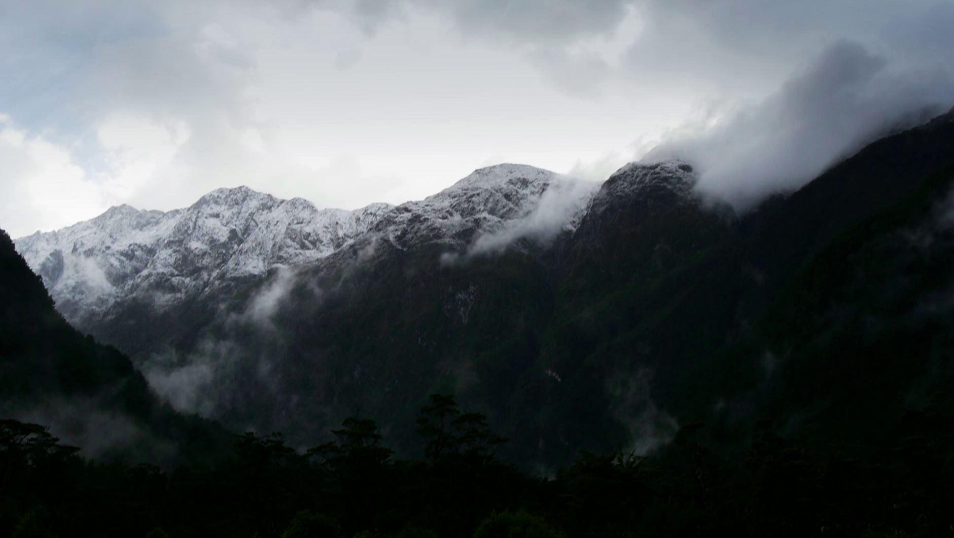
Parts Of The Cascades To Get 3 Feet of Snow Next Few Days
Special Stories
11 Dec 2018 7:15 AM
A potent storm system is on the way to the Pacific Northwest. This storm will bring several rounds of rain and snow beginning early Tuesday morning and lingering into Wednesday.
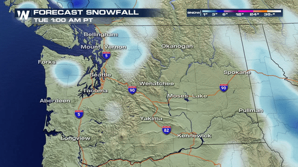
The first round of snow will dump close to a foot of snow over the next 36 hours.
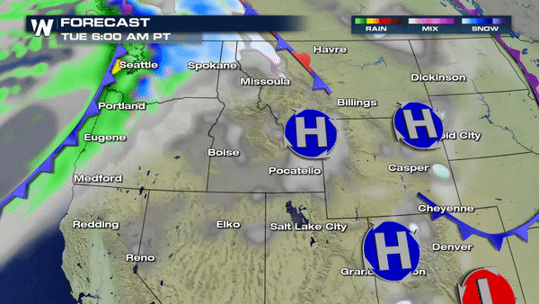 As one storm system exits the region, another will be right behind it and with freezing levels staying low, parts of the Cascades can expect accumulating snow to begin quickly as the next storm moves in by late week. Winter Weather Alerts are already in place for much of Washington state, Idaho, Oregon and Montana.
https://twitter.com/WeatherNation/status/1072515794796453889
Places like Mount Baker in Northern Washington state are likely to receive 36+ inches of snow over the course of the next 4-5 days.
As one storm system exits the region, another will be right behind it and with freezing levels staying low, parts of the Cascades can expect accumulating snow to begin quickly as the next storm moves in by late week. Winter Weather Alerts are already in place for much of Washington state, Idaho, Oregon and Montana.
https://twitter.com/WeatherNation/status/1072515794796453889
Places like Mount Baker in Northern Washington state are likely to receive 36+ inches of snow over the course of the next 4-5 days.
 Meteorologist Merry Matthews
As one storm system exits the region, another will be right behind it and with freezing levels staying low, parts of the Cascades can expect accumulating snow to begin quickly as the next storm moves in by late week. Winter Weather Alerts are already in place for much of Washington state, Idaho, Oregon and Montana.
https://twitter.com/WeatherNation/status/1072515794796453889
Places like Mount Baker in Northern Washington state are likely to receive 36+ inches of snow over the course of the next 4-5 days.
Meteorologist Merry Matthews
All Weather News
More
Fronts Continue To Spark Severe Weather Across the Plains
A cold front that brought record lows to the
18 Jul 2025 10:40 PM

Extreme Heat Impacts for the East Coast & South
Extreme heat continues to impact several area
18 Jul 2025 10:05 PM

Flooding Threat Remains Elevated in the East
A cold front pushing through the Eastern Seab
18 Jul 2025 9:10 PM

EF-2 Firenado from the Deer Creek Fire in Utah
A fire tornado was spotted near La Sal, Utah
18 Jul 2025 7:30 AM

Tropical System Brings Flood Risk to the Central Gulf
Time has run out for notable tropical develop
18 Jul 2025 3:05 AM

Heavy Rain, Flooding Threat Returns to Florida
Keep the rain boots handy in Florida - heavy
13 Jul 2025 12:50 PM

Severe Storm Risk Pushes into the Great Lakes, Ohio Valley
Friday was another busy day with severe weath
12 Jul 2025 8:00 PM