Eyes on the End of the Weekend: Renewed Storm Threat for the Plains

A large, high-impact storm system will work from the Plains --> to the Great Lakes --> to the Northeast over the weekend into early next week and millions will feel impacts from measurable snow, gusting winds, heavy rain, and a powerful cold front.
READ ABOUT THE SNOW/COLD SIDE OF THE STORM HERE: MIDWEST SNOW STORM
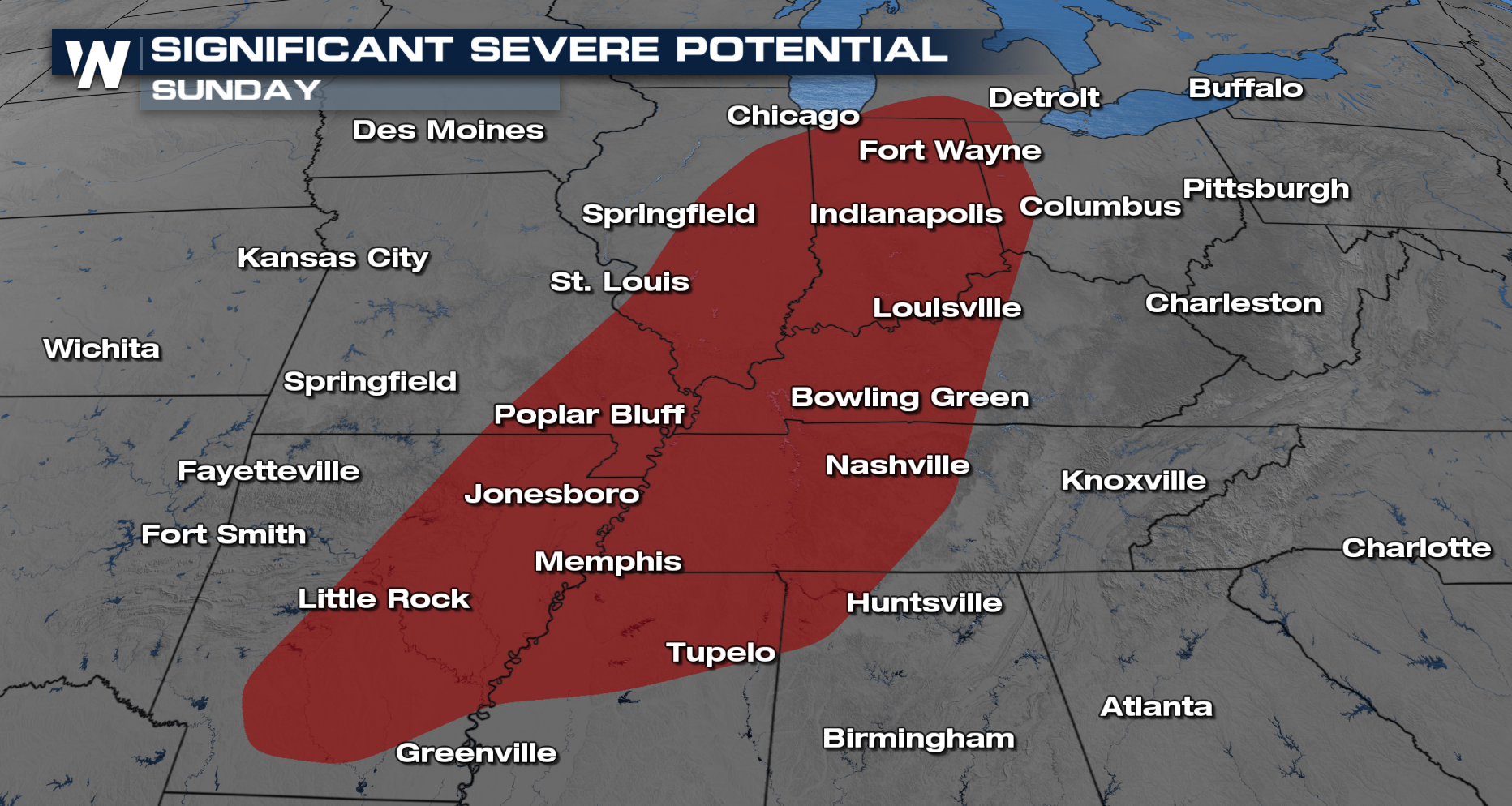
TORNADO THREAT
Some of these areas are still picking up the pieces from the last storm system that brought severe weather to Illinois and Indiana on Tuesday. An Enhanced Risk outlook (level 3 out of 5 severe threat) issued by the Storm Prediction Center (SPC) several days in advance is something to keep tabs on. Ingredients look to line up for Ef-2 or stronger tornadoes given the particular weather setup.
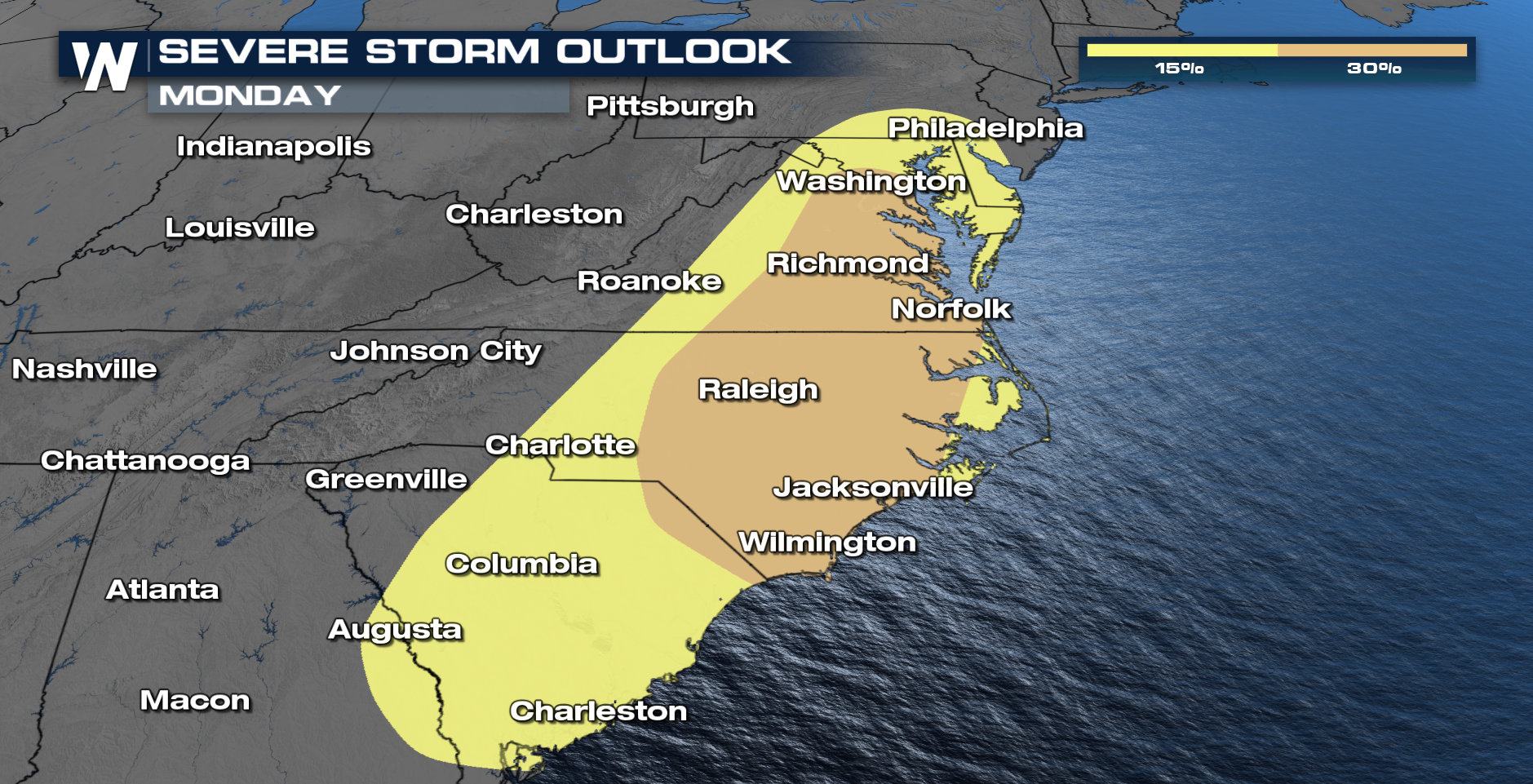
MONDAY'S THREAT
By Monday the threat moves to the Mid-Atlantic/ East Coast. Where dewpoints are expected to surge into the 60s, making the atmosphere have the energy to fuel strong storm development.