Severe Storms from the Ohio Valley to the Mid-Atlantic Sunday
Top Stories
29 Mar 2020 4:48 AM
A large upper-level trough moving over the Great Lakes will bring a chance for isolated severe storms today from the Ohio Valley to the Northeast. Isolated hail, wind and even a chance for a tornado will be possible. Here is the latest forecast.
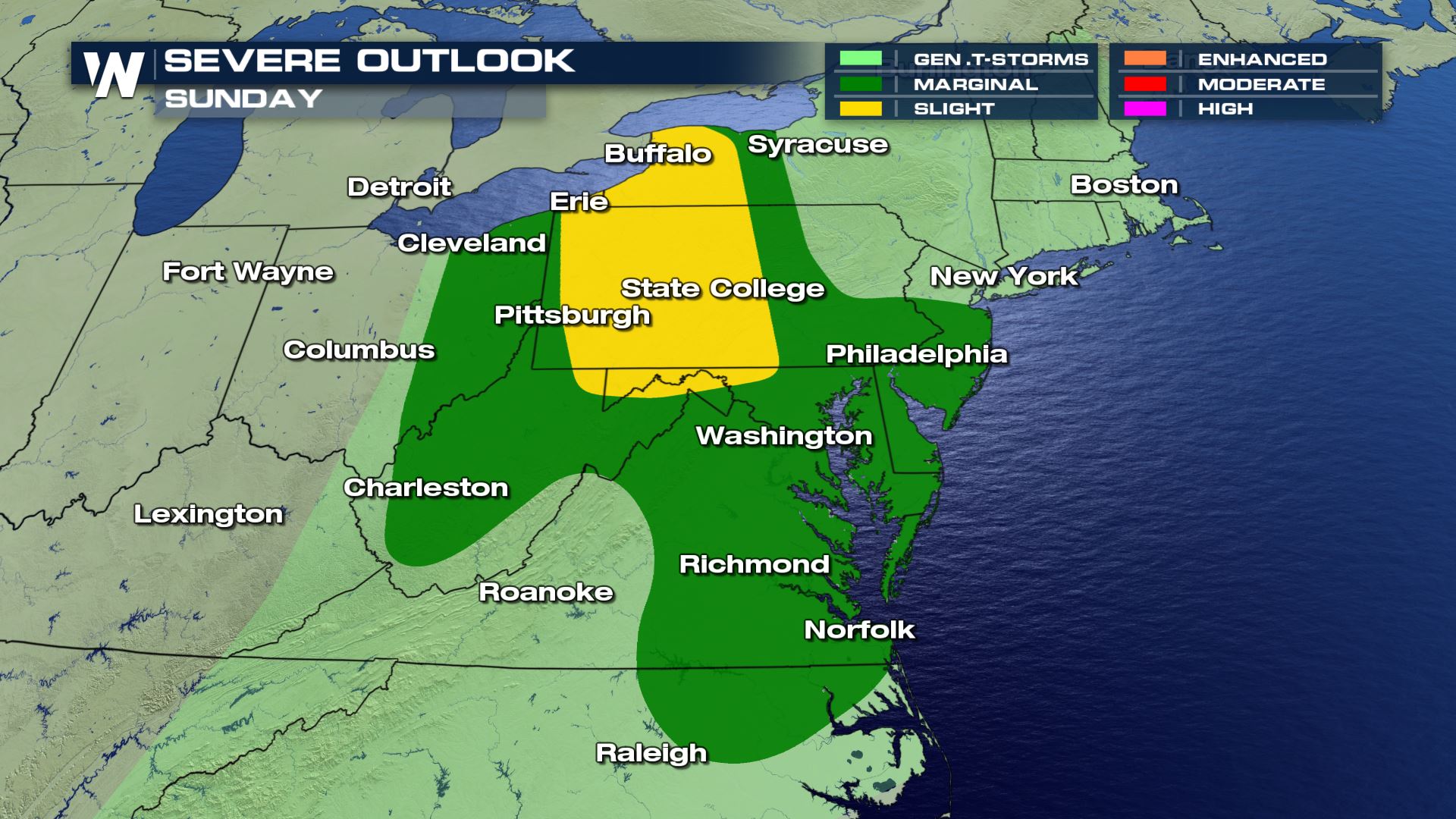 Anywhere from Virginia to New York State could see some isolated severe weather today. This severe outlook is much lowered compared to the severe outlook on Saturday, but don't let that bring your guard down. You will want to be ready to take cover in these areas if you are issued a severe alert.
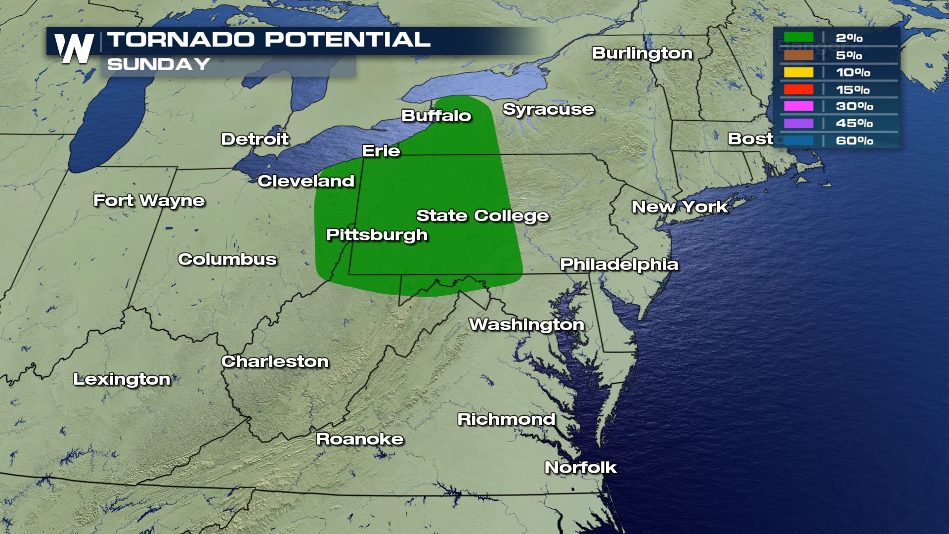
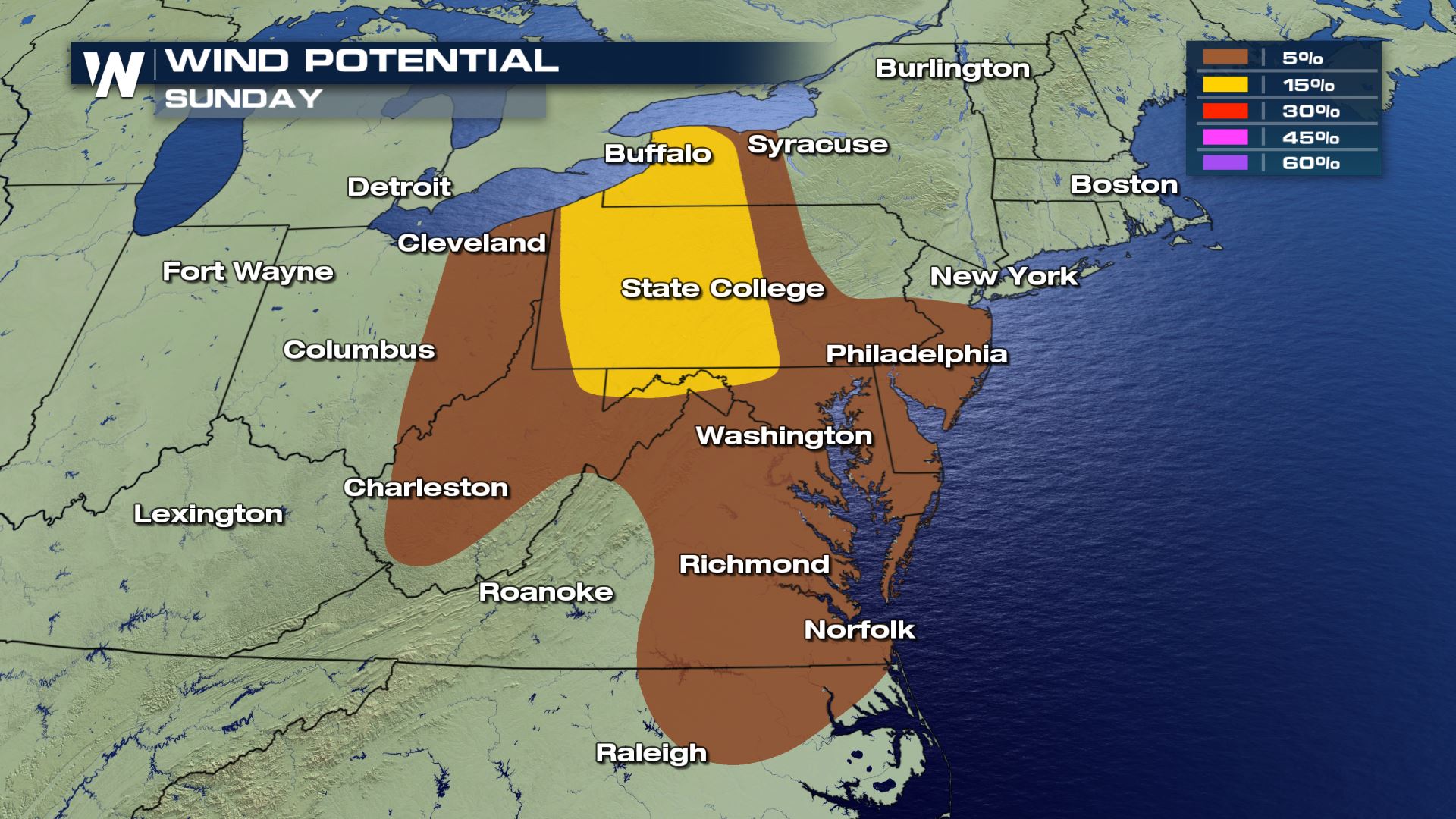
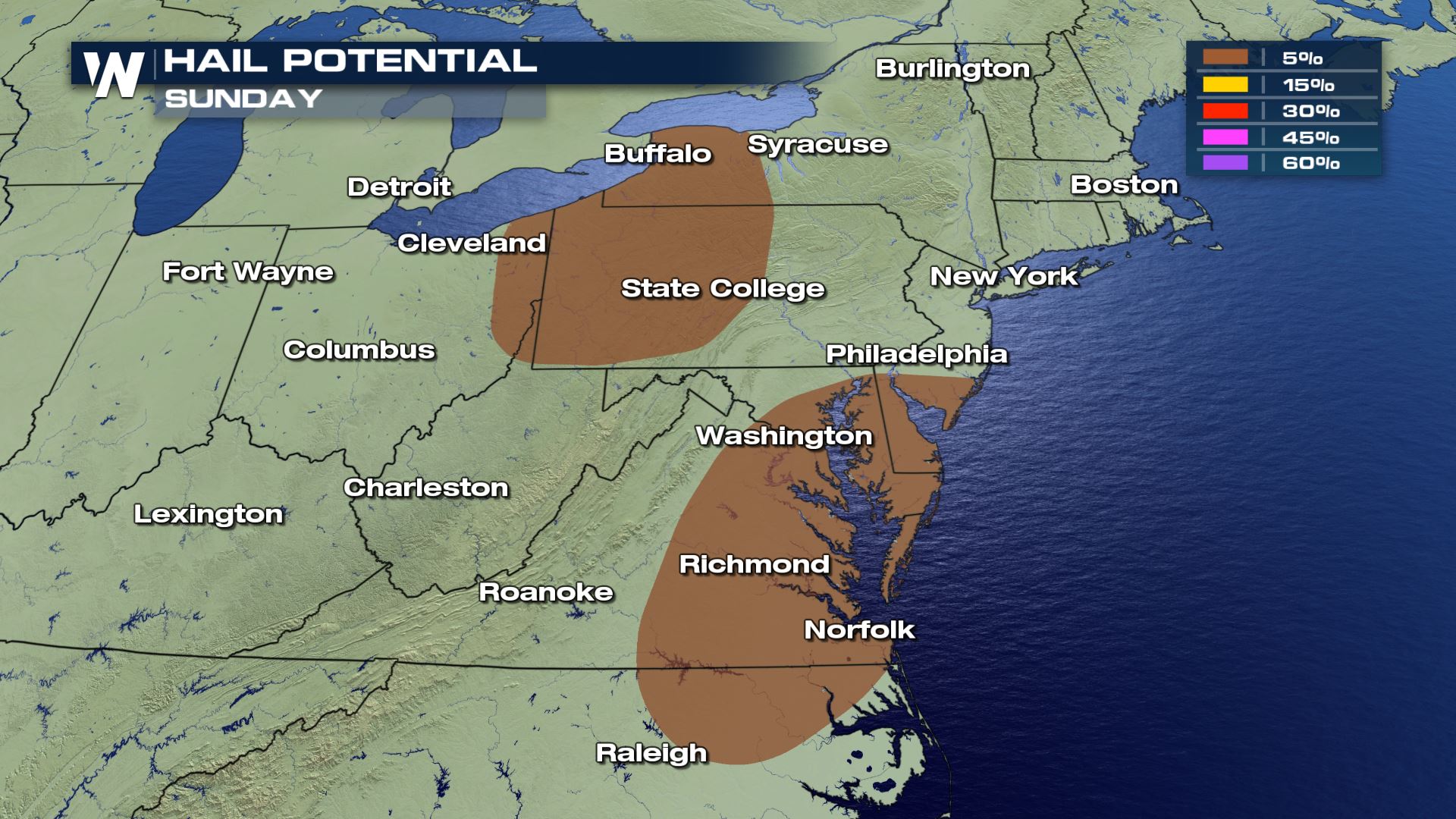 All modes of severe weather are in the forecast today with an isolated risk for large hail and a few tornadoes. The damaging wind threat will be highest with wind gusts of 60-70 mph possible.
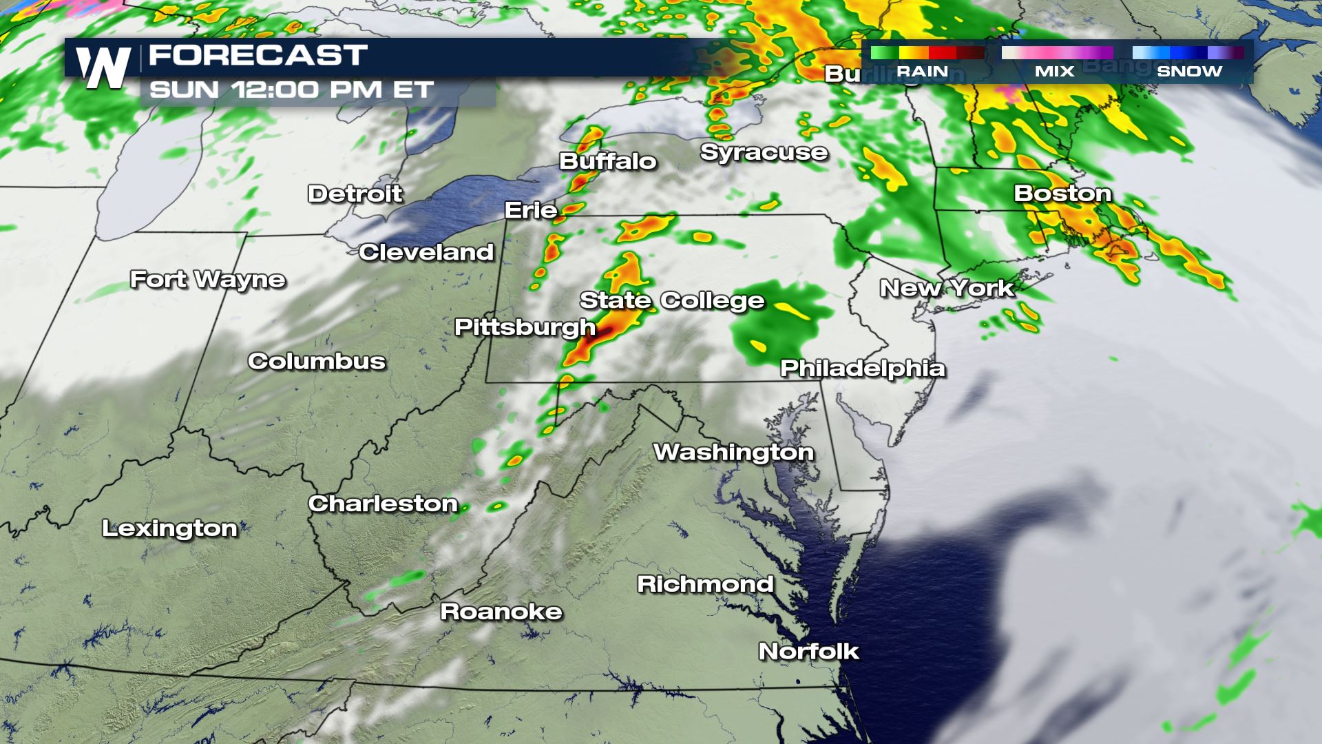
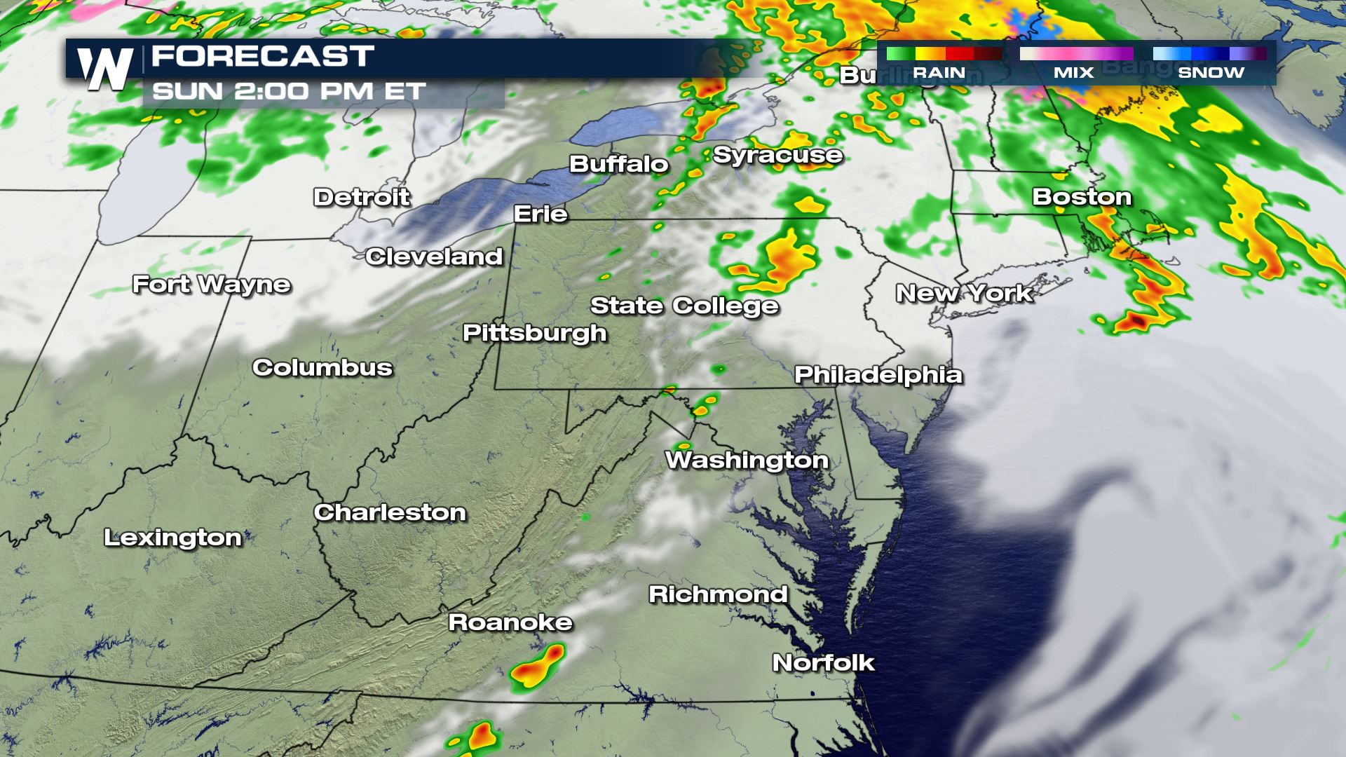
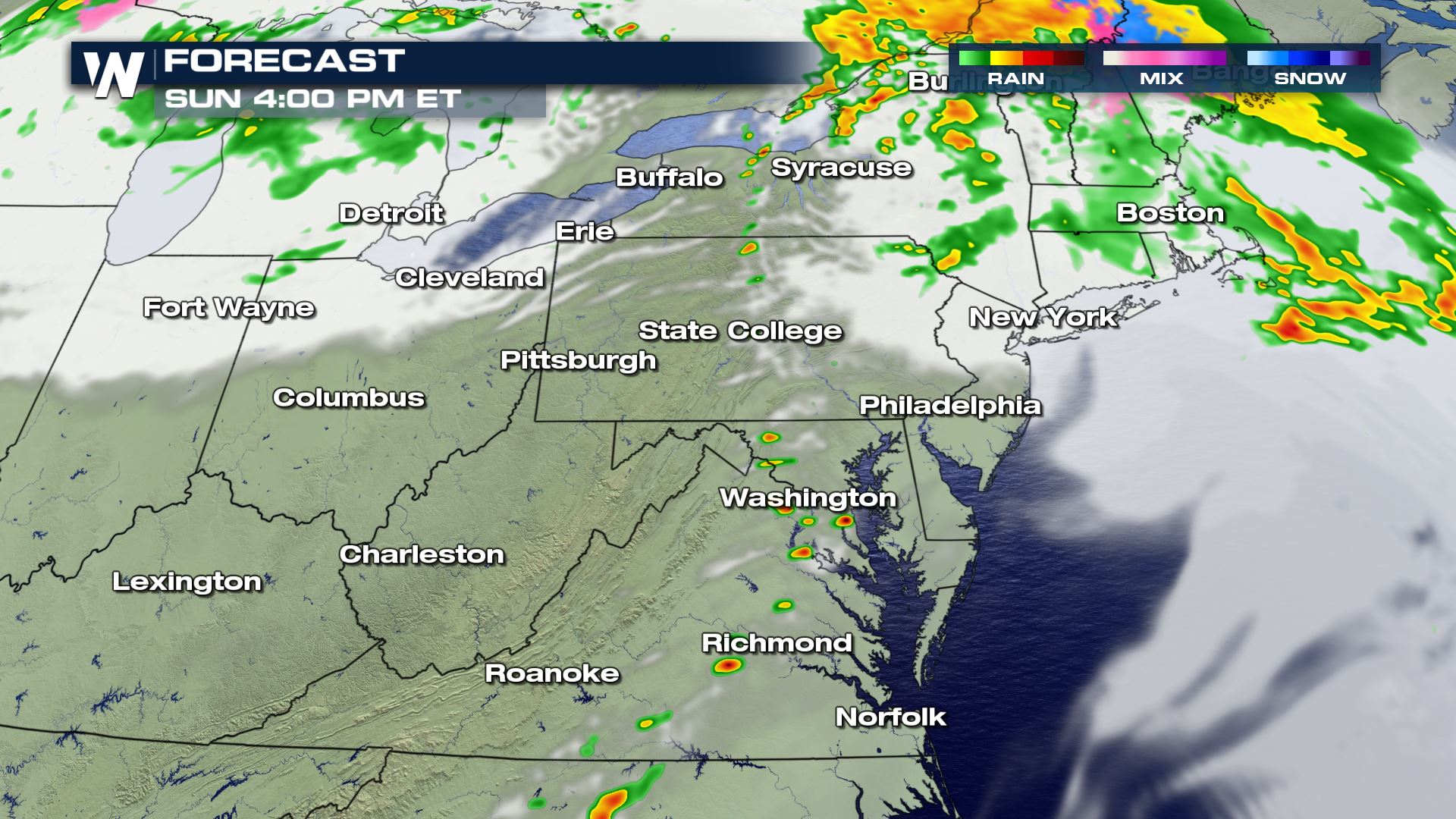
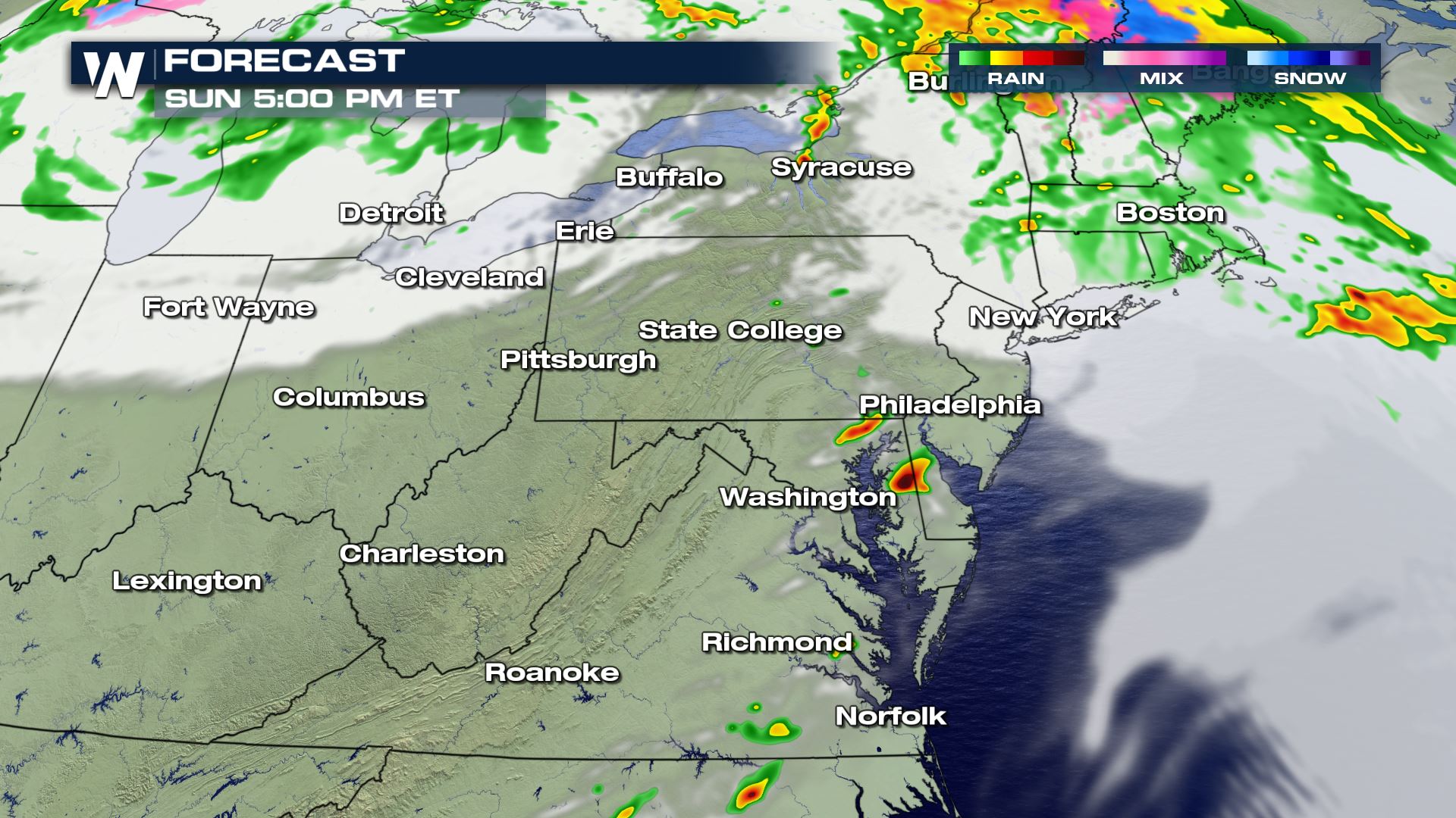 The timing for the severe storms will be during the afternoon and evening hours. Once the sun goes down, the severe risk will begin to diminish across these areas. Keep checking with WeatherNation for more updates on Sunday's severe weather risk.
Severe Outlook
 Anywhere from Virginia to New York State could see some isolated severe weather today. This severe outlook is much lowered compared to the severe outlook on Saturday, but don't let that bring your guard down. You will want to be ready to take cover in these areas if you are issued a severe alert.
Severe Risks


 All modes of severe weather are in the forecast today with an isolated risk for large hail and a few tornadoes. The damaging wind threat will be highest with wind gusts of 60-70 mph possible.
Forecast


 The timing for the severe storms will be during the afternoon and evening hours. Once the sun goes down, the severe risk will begin to diminish across these areas. Keep checking with WeatherNation for more updates on Sunday's severe weather risk.
All Weather News
More