Severe Storms Likely for the Mississippi and Ohio Valleys Tuesday Afternoon
Top Stories
25 Sep 2018 2:51 AM
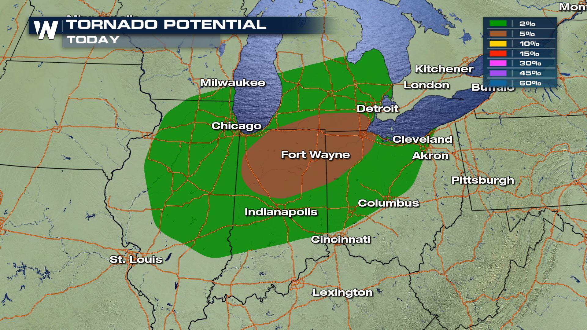
We are looking at a strong chance for damaging winds and isolated tornadoes over parts of the Mississippi and Ohio Valleys this afternoon and evening. The highest risk for tornadoes will be over Indiana and Ohio.
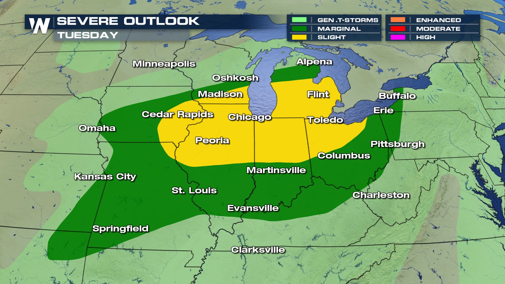 A good portion of the Ohio Valley and Great lakes will see the highest chance of severe weather today. Cities included in today's severe weather risk are St. Louis, Chicago, Milwaukee and Detroit.
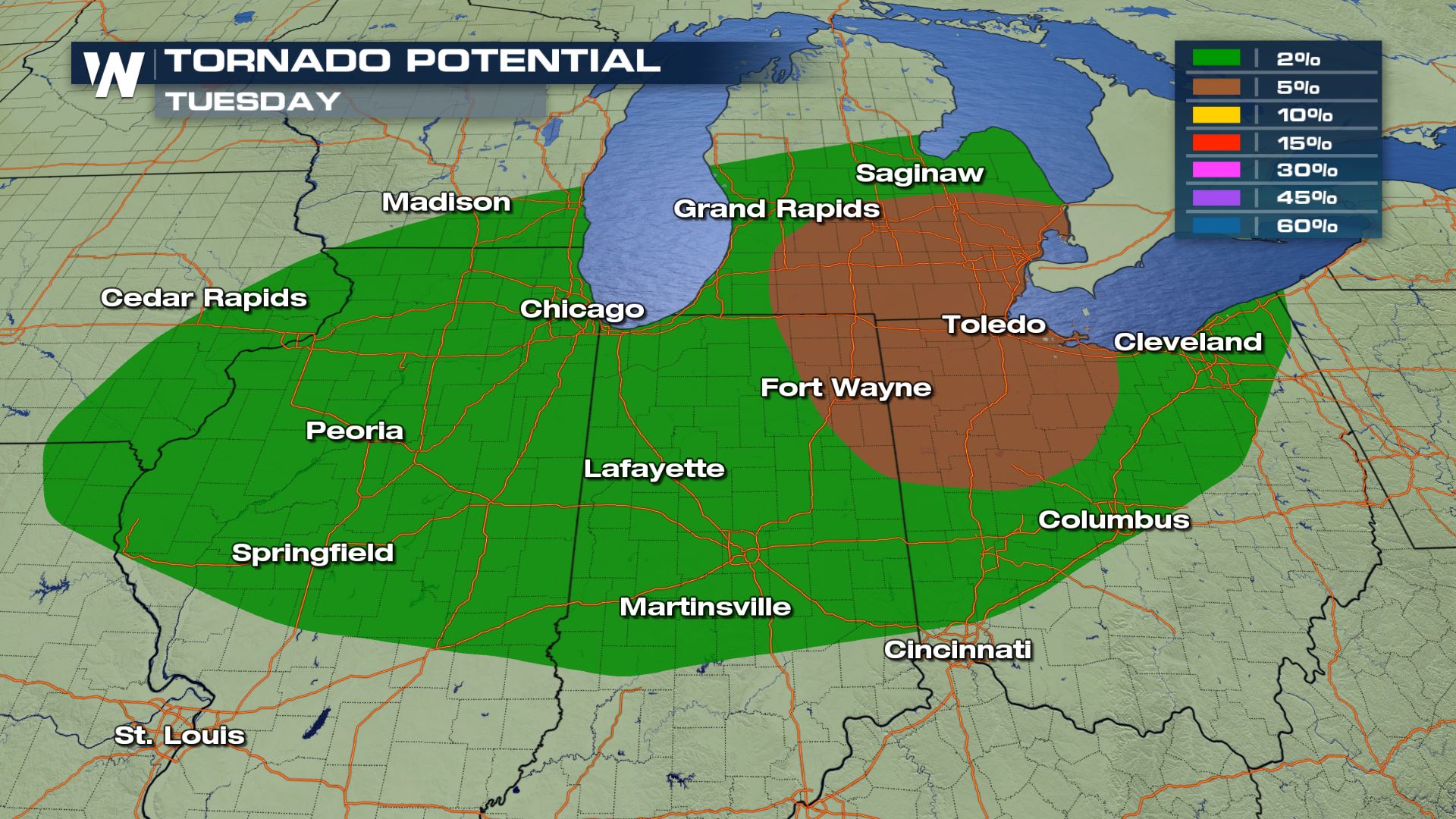
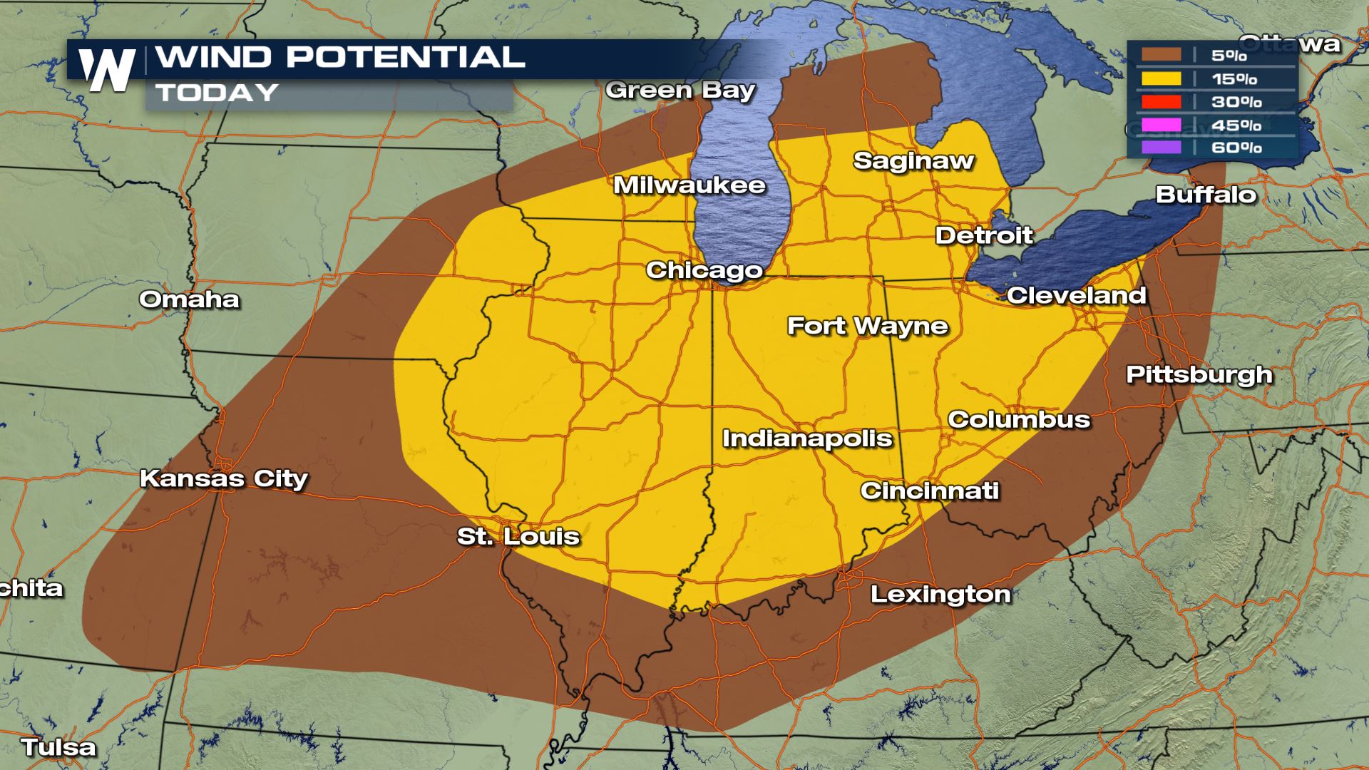
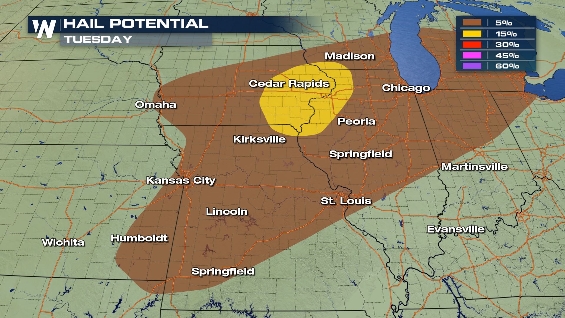 All modes of severe weather will be in play today with the damaging winds and tornado risks being the biggest threats to watch out for later today.
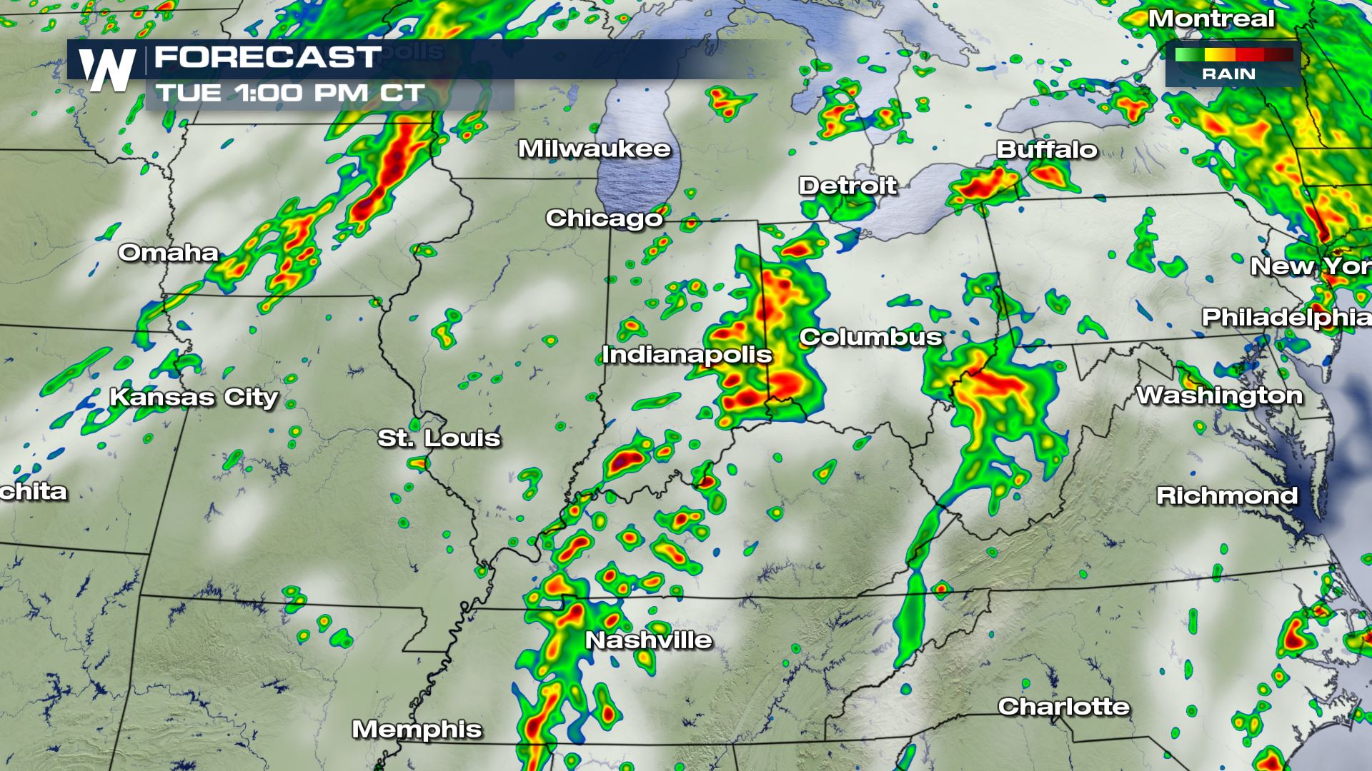
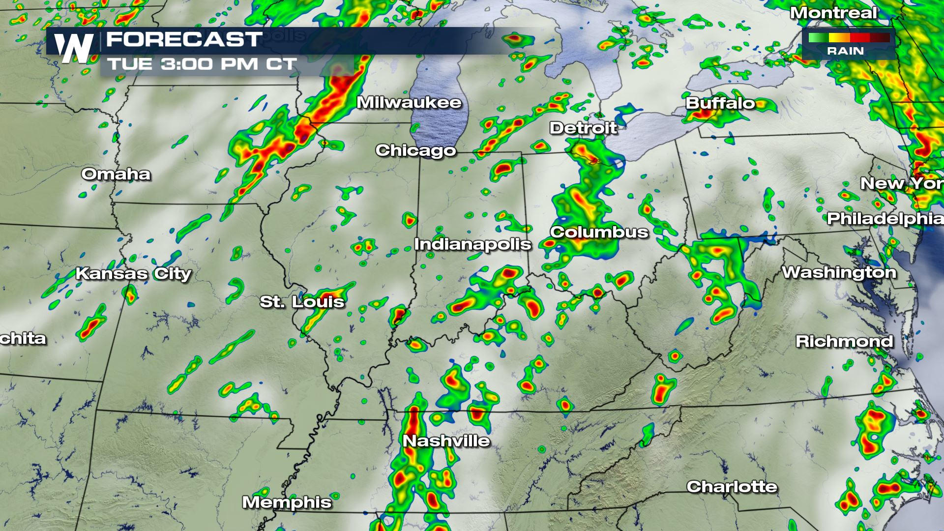
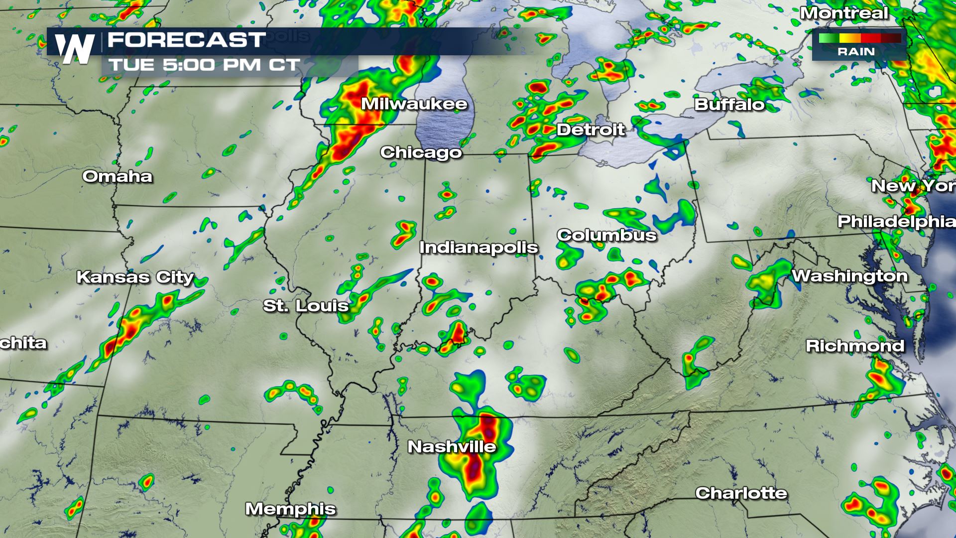 Showers and storms will be in the forecast all day, but the severe weather risk will be more likely for the afternoon and evening hours. Keep checking WeatherNation for the very latest updates.
Severe Outlook
A good portion of the Ohio Valley and Great lakes will see the highest chance of severe weather today. Cities included in today's severe weather risk are St. Louis, Chicago, Milwaukee and Detroit.
Severe Risks
All modes of severe weather will be in play today with the damaging winds and tornado risks being the biggest threats to watch out for later today.
Forecast
Showers and storms will be in the forecast all day, but the severe weather risk will be more likely for the afternoon and evening hours. Keep checking WeatherNation for the very latest updates.All Weather News
More
Severe Storms Target the Midwest to the Northeast
UPPER MIDWEST - Dangerous tornadoes have alre
28 Jul 2026 1:45 AM

Tropics: Fausto Heads towards Hawaii; Genevieve Cat 4 Hurricane
PacificHurricane Fausto continues to track we
28 Jul 2026 1:45 AM


Southeast Flood Risk Lingers Near Stalled Front
A stalled boundary over the Southeast will ke
25 Jul 2026 10:55 AM

Another Round of Storms Targets the Northeast
Tuesday brought severe weather again across p
23 Jul 2026 1:15 AM

Another Round of Severe Weather for the Upper Midwest and Great Lakes
The upper-level low train continues to keep t
21 Jul 2026 1:45 AM