Easter Sunday Midwest & Ohio Valley Severe
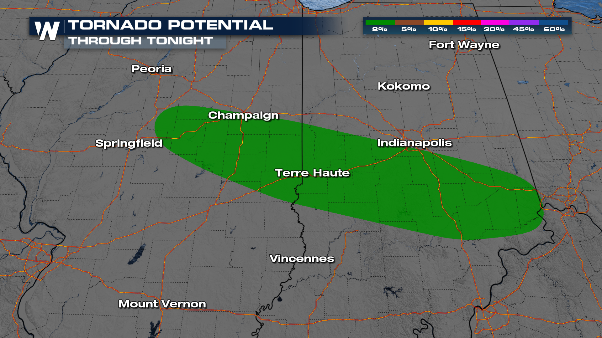
The Storm Prediction Center has maintained a SLIGHT (level 2 out of 5) risk for severe thunderstorms for portions of the Midwest including Illinois, and Indiana, and a MARGINAL (level 1 out of 5) risk surrounding these states and through the Middle Atlantic. A warm front will be mostly responsible for a few strong storms that may produce large hail and damaging winds. There is an isolated chance for a few tornadoes tonight and into the overnight hours in Illinois and Indiana.
 The focus of the storms through tonight and overnight will be the Midwest and Ohio Valley as a warm front brings in instability and the threat of strong to severe thunderstorms. These storms will continue to move east by the morning. It will be a wet commute for some, expect to wake up with some heavy rain and a few thunderstorms for your morning drive in places like Ohio, Pennsylvania, West Virginia, and Washington.
Through Monday morning, pockets of 2" of rain can be found in the Ohio Valley, and as we follow this system through we could see between 2-4" of rain with isolated totals up to 5". This is why a flood watch has been issued through Tuesday.