Severe Storms Recorded In The Northeast Over The Weekend
Top Stories
13 Nov 2021 4:30 PM
Strong and severe storms rolled through the northeast Saturday afternoon and evening, with multiple tornado warnings, and severe thunderstorm warnings. Numerous reports of wind damage and hail came in from Long Island on Saturday evening.
https://twitter.com/WeatherNation/status/1459656067399315457
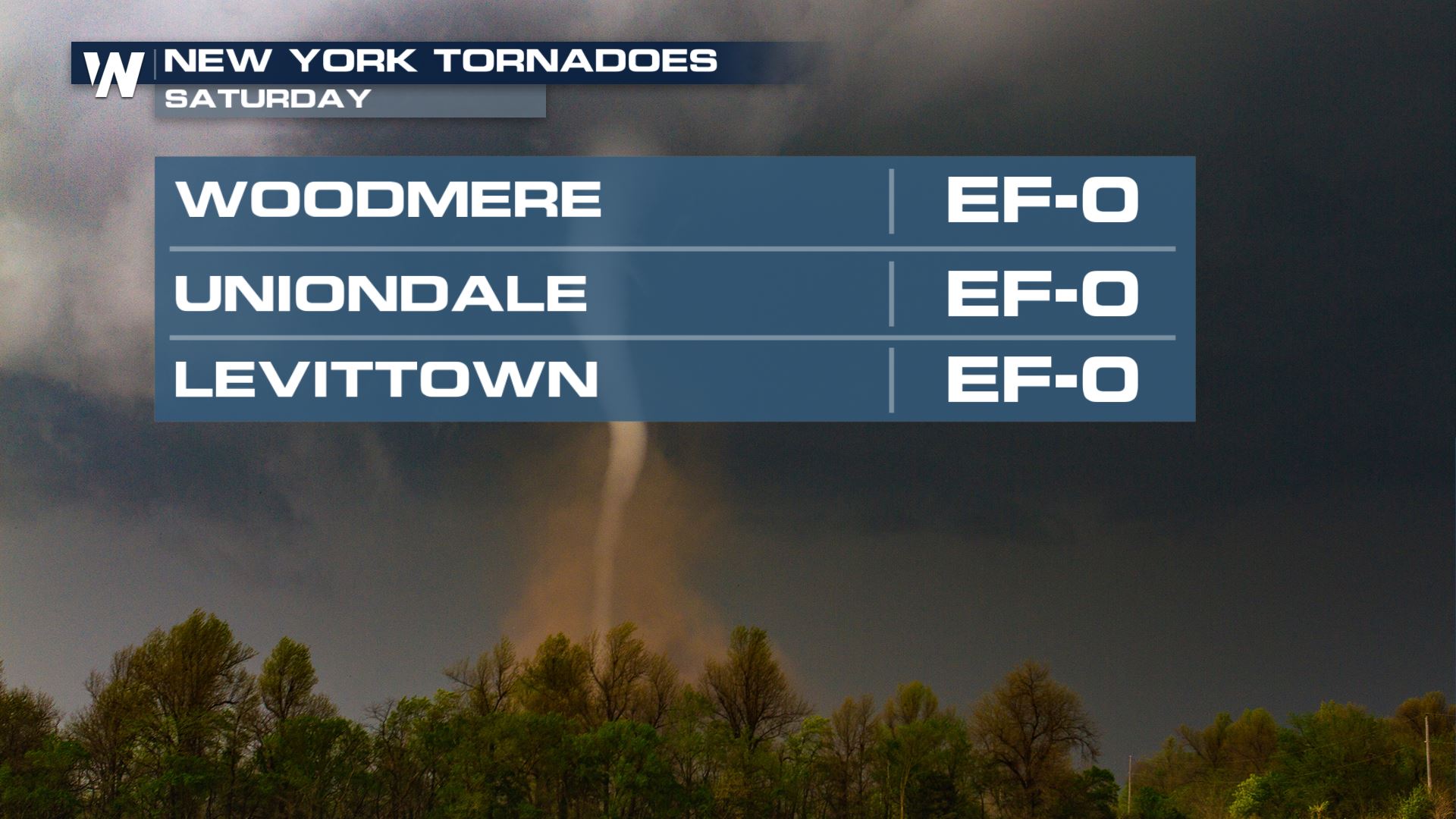
Three tornadoes were confirmed in New York Saturday. All three rated at an EF-0 with winds up to 85 mph.
 Saturday night, the low pressure center will move away from New England, but continue to pull in a cold breeze. The cold breeze will likely help generate some scattered rain and snow showers, enhanced by the warmer water temperatures of the Great Lakes.
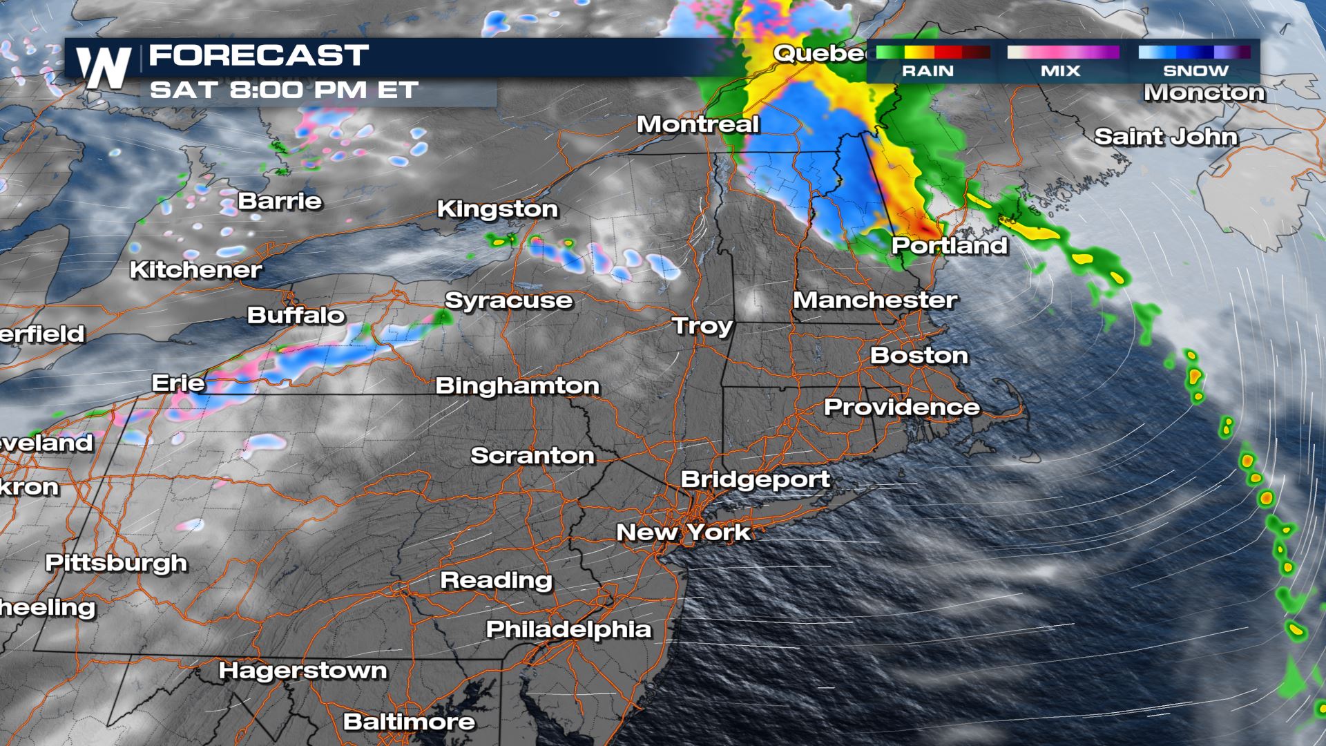
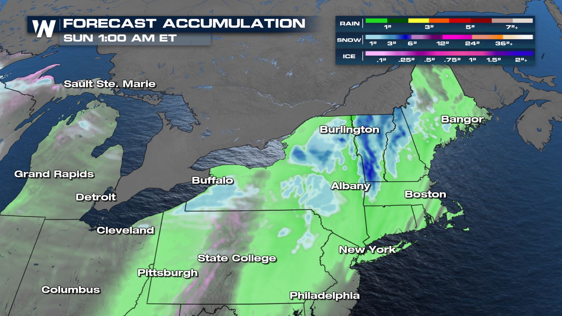
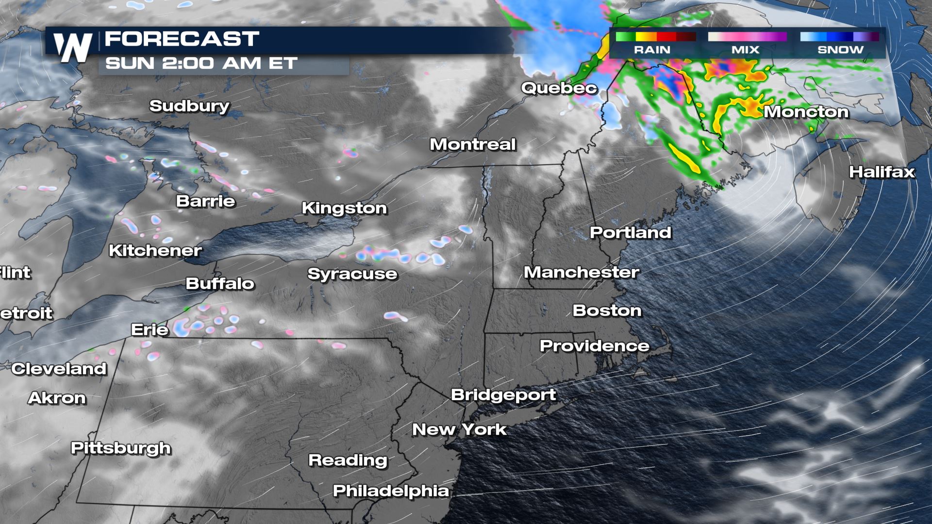 Locally heavy rain will be possible for the Adirondack mountains and New England with 1-2" of rainfall possible. Meanwhile, we will see 1-4" of snowfall for higher elevations in the northeast. Lake effect snow bands also have similar snowfall totals through the start of the weekend. On Sunday, our next clipper system arrives to the northern half of the country, leading to additional accumulation. For more on the next snow potential, read here.
 For more updates on this forecast, you can always catch our Eastern Regional forecast which plays at :10 past the hour every single hour.
 Saturday night, the low pressure center will move away from New England, but continue to pull in a cold breeze. The cold breeze will likely help generate some scattered rain and snow showers, enhanced by the warmer water temperatures of the Great Lakes.

 Locally heavy rain will be possible for the Adirondack mountains and New England with 1-2" of rainfall possible. Meanwhile, we will see 1-4" of snowfall for higher elevations in the northeast. Lake effect snow bands also have similar snowfall totals through the start of the weekend. On Sunday, our next clipper system arrives to the northern half of the country, leading to additional accumulation. For more on the next snow potential, read here.
 For more updates on this forecast, you can always catch our Eastern Regional forecast which plays at :10 past the hour every single hour.
All Weather News
More