Heavy Rain Threat Slides East
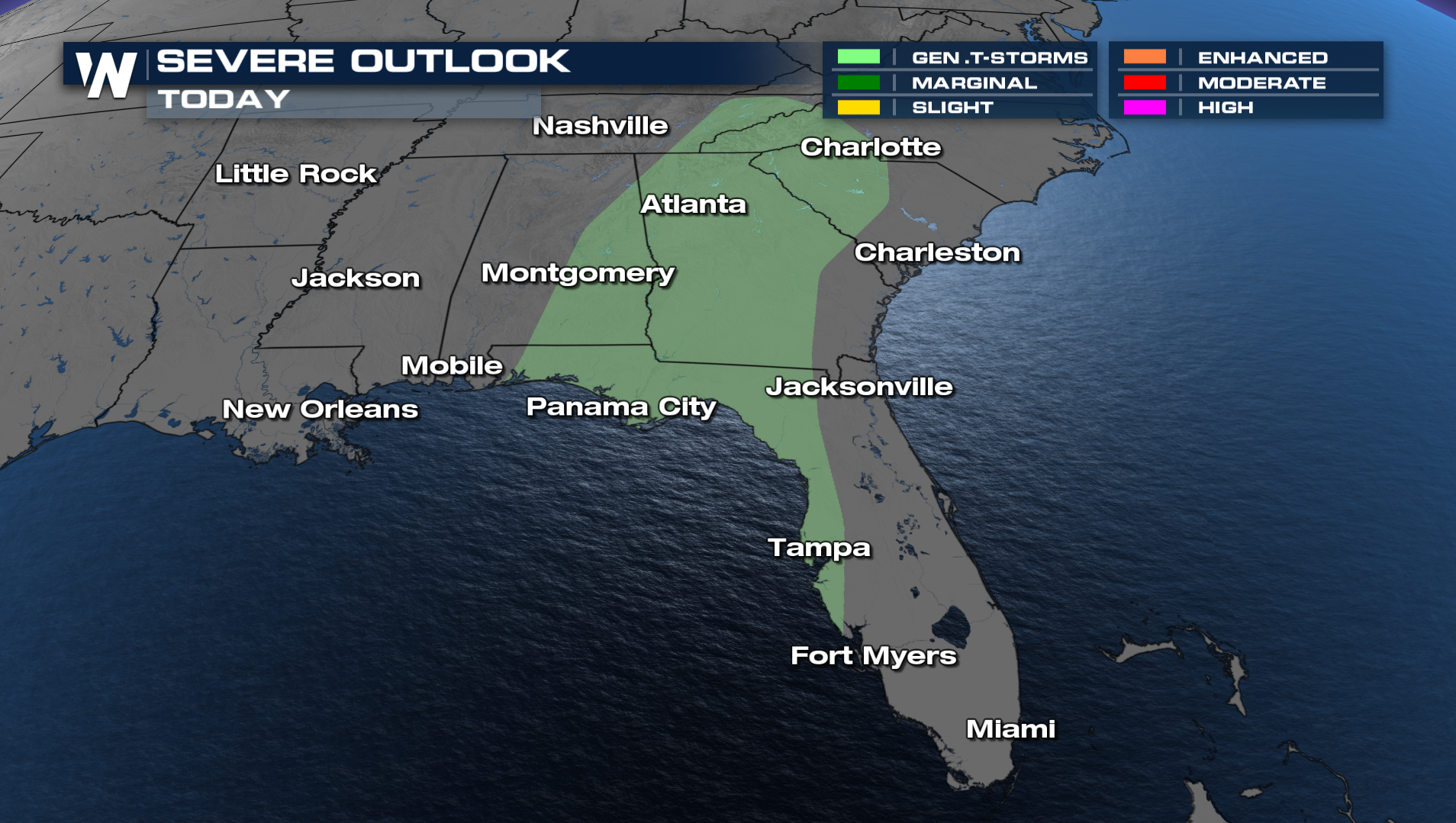
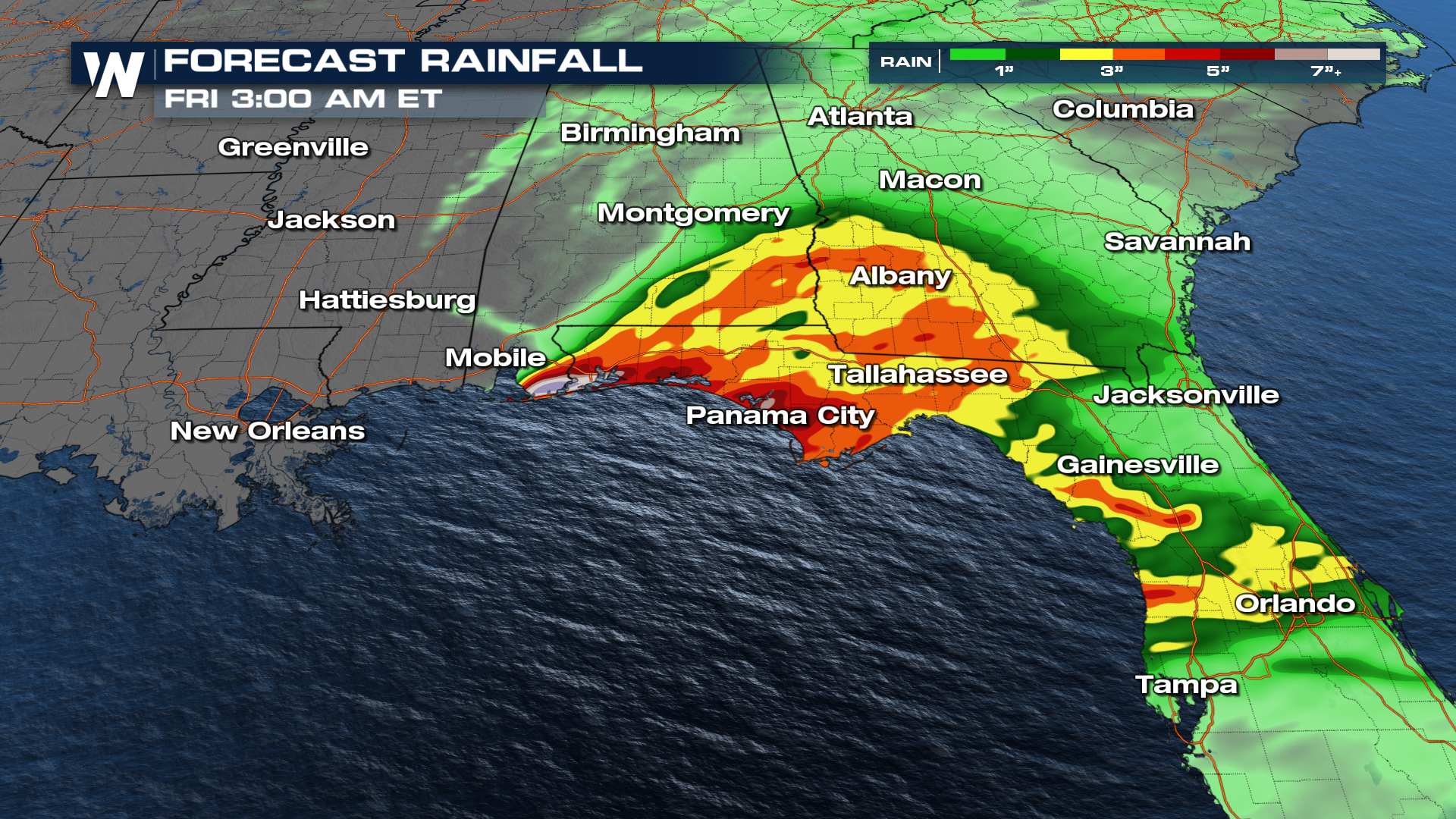
What's leftover of the moisture from (what was) Sara has drifted across the Gulf of Mexico. That will meet up with a frontal boundary that is sliding east across the I-10 towards the middle of this week. Though we saw a chance of strong storms early on in the day, we have lost a lot of instability for the southeast, and therefore the Storm Prediction Center has downgraded the severe threat. The severe threat has been dropped, and we now see a general risk of thunderstorms today through the southeast. Heavy rainfall will still be a concern for this portion of the country. As the frontal boundary moves to the east, heavy rainfall can be embedded within some of the storms. On top of already saturated soils, an additional 2 to 3 inches could overwhelm the grounds. The best bet for any problems like this will be in southern Alabama and the panhandle of Florida
 Stay with WeatherNation as we continue to update this potential November severe thunderstorm setup. Catch your Central Regional Forecast at :30 past the hour, every hour.