Severe Weather Possible in the High Plains and Upper Midwest
Special Stories
11 Sep 2018 10:58 AM
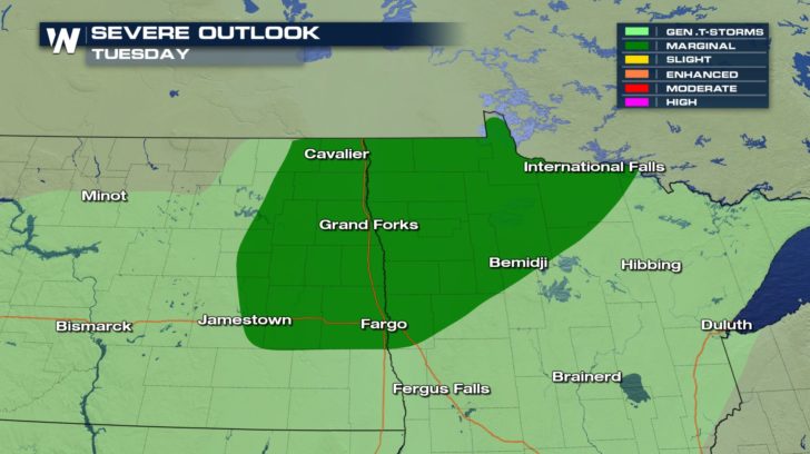
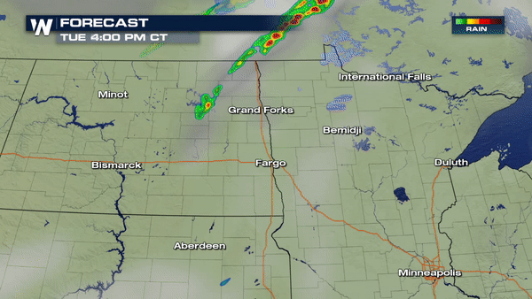
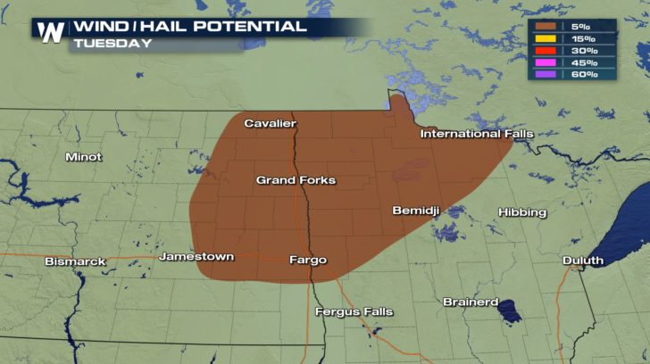 Severe weather is possible in North Dakota and Minnesota as a cold front moves in from Canada. There will be a possibility of seeing damaging winds around 58 mph and hail up to an inch in diameter. The good news is that there is no tornado risk for today!
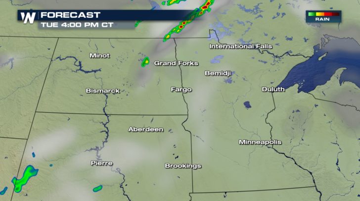
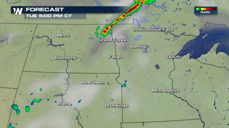
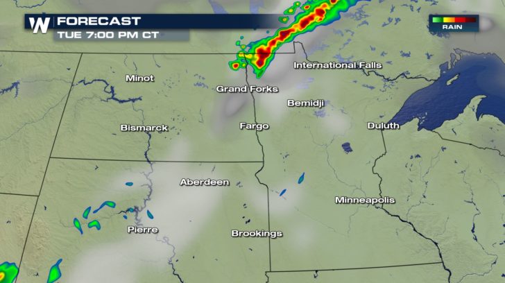 Storms will be short-lived. They will start up around 4 P.M and continue to around 8 P.M before gradually dissipating. Nonetheless, stay weather aware throughout those hours due to the chance of seeing damaging winds and hail.
All Weather News
More
Wildfire Outbreak in the Pacific Northwest
SPOKANE, WA - On Saturday, August 1st, the Ol
3 Aug 2026 1:55 AM

More Storms for the East Through Monday
A low-pressure system that moved through the
3 Aug 2026 1:50 AM


After Reaching Category 5, Genevieve Weakens in the Pacific
PacificGenevieve formed last Friday south of
3 Aug 2026 12:30 AM

Flooding, Severe Storms Target the Midwest Again
After an active week of storms across the nor
1 Aug 2026 1:40 AM

Flooding Risk Increases as Heavy Rain Targets the Tri-State Area
Tuesday, heavy rainfall moved across the Nort
30 Jul 2026 12:25 AM

Severe Weather: Energy From the Midwest Now in the Southeast
UPPER MIDWEST - Through Monday, dangerous tor
29 Jul 2026 10:30 PM