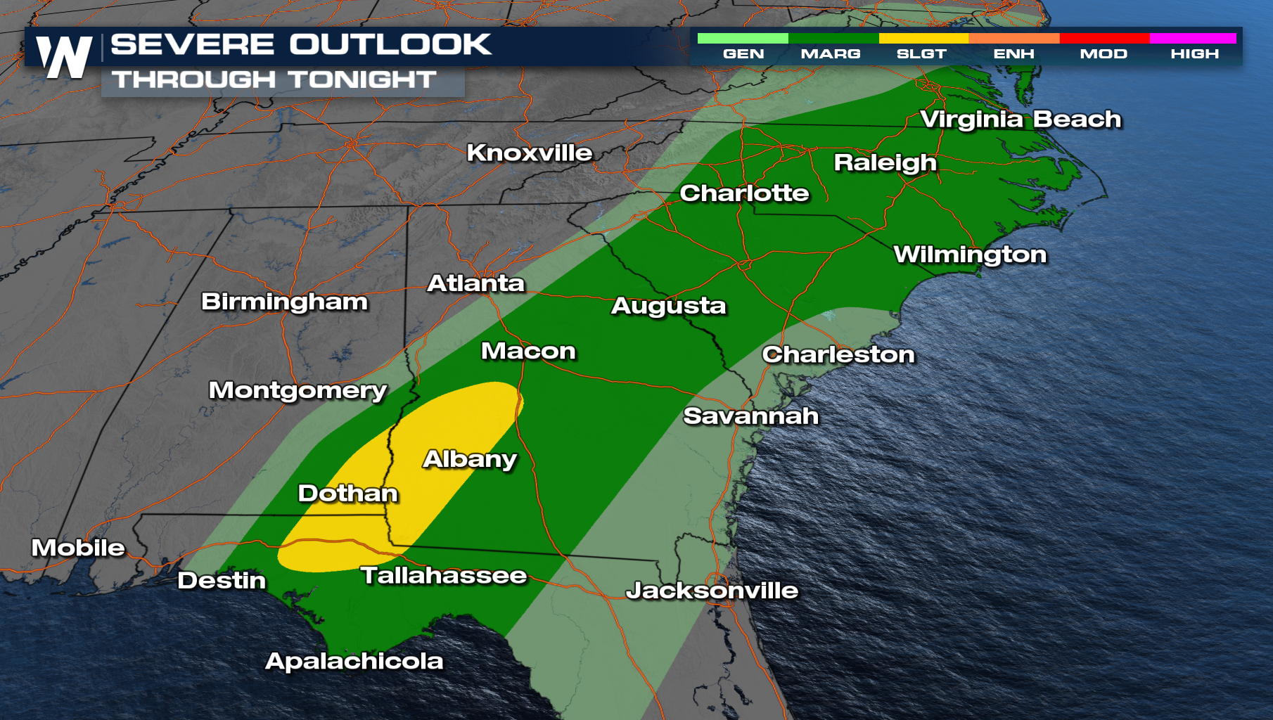
Severe Threat Continues in the Deep South
A strong upper-level low will move through the south early this week bringing the widespread severe weather threat along with it. This follows powerful storms in the Deep South on Monday with multiple confirmed tornadoes in Louisiana and Mississippi. Some of the hardest hit communities were Rapides Parish LA (near the town of Afeman), Ferriday LA , Madison County MS (near Canton), Hazlehurst MS, Harrisville MS, and Avoyelles Parish LA.
The same system that produced severe weather on Monday , is moving through the Southeast bringing a continued threat of tornadoes and strong winds. Earlier on Tuesday, a confirmed tornado did touchdown southwest of Dothan, AL. For the overnight, a severe threat continues but anything that does develop will be very isolated from South Georgia into the Carolinas. The main threats will be damaging winds and a tornado but instability continues to lack!
 Heavy rain will also be a concern, especially through northern Alabama, Georgia and western SC/NC. The same system will push east on Wednesday with widespread heavy rain for northern Georgia and the Carolinas, with the potential for a few severe storms in coastal North Carolina.
Before the front exits, a few damaging wind gusts will be possible in far eastern North Carolina early Wednesday.
