Mid-South Cleaning up After Tornadoes, Flooding Wednesday

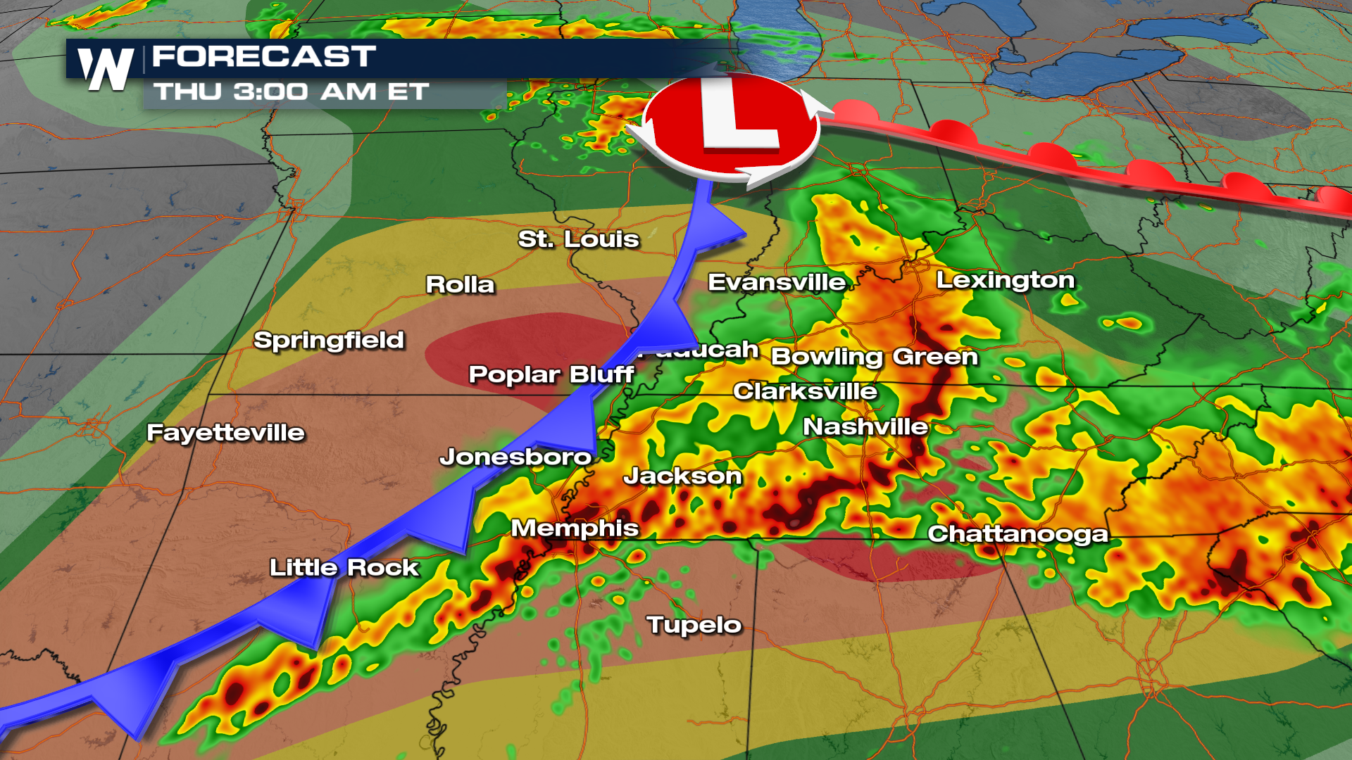
The primary concern from Wednesday's storms was damaging winds and tornadoes, unfortunately, both of which occurred over the populated mid-South, hitting the southern St. Louis suburbs and communities both north and south of Nashville. Multiple, confirmed tornadoes hit the mid-South on Wednesday creating widespread damage and destruction. The National Weather Service in Nashville confirmed an EF-3 tornado in Columbia, south of the city.
There was a tornado emergency issued along I-65 south of Nashville for the tornado seen at the top of the page. The county declared it a "mass casualty" event following the storm meaning that massive amounts of resources were needed to rescue people from trapped and collapsed buildings. Our field crews were on the scene soon after the storm showing roofs ripped off homes and major trees collapsed.
Earlier in the afternoon, Clarksville, TN was hit by multiple tornadoes. This area of Tennesee is still recovering from an EF-3 that killed nine in December of 2023, less than 3 months ago. The tornado that hit the south side of the city just before 4 PM on Wednesday was responsible for additional damage in communities north of Nashville.
There was an elevated threat of tornadoes, hail, and damaging winds. The "significant" severe threat included Nashville, Huntsville, Jonesboro and Fort Smith for EF-2 or stronger tornadoes. Late Wednesday night the city of Huntsville, AL was at threat of multiple tornadoes, just minutes apart. We are waiting to hear more about damage in the northern Alabama city.
Not only was severe weather a threat but also flash flooding - the weather balloon launch in Nashville on Wednesday showed about twice as much moisture throughout the atmosphere vs normal (about 1.5" of precipitable water). With a few rounds of storms over some of the same locations, grounds became saturated with upwards of 4" of rain in 24 hours. A flash flood emergency was issued in Springfield, TN along the Kentucky border due to the fast water rise.
Wednesday was another extremely active severe weather day with multiple confirmed tornadoes spread across the Midwest and Midsouth. There was a MODERATE risk from the Storm Prediction Center (SPC) which is a level 4 out of 5 threat. Stay with WeatherNation as we bring you clean up details and storm surveys in the coming days along with the continued severe weather threat in the South.