Southwest Snow Moves Into Panhandle Region
Special Stories
14 Apr 2020 6:00 AM
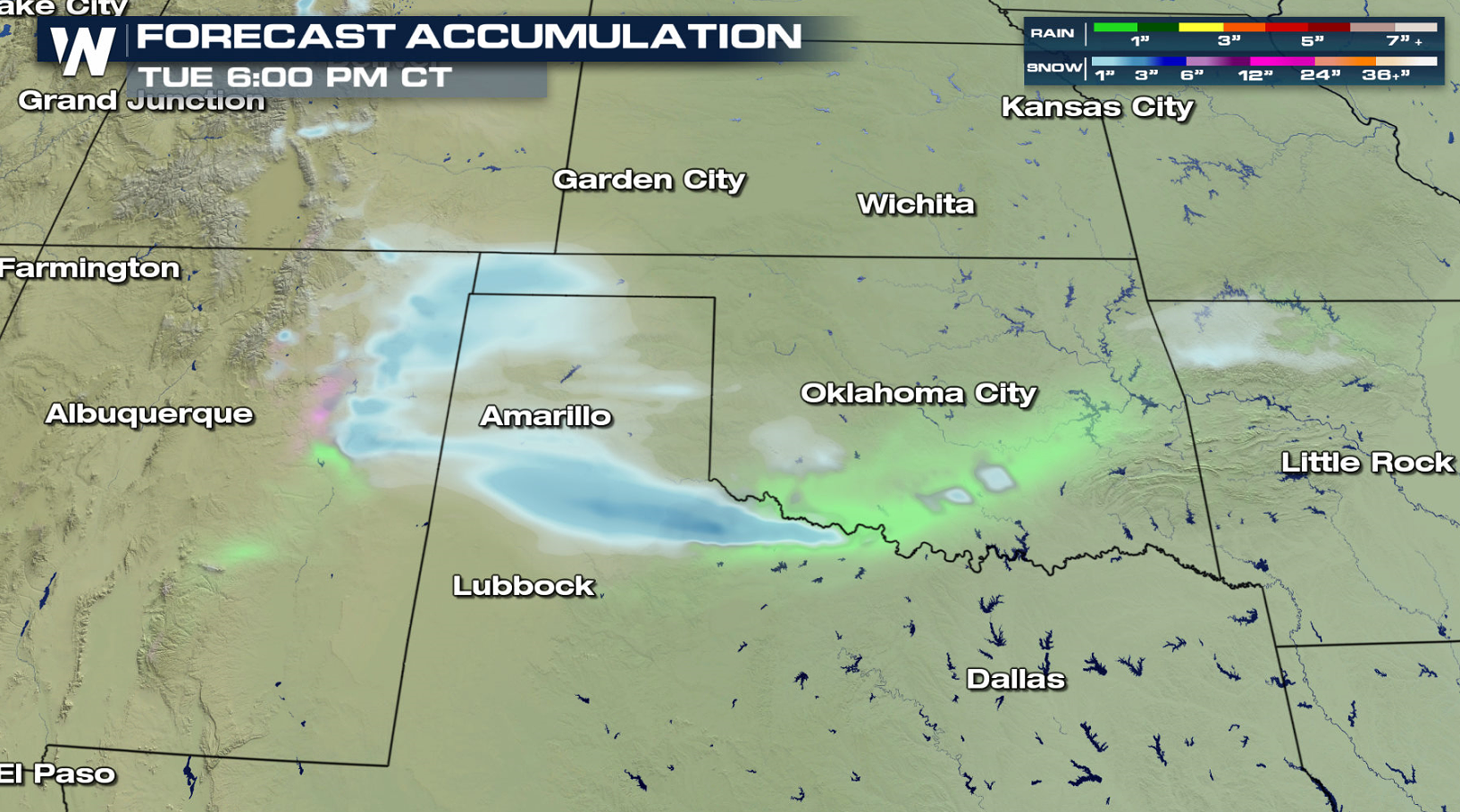
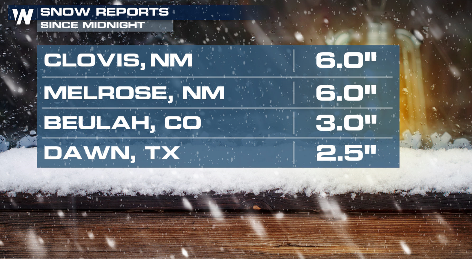 A wave of energy from the Pacific Northwest pushed into the Southern Plains Monday night, bringing areas of rain and snow to the South Central U.S. Up to 6" has already fallen in parts of the Texas, New Mexico, and Colorado. Winter weather advisories remain in effect for the Oklahoma and Texas Panhandles this morning (Tuesday).
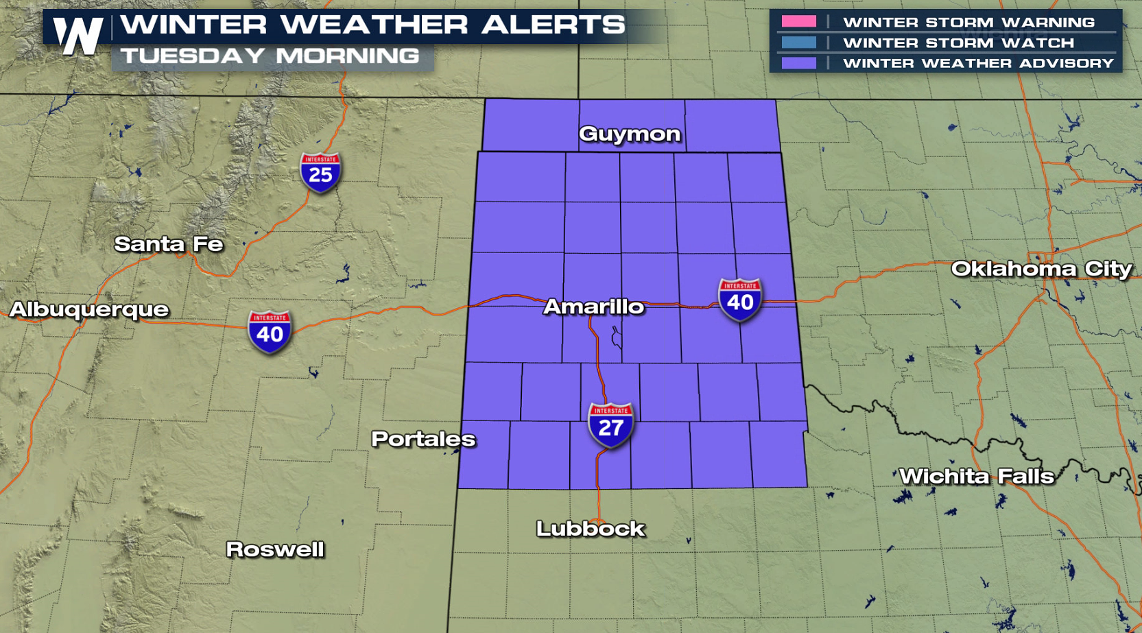 The precipitation started Monday night in the high country and I-25 corridor of Colorado and New Mexico. With the storm pulling east, snow has been pushing into the Texas and Oklahoma Panhandles and will continue through this morning (Tuesday). It will be a quick round of snow, clearing out by the afternoon.
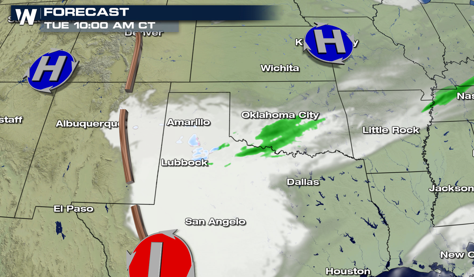
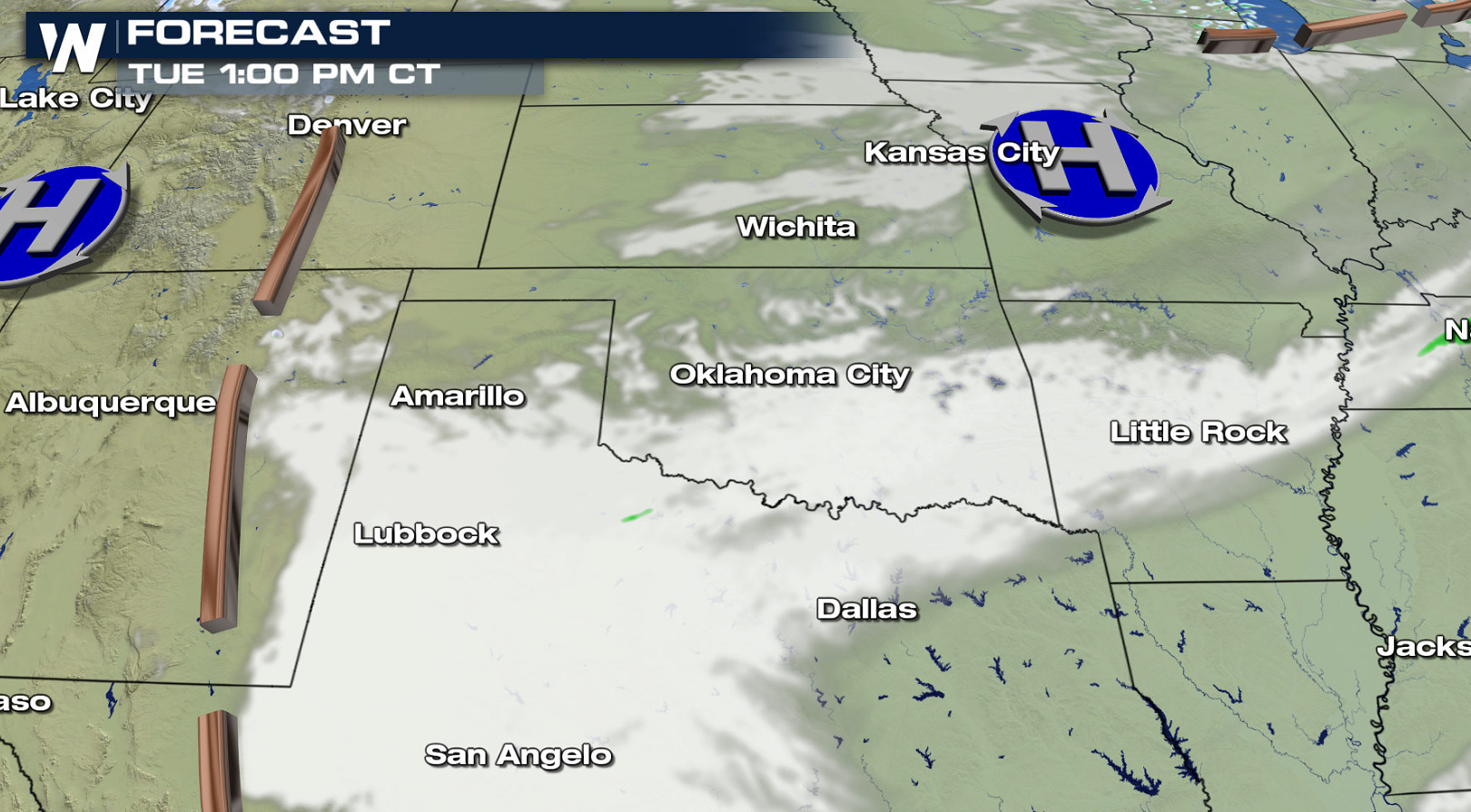 Additional accumulations of a couple of inches is likely this morning (Tuesday) before the snow comes to an end.
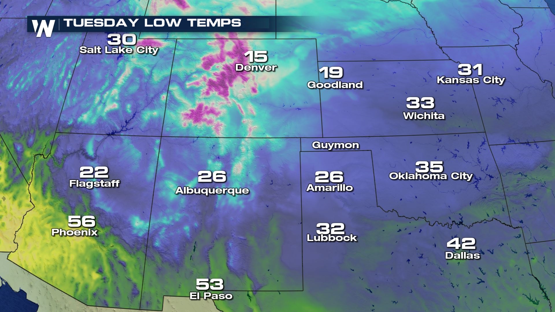
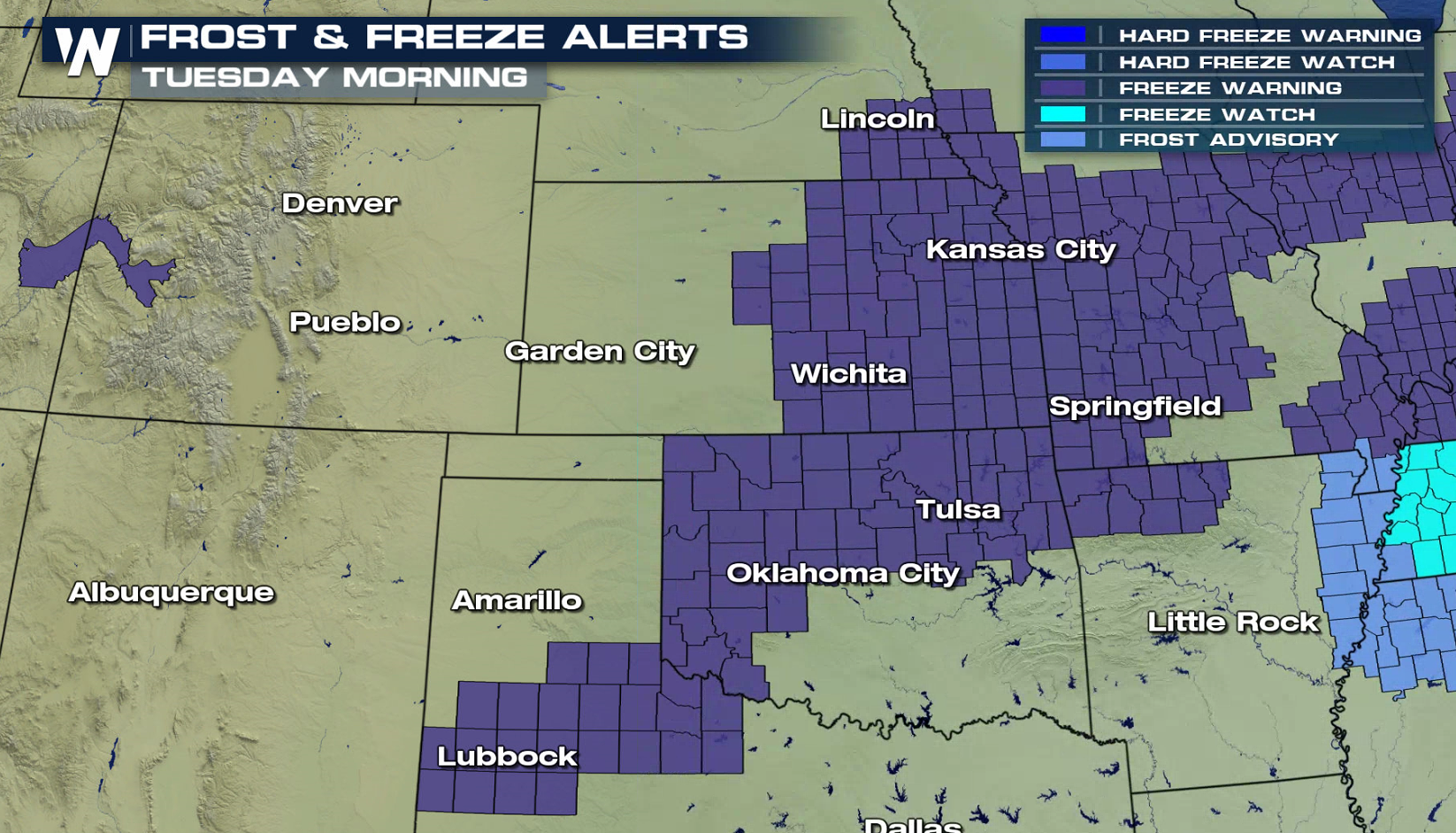
 Temperatures this morning (Tuesday) will be around the freezing mark in the region. That will help dictate precipitation type. Cities as far south as Lubbock could drop back to the 32 degree mark. Freeze warnings are in place between Omaha, Kansas City and Wichita.
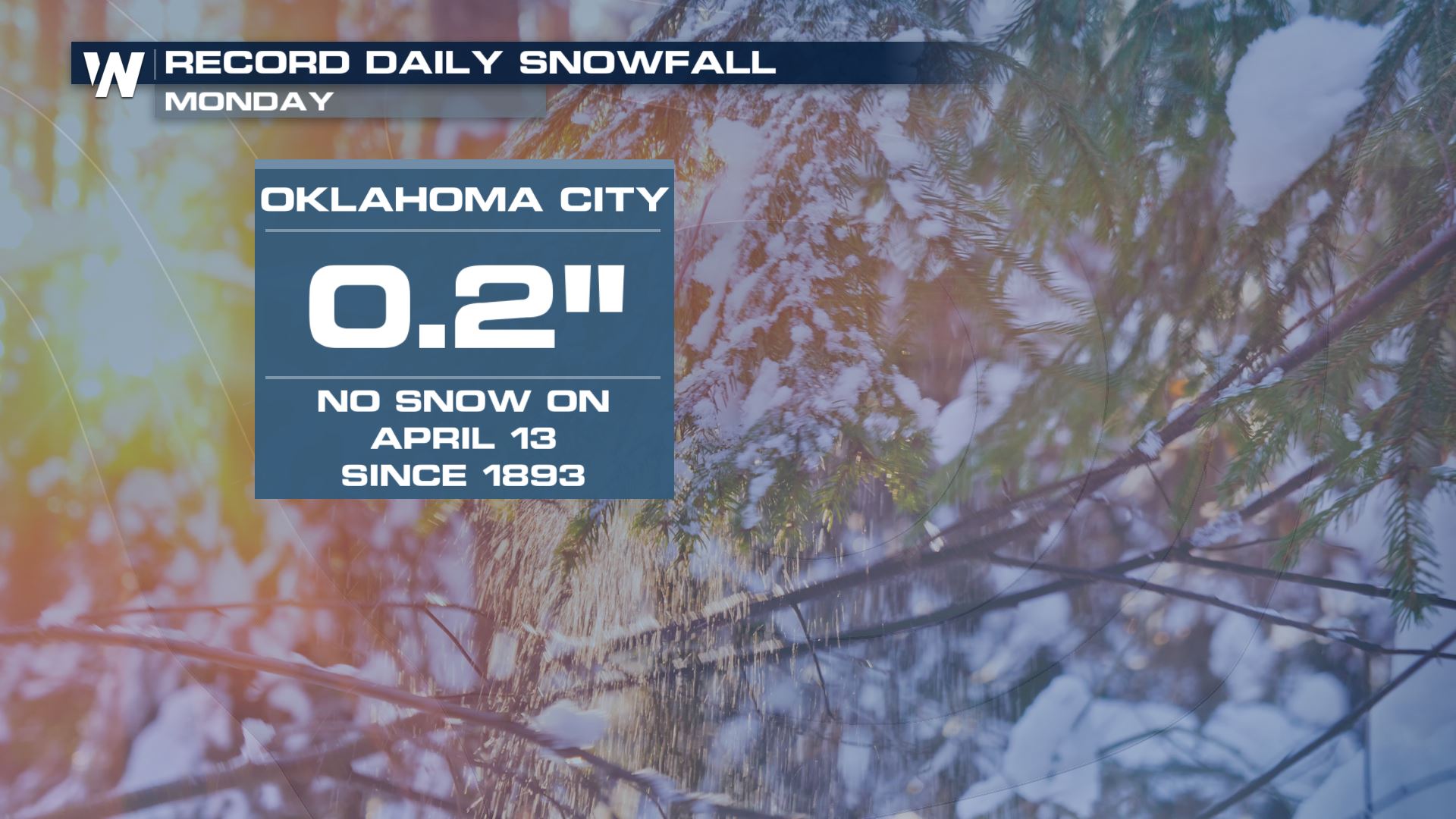
 In Oklahoma City, 0.2 inches of snow fell on Monday, making it the first measurable snowfall in the city since 1893.
All Weather News
More