Over a Foot of Spring Snow in the Great Lakes, Appalachia
Heavy snow has been falling since Tuesday night in the Great Lakes - up over a foot for parts of the U.P.! Snow continues into Thursday with the heaviest snow will be in the UP of Michigan where lake enhancement could help pile up close to a foot near Marquette where blizzard warnings were in effect at one point. A few winter weather alerts linger through Thursday morning for the Upper Peninsula of Michigan.
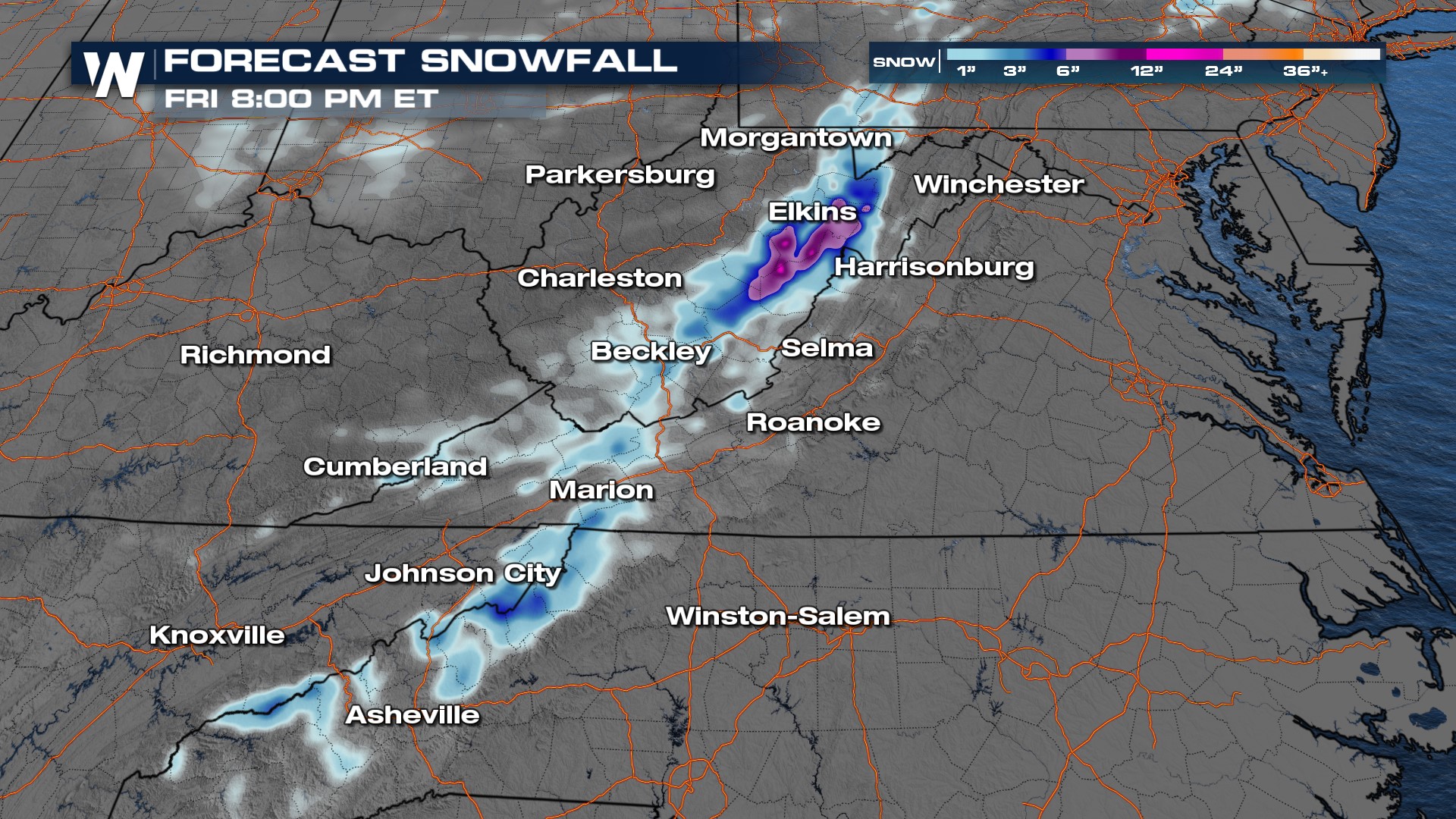
With the low-pressure system moving into the Northeast, we don't expect the explosive snowfall rates we had Tuesday night and Wednesday. Snow pushes into the Appalachians Thursday and Friday with light accumulation expected in West Virginia and North Carolina where winter alerts are in effect.
Snowfall accumulation may reach up to 4-8" in portions of West Virginia through Thursday and Friday with the help of orographic lift. Portions of the Smokies and Blue Ridge mountains may receive upwards of 4" of snowfall.
