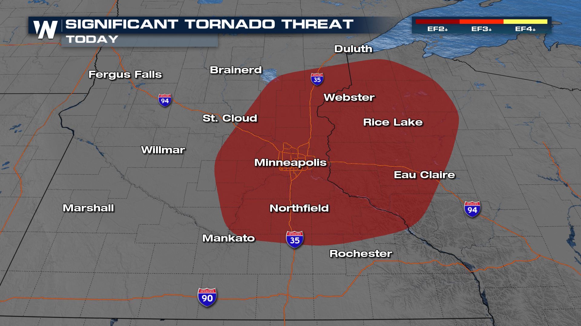
Tornado Threat Develops Around the Twin Cities Today

Things are getting active again after a long break from storms in the Midwest. A developing area of low pressure looks like it might have all of the ingredients to spin up a few tornadoes, some of which could even be strong later this afternoon.
SETUP
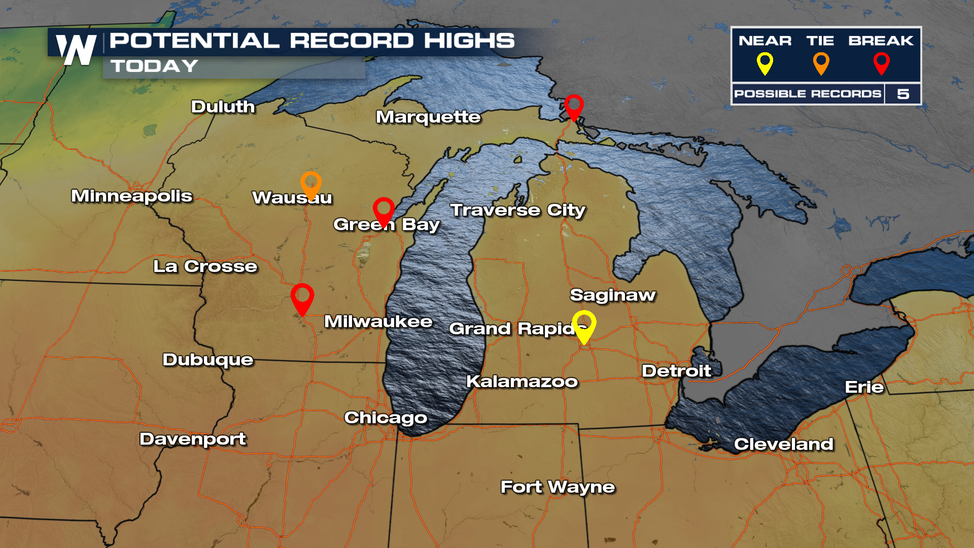
As this area of low pressure comes together, storms will ignite in the heat of the day. While it won't be Spring- or Summer-like energy to tap into, it looks like it will be just enough as temperatures make a run at record highs in Wisconsin.
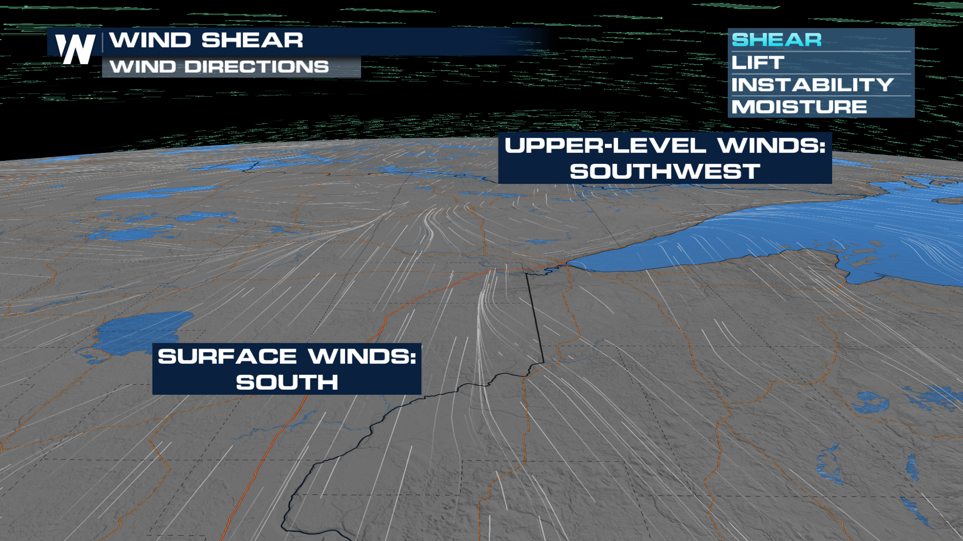
The biggest concerning ingredient is the amount of wind shear present, with winds at the surface out of the south or even southeast, turning to the southwest with height.
 Storms are expected to be organized shortly after firing in the afternoon. Because of the high amounts of shear, all modes of severe weather will be on the table. That includes the potential for an EF-2+ tornado. Have ways to get alerts as we go through our Wednesday.
Timing
Because we're expecting storms to fire near the surface low, they might go up and become severe in a hurry. Models have generally favored the 1-2 PM timeframe, lasting into the dinnertime hour.


