Pacific Tropics Staying Active
While Atlantic activity is taking a hiatus, the Eastern Pacific is in a period of high activity, with multiple tropical waves and Hurricane Gilma. Tropical Storm Hone has formed in the Central Pacific. Hawaii is expected to see impacts by Sunday. Whether those impacts are direct or not is still to be determined. Large swells, gusty winds, and heavy rain appear likely. MORE: https://www.weathernationtv.com/news/td-one-c-forms-impacts-for-hawaii-this-weekend
Eastern Pacific
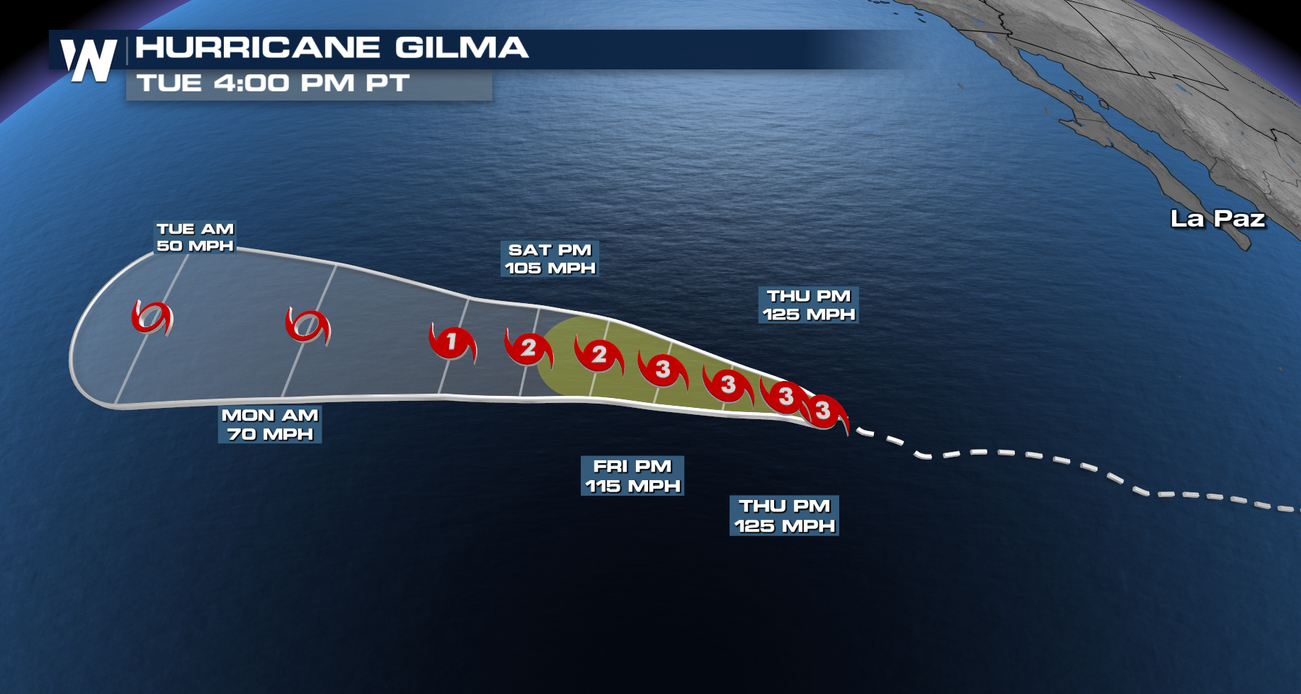
Hurricane Gilma formed on Sunday, August 18th, and is now a category 3 hurricane. Gilma rapidly intensified on August 21 to 110 mph, from 70 mph just 24 hours before. Rapid intensification happens when a storm strengthens at 35 mph in 24 hours, in Gilma's case. It is forecast to maintain it's strength for a day or two before starting a gradual weakening trend. Hawaii should also monitor the progress of Gilma into next week. The global American model, GFS, shows the parade of storms marching west through the Pacific. Behind Hone and Gilma, Invest 92-E is likely to organize into a Tropical Depression by the weekend.
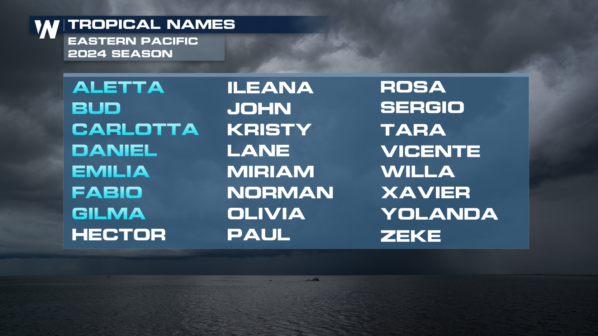
The next name to cross off the list for the Eastern Pacific will be Hector, followed by Ileana.
 Stay with WeatherNation for more on the tropical forecast.