Tropics Update: Areas of Interest in the Atlantic
Top Stories
8 Oct 2019 2:02 AM
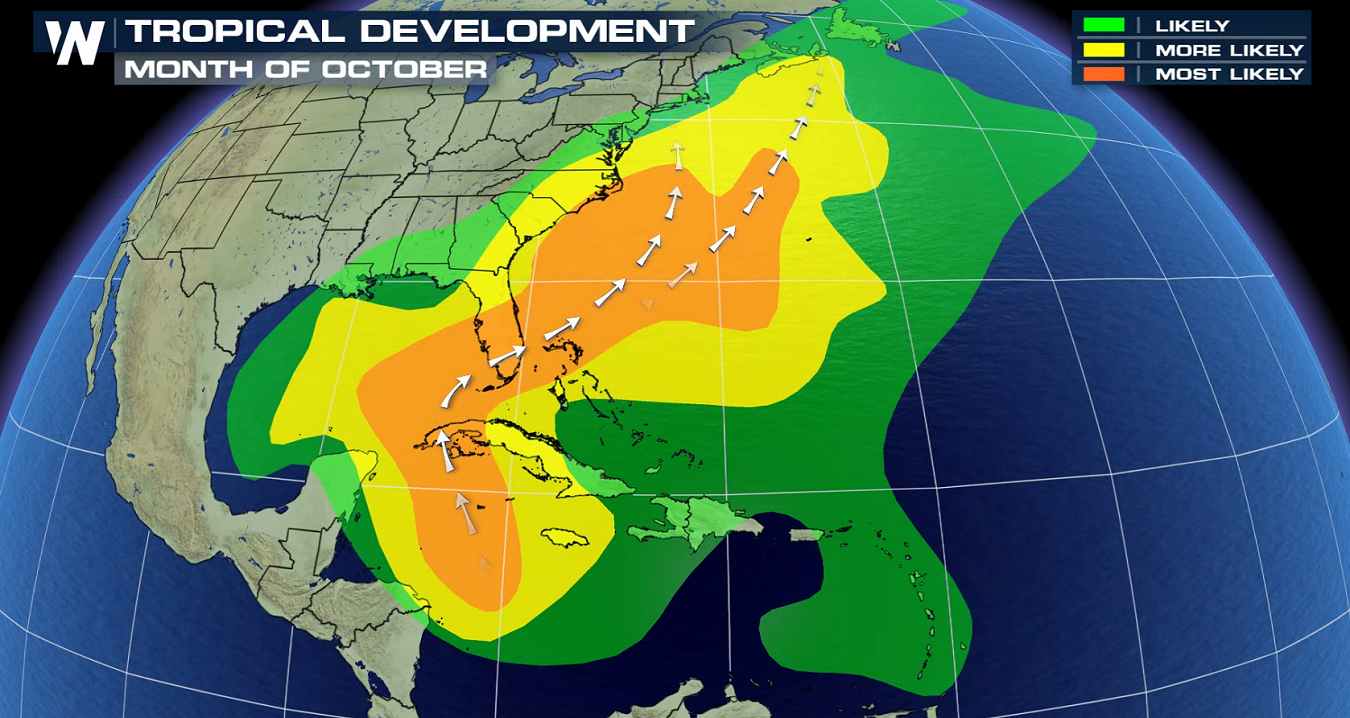
While the tropics remain largely quiet, there are areas of possible interest in the northern Atlantic this week. An area of low pressure (area shaded in orange on the map above) is expected to form in the northern Atlantic later this week, and that may develop into the Atlantic basin's next named storm. For now, though, it's expected to stay far away from land. The sysytem may develop as a subtropical or a tropical system, meaning it could be a bit of a hybrid storm. Either way, it'll be a system that Bermuda should closely monitor, as there's the possibility that some moisture from the system reaches the archipelago later this week.
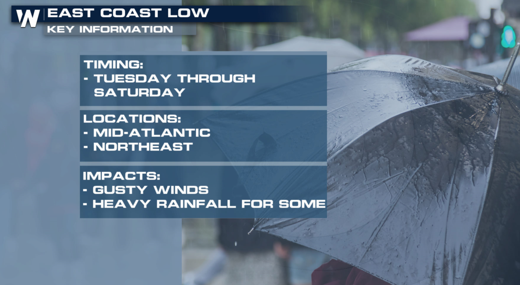
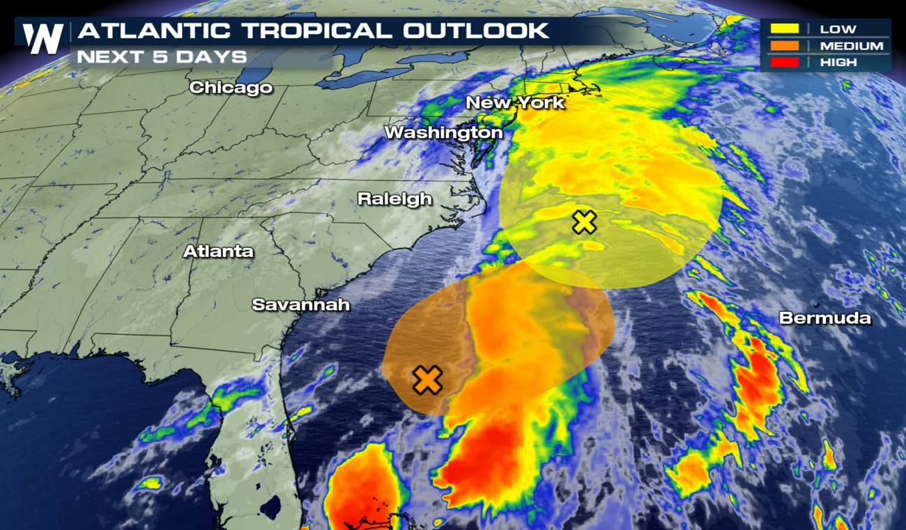 There's also a chance that an area of low pressure off the eastern seaboard of the United States acquires tropical or subtropical characteristics as it drifts north later this week (shaded in orange on the above map, east of Florida). This is expected to bring rain and gusty winds to the mid-Atlantic and the Northeast Tuesday night through Saturday.
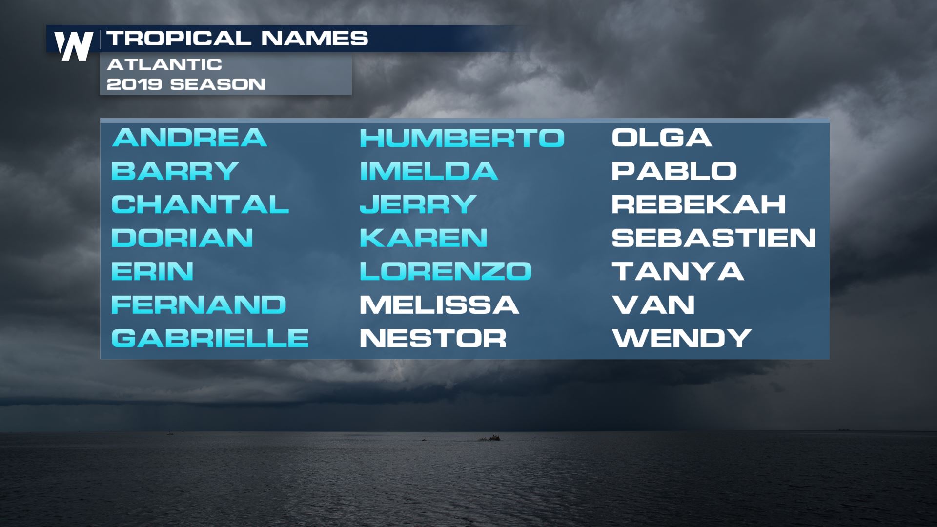
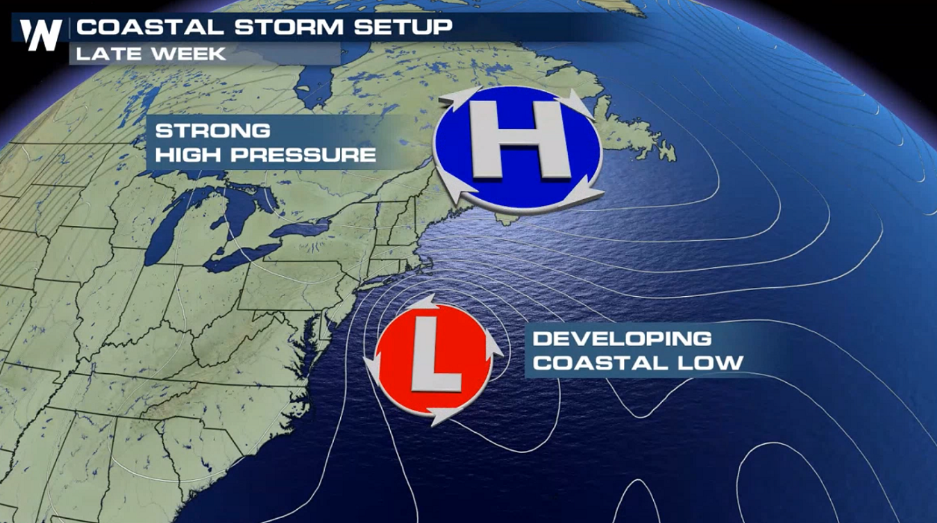 The storm will slowly move northward in the Atlantic Ocean through the week. If another named storm were to develop, it'd be named Melissa.
 Of course, early October is still well within the climatological peak of hurricane season. Hurricane Michael made landfall in mid-October last year, as a Category Make sure that you're prepared.
 For WeatherNation: Meteorologist Chris Bianchi
 There's also a chance that an area of low pressure off the eastern seaboard of the United States acquires tropical or subtropical characteristics as it drifts north later this week (shaded in orange on the above map, east of Florida). This is expected to bring rain and gusty winds to the mid-Atlantic and the Northeast Tuesday night through Saturday.

 The storm will slowly move northward in the Atlantic Ocean through the week. If another named storm were to develop, it'd be named Melissa.
 Of course, early October is still well within the climatological peak of hurricane season. Hurricane Michael made landfall in mid-October last year, as a Category Make sure that you're prepared.
 For WeatherNation: Meteorologist Chris Bianchi
All Weather News
More