Watching for Duluth's First Snow of the Season
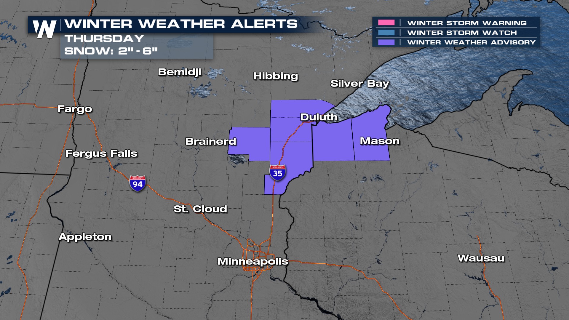
On average, cities like Duluth see their first snowfall of the season on October 21. This season, we have been off to a later start. The strong storms moving through the Plains on Wednesday will bring moisture up to Minnesota and Wisconsin. By Thursday morning, temperatures look cold enough to support snowfall! There are winter alerts in place for the potential of 2-6" of accumulation for portions of Minnesota and Wisconsin on Thursday.
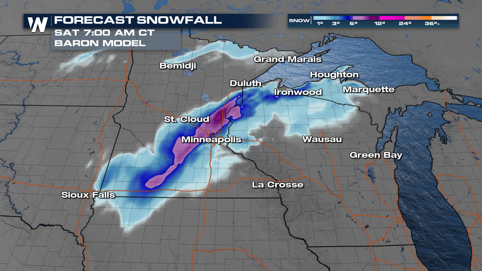
 There is still some uncertainty in totals. Some models show additional snowfall accumulation as far south as Sioux Falls, SD.

Precipitation will remain as rainfall until early Thursday morning. Snowfall potential will last through the afternoon and into the evening hours. Eventually, pushing into the UP of Michigan.
You can find more on your Central Regional Forecast, :30 past the hour.