Wildfire Season in Southern Plains after a Dry Winter
Leveraging high-definition images from GOES-East satellite, NOAA National Weather Service (NWS) forecasters are spotting newly ignited wildfires and sharing critical information with local first responders often before 911 calls.
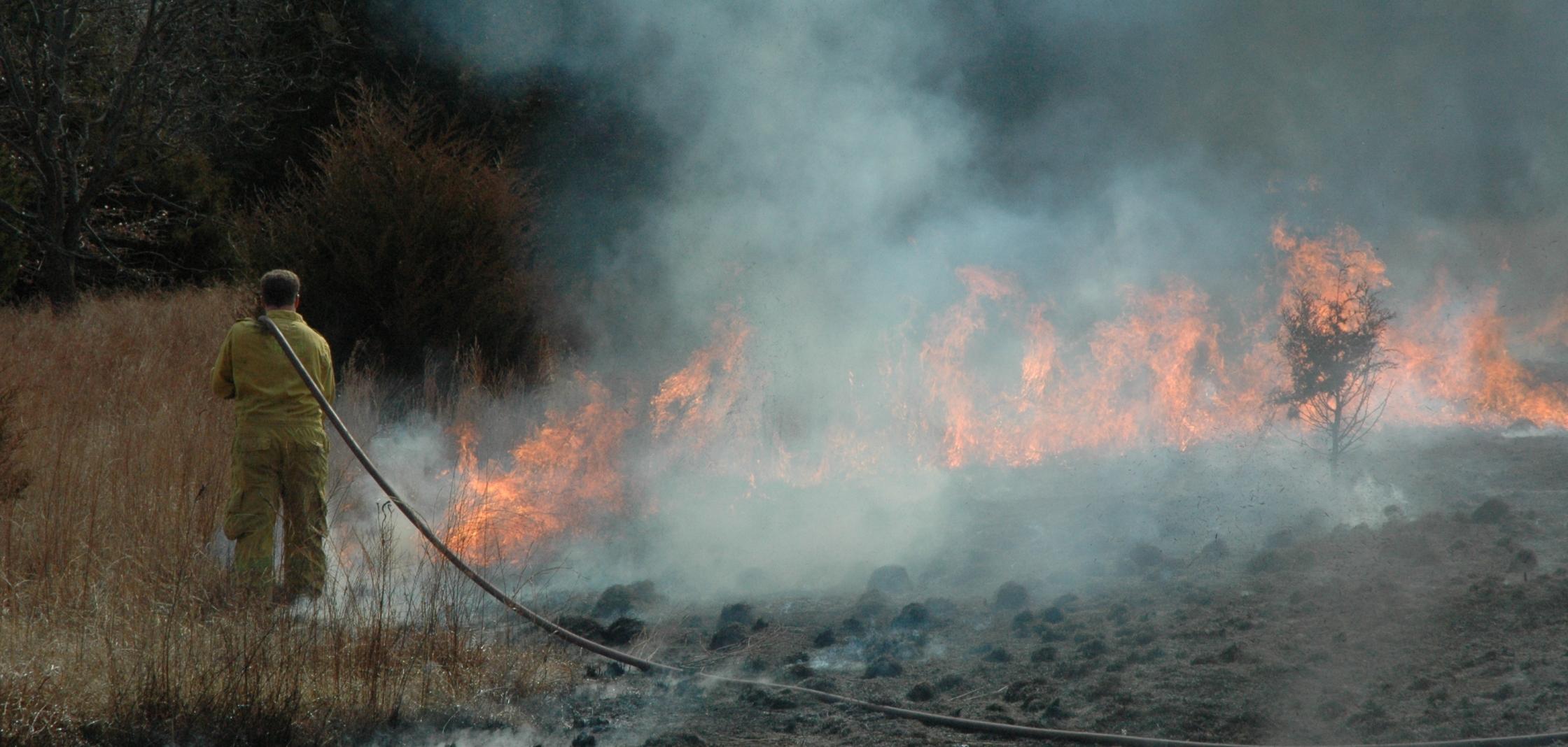
 [Huge fire burning in the distance from South Soncy Road, Amarillo,TX on Sunday. Credit: Cliff Daniel via Storyful/Facebook]
During periods of critical fire weather, forecasters closely monitor the satellite images for flickers of red and black pixels. When they see an area of concern, they can issue a hot spot notification to emergency managers and firefighters that includes GPS coordinates of each fire and a local forecast for the next 48 hours.
https://www.youtube.com/watch?time_continue=1&v=h11A0zbCrM0 [The NOAA GOES-16 satellite (now in operation as GOES-East) imagery of Kansas, Oklahoma and Texas during an eight-hour period between March 6-7, 2017, shows wildfire "hotspots" popping up and rapidly intensifying as the wind shifts. Leveraging these high-definition satellite images, NOAA National Weather Service forecasters are detecting newly ignited wildfires and sharing critical information with local first responders often before 911 calls are placed. (NOAA)]A life and a home saved with help from a satellite
On March 6, a fire crew in Oklahoma saw a notification and headed to the area in time to save an elderly woman’s home and farm from a large grassfire. Creek County Emergency Manager Covey Murray said the woman would have likely died without the hot spot notification.
Just a year ago, violent wildfires in the same area burned more than 1.2 million acres and killed seven people. During this outbreak, NWS meteorologists in Kansas, Oklahoma and Texas were among the first to use experimental data from GOES-16 (now in operation as GOES-East) to provide early notification of new fires and decision support on fire movement from deadly wind shift.
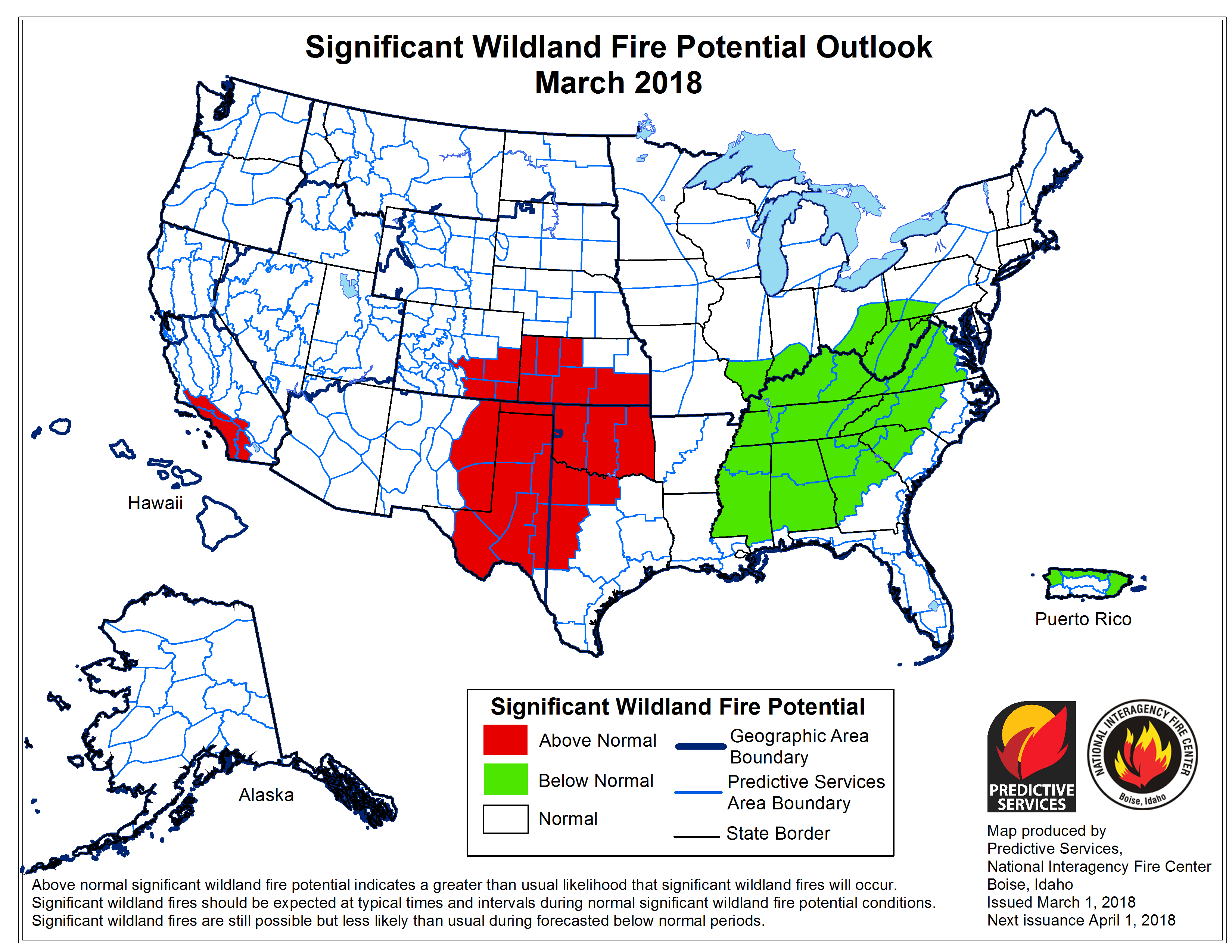
What’s the potential for an active wildfire season?
NOAA’s new capabilities to detect wildfires and alert authorities come just in time. Above normal temperatures in the Southwest and Southern Plains this spring coupled with persistent drought in the region will likely contribute to more wildfires.
Edited for WeatherNation by Meteorologist Mace Michaels


