Rain, Snow and Icy Areas for the Northwest
Special Stories
9 Dec 2020 6:30 AM
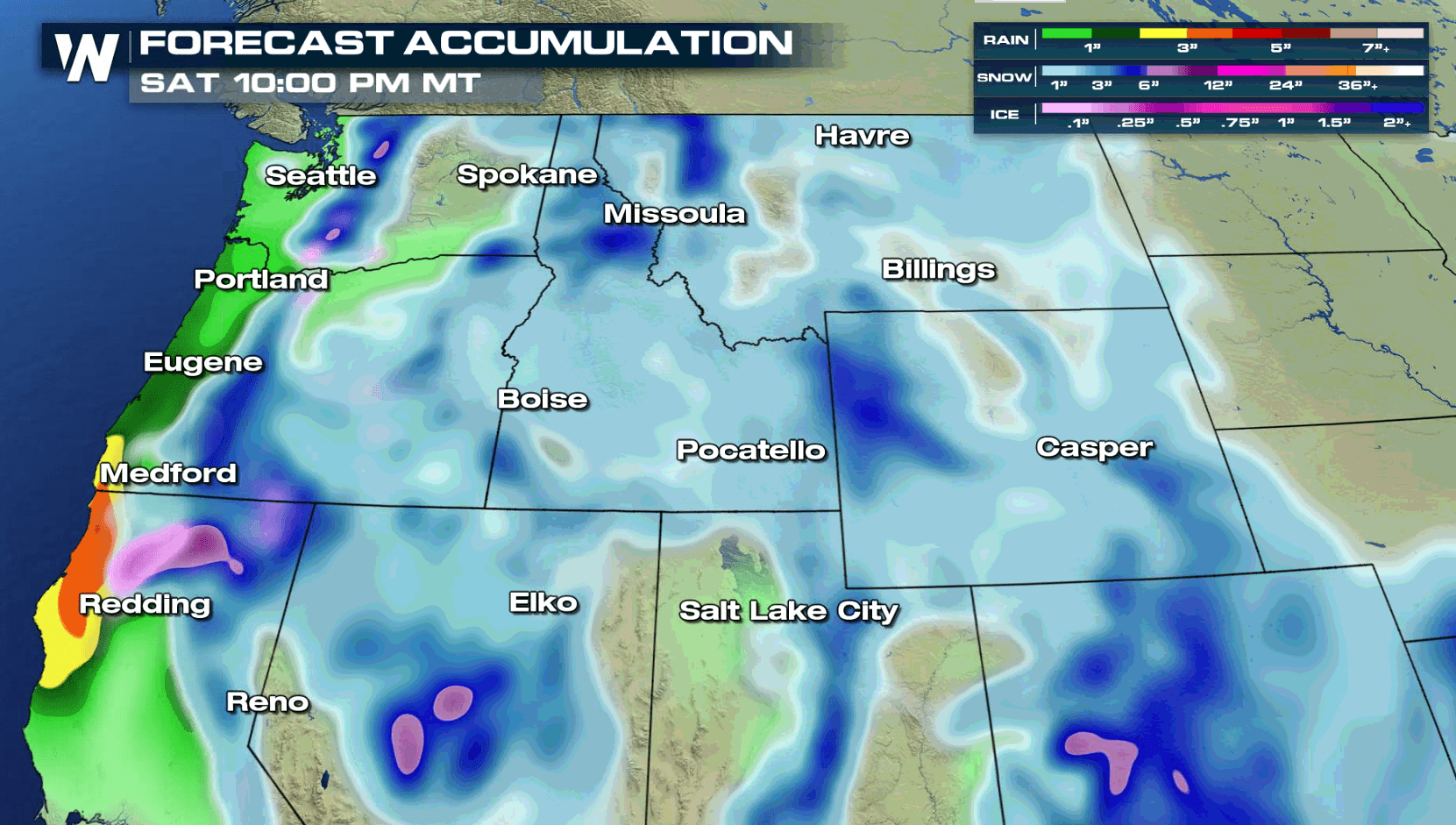
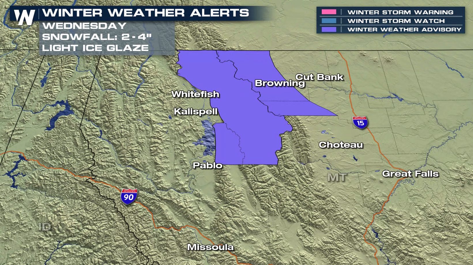
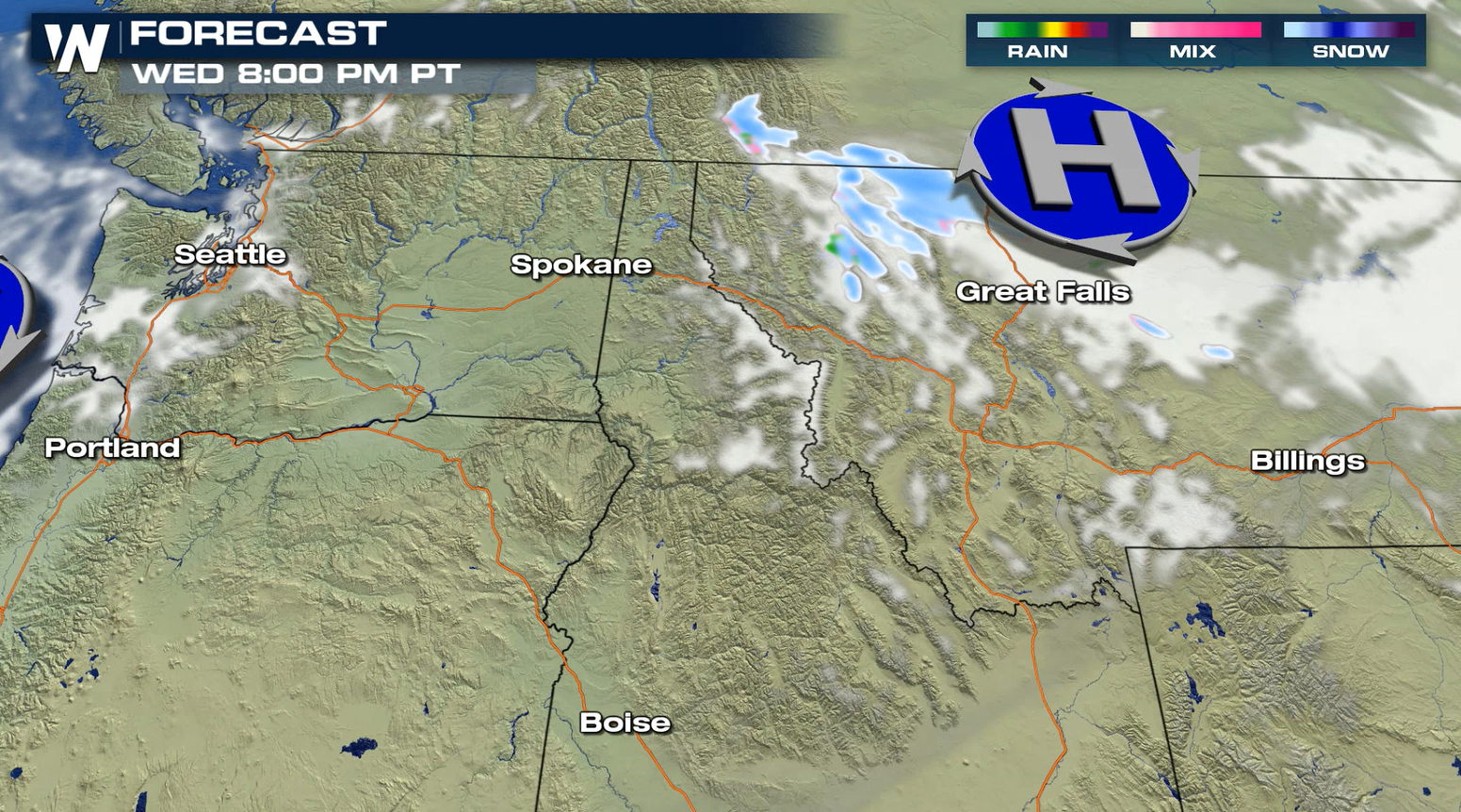
A series of storm systems in the Pacific Ocean will bring areas of freezing rain, snow and heavy rain to portions of the Northwest. Winter Weather Advisories have been issued for the west Glacier region and along the Rocky Mountain Front in Montana. 2" to 4" of snow and a light glazing of ice are possible.
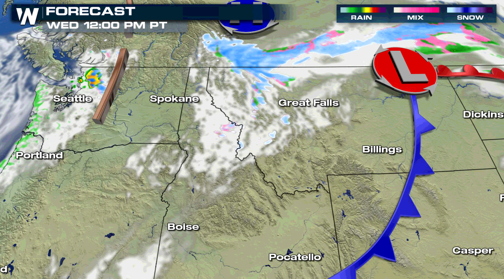
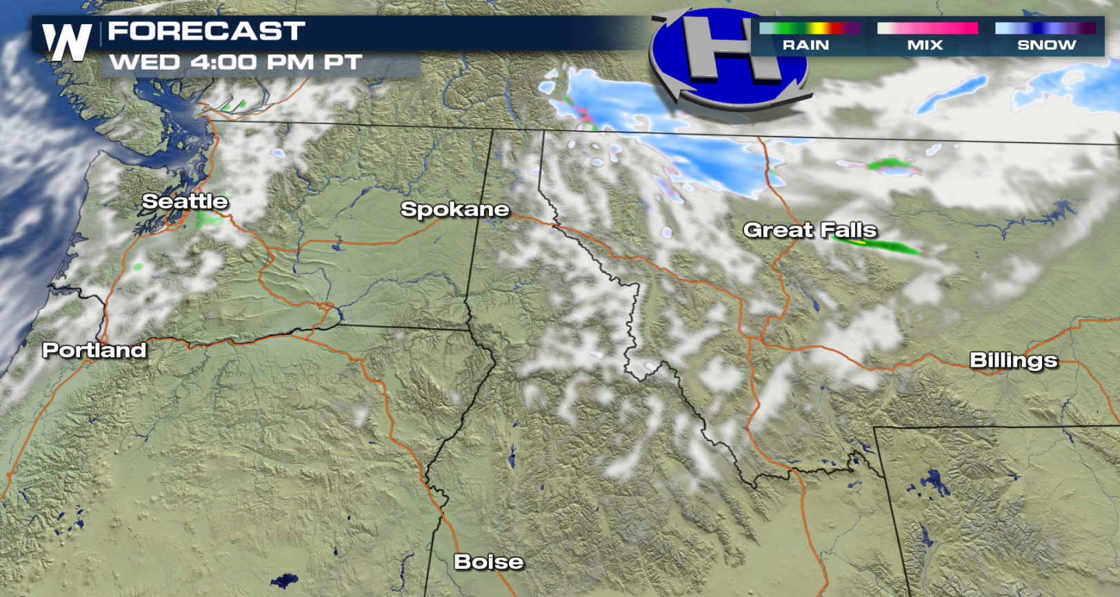
 The main jet stream energy will remain offshore initially, but a trough of low pressure aloft will push into the region. Moisture will stream along the trough, creating the areas of rain, snow, and ice.
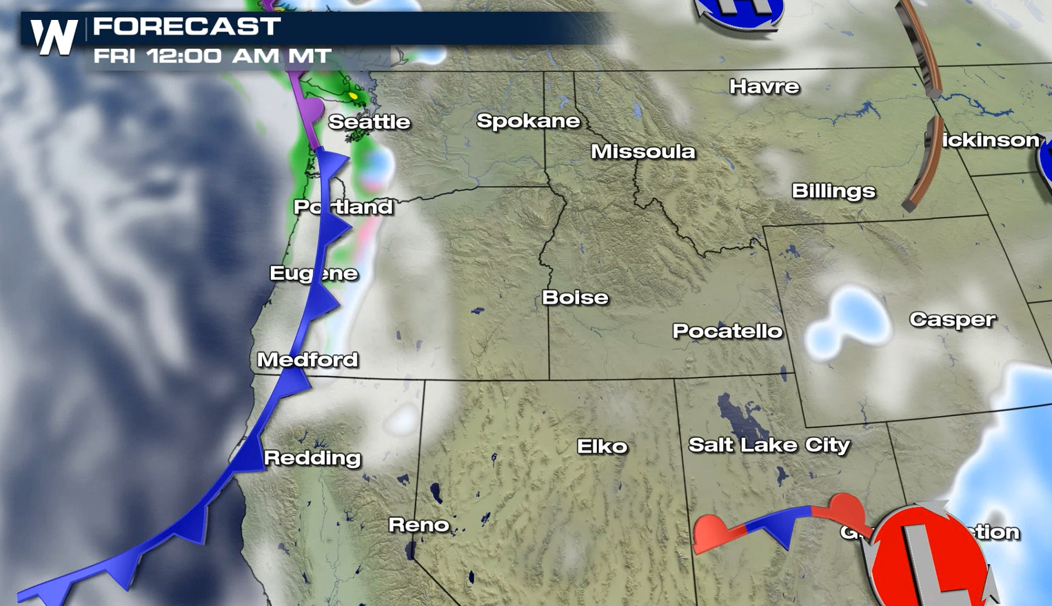
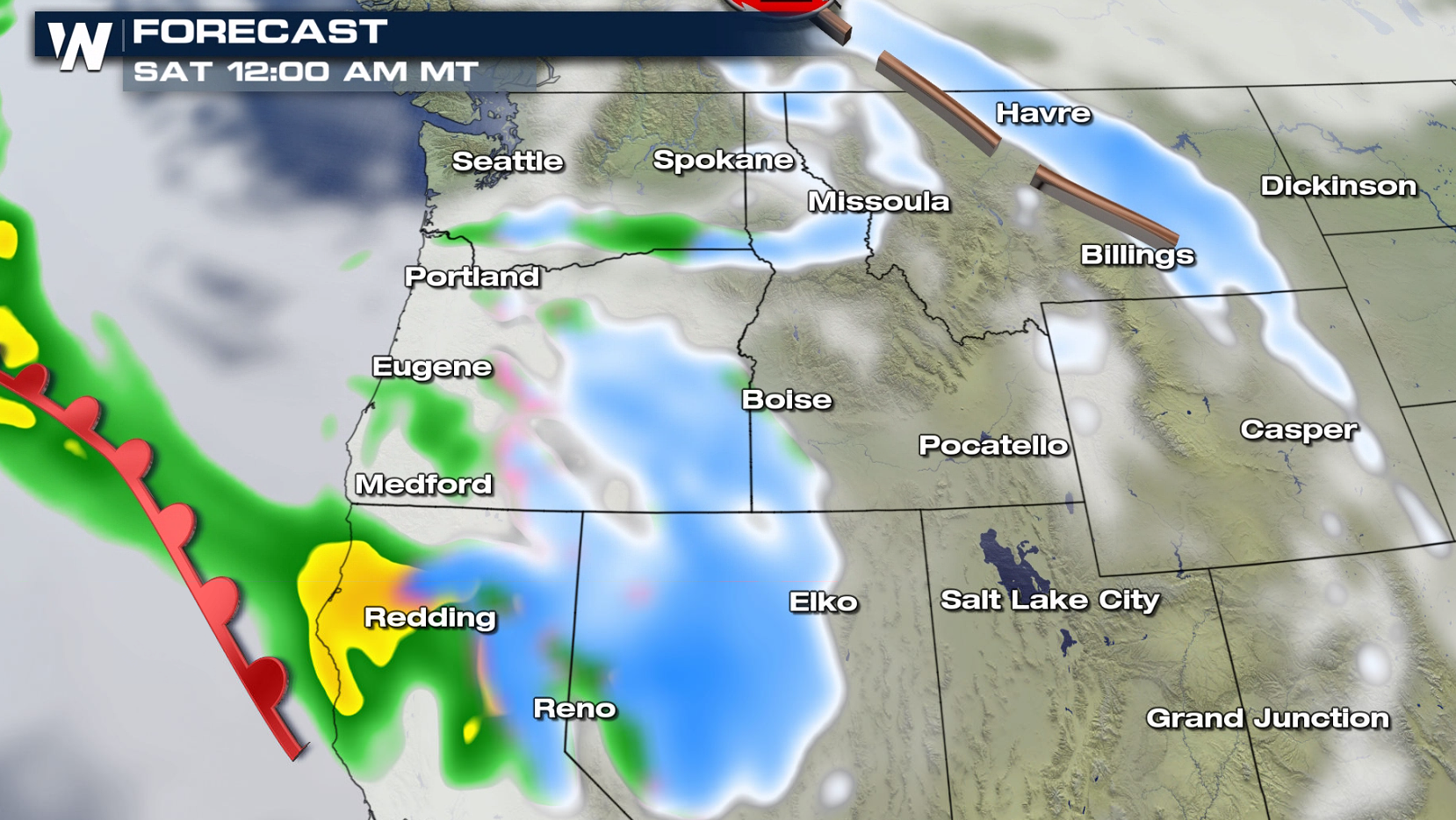
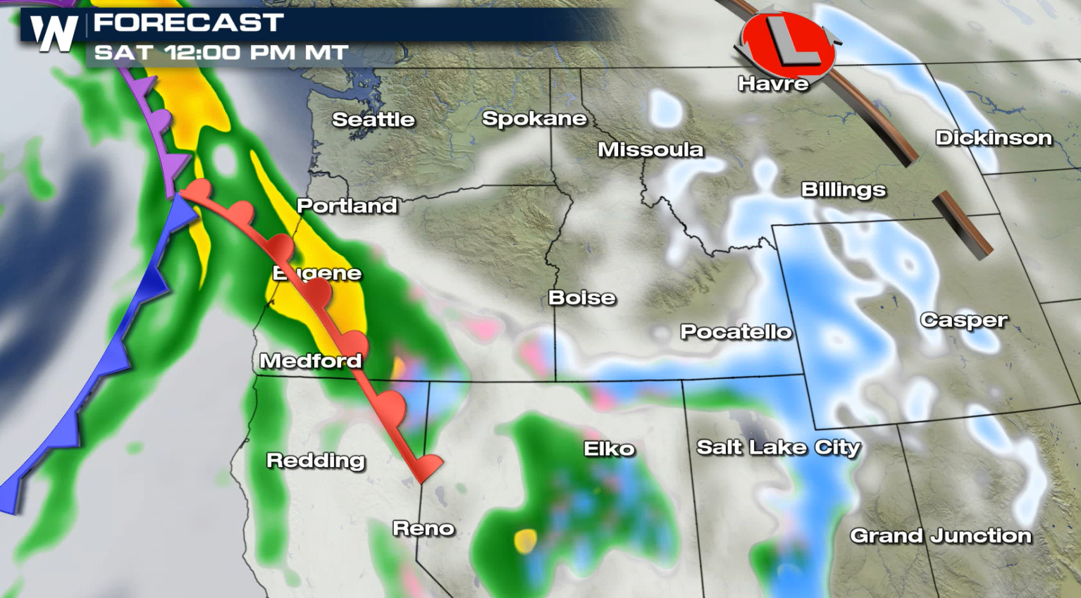
 More precipitation is in the forecast Friday and into this weekend. Multiple waves of energy will push ashore from the Pacific, bringing additional rounds of rain and snow.
 WeatherNation will keep you updated on the latest precipitation chances in the Northwest.
The main jet stream energy will remain offshore initially, but a trough of low pressure aloft will push into the region. Moisture will stream along the trough, creating the areas of rain, snow, and ice.
More precipitation is in the forecast Friday and into this weekend. Multiple waves of energy will push ashore from the Pacific, bringing additional rounds of rain and snow.
WeatherNation will keep you updated on the latest precipitation chances in the Northwest.All Weather News
More
Flooding Risk Increases as Heavy Rain Targets the Tri-State Area
TRI-STATE AREA - Along with the threat of sev
28 Jul 2026 8:30 PM

Severe Threat Marches East This Afternoon
UPPER MIDWEST - Through Monday, dangerous tor
28 Jul 2026 8:20 PM

Tropics: Fausto Heads towards Hawaii; Genevieve Cat 4 Hurricane
PacificTropical Storm Fausto continues to tra
28 Jul 2026 4:20 PM


Southeast Flood Risk Lingers Near Stalled Front
A stalled boundary over the Southeast will ke
25 Jul 2026 10:55 AM

Another Round of Storms Targets the Northeast
Tuesday brought severe weather again across p
23 Jul 2026 1:15 AM