Winter Weather in the High Plains
Special Stories
7 Oct 2018 11:20 AM
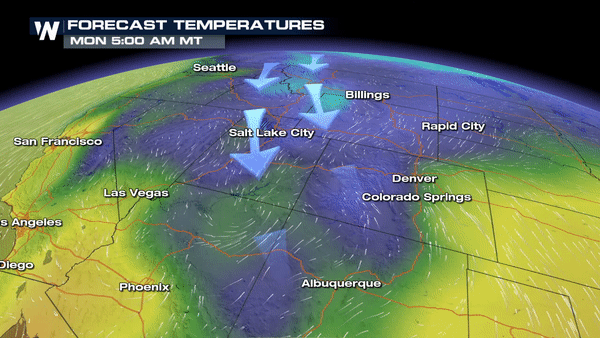
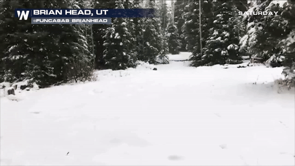
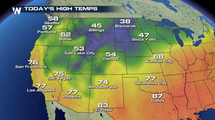 Cold air pooling in from Canada is dropping temperatures for the northern portion of the United States. These temperatures are below average for this time of year, and early season snow is being seen across the high plains. Many cities will only reach the 30s and 40s for the high temperature over the next few days.
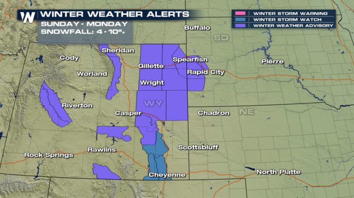
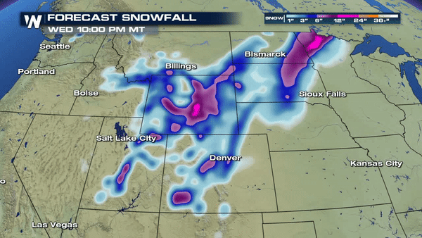 Winter weather alerts are in effect for Wyoming and South Dakota. Snow is looking to be consistent for the high plains over the next few days, not just during the early morning and late evening hours, but also for the afternoon hours. Most areas will be reaching 1 to 3 inches of snow over the course of the next 3 days, but some areas, in the purple, will be reaching 6 to 12 inches of snow.
All Weather News
More


More Storms for the East Sunday and Monday
A low-pressure system crashing through the Mi
2 Aug 2026 2:20 AM

After Reaching Category 5, Genevieve Weakens in the Pacific
PacificGenevieve formed on last Friday south
2 Aug 2026 1:30 AM

Flooding, Severe Storms Target the Midwest Again
After an active week of storms across the nor
1 Aug 2026 1:40 AM

Flooding Risk Increases as Heavy Rain Targets the Tri-State Area
Tuesday, heavy rainfall moved across the Nort
30 Jul 2026 12:25 AM

Severe Weather: Energy From the Midwest Now in the Southeast
UPPER MIDWEST - Through Monday, dangerous tor
29 Jul 2026 10:30 PM