Isolated Severe Storms Overnight

ABOVE: Video from Bay, Arkansas, as a strong tornado rolled through town Wednesday evening. Unfortunately, this is just one of multiple towns taking hits from tornadoes, including Selmer, TN, late Wednesday night.
The system responsible for our dangerous severe weather outbreak is starting to push east along the jet stream after days of staying stagnant. The threat for severe storms continues through Tuesday across the southeast. There is a threat of tornadoes, large hail, and gusty winds. In Ashland, TN, and Sandy Springs, MS, baseball-sized hail of 2.75" was reported on Thursday. A wind gust of 100 mph occurred in Eaton, IN, on Wednesday! In addition, information continues to arrive on a few preliminary ratings of tornadoes, including EF3s in Selmer, TN, and Lake City, AR.
 OVERNIGHT
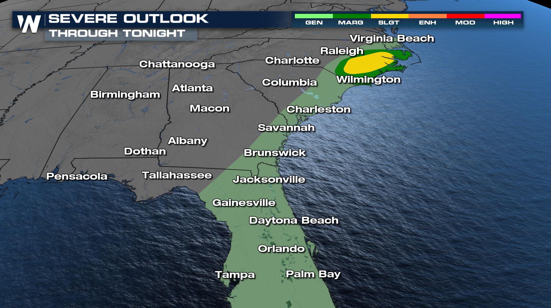
The severe threat continues to lessen, with the loss of daytime heating. There is a slight risk of strong to severe storms for portions of Eastern North Carolina overnight. Damaging winds will be the primary concern, and an isolated tornado or two can't be ruled out. The rest of the southeastern coast has been dropped down to a general thunderstorm risk.
 Before the front is offshore, it has one last swipe of storms. On Tuesday, areas in South Florida need to monitor these storms for general thunderstorms.
Anyone at risk is advised to review emergency plans, secure outdoor items, and stay weather-aware over the coming days. Tune into WeatherNation for the latest updates.


