Heavy Rain & Severe Storms on the East Coast Today

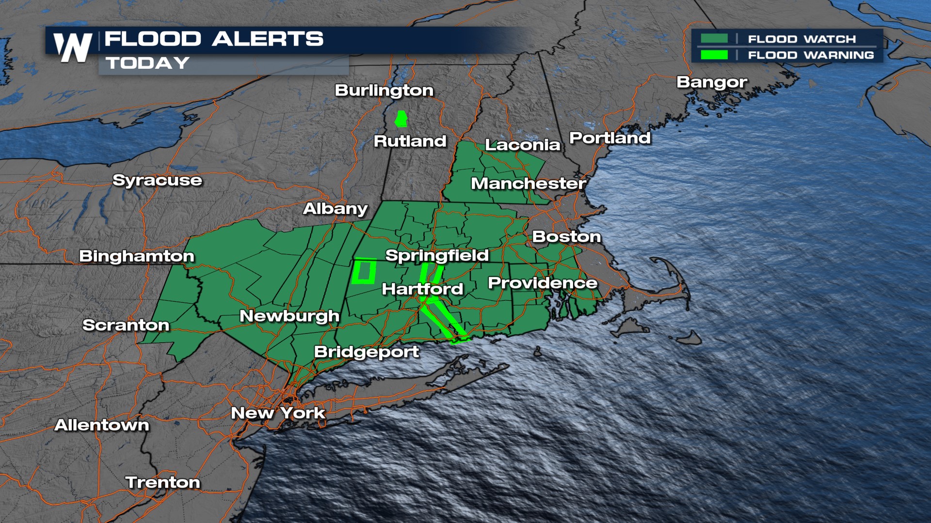
The East Coast is under the risk of severe weather for on Friday as a cold front slides across the region, creating showers and storms. On Thursday, severe storms caused wind damage across the East and several cities did see hail up to the size of half dollars! Flash flooding is still expected to be a major concern for portions of New York and New England today.
 Catastrophic flooding occurred in the Green Mountain State of Vermont on Monday following heavy rainfall and immense runoff. Many communities have seen 7-9" of rainfall prompting widespread road closures due to debris flow and high running rivers, creeks and streams washing away roads.
Pockets of rain could add another 2-4" of fresh water into already saturated, or still flooded, spots. Additional flash flooding and urban flooding is possible from this late-week system. At particular risk will be parts of New England that were hit hard with heavy rain earlier this week, and Appalachia where heavy rain can quickly become runoff in the mountainous areas.
 The severe weather threat Friday covers much of the I-95 corridor from the mid-Atlantic to the Northeast. Philly, DC, and New York City all at risk for strong storms. Right now the risk is a level 1 out of 5 "marginal", but could be upgraded as the forecast comes in to more focus. All severe weather threats are possible with storms Friday--large hail, damaging winds, and a brief tornado can't be ruled out.

Some strong early morning thunderstorms will move east into the afternoon to make way for more widespread thunderstorm activity. The early to middle afternoon hours will likely see the most activity and storms capable of producing gusty winds and hail.
For more on the severe weather threat, join WeatherNation for your Eastern regional forecast :10 past the hour.


