Thunderstorms Continue for the Southeastern U.S. Friday

More strong storms are possible as a cold front moves through the Southeast Friday. This front produced isolated storms Thursday but a few were strong enough to produce gusty winds and hail in parts of Georgia and South Carolina. As the front dips to the south on Friday, more isolated severe storms are possible in southern Georgia and parts of Florida. Damaging wind and hail up to the size of quarters will be the main threats.
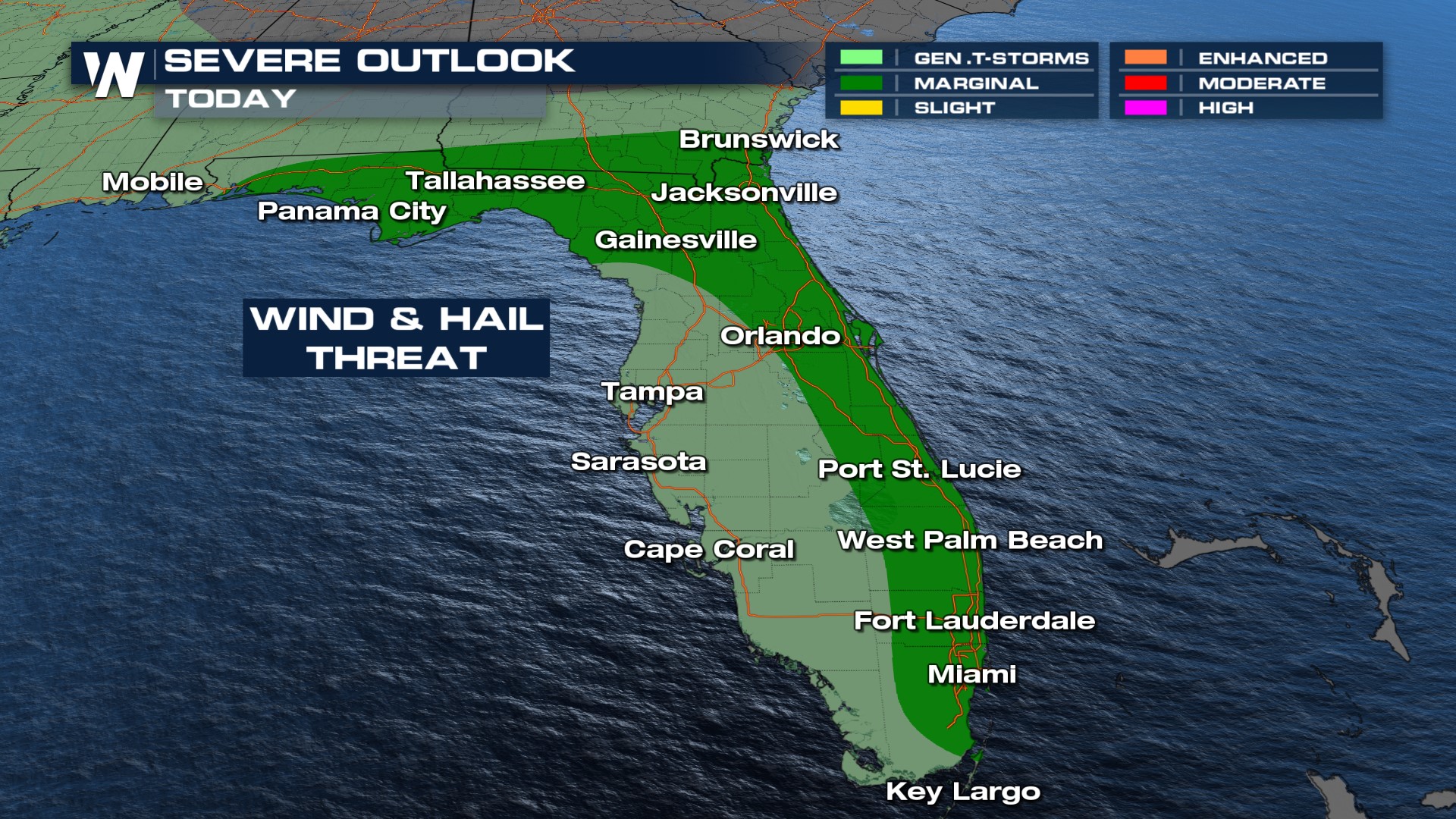 A few showers are possible during the morning along the frontal boundary with activity become more widespread through the afternoon. Before the storms arrive, it will be hot and humid which will help to fuel stronger storms during the afternoon and evening. Make sure you have a way to receive weather alerts and pay attention to changing conditions if you have outdoor plans!
Although widespread flooding is not expected, locally heavy rainfall is possible. Watch out for standing water in low-lying or poor drainage areas. Get the latest details on this top weather story along with the Southeast regional forecast, at :10 past the hour on WeatherNation!


