Cold Front Brings Severe Storms Back to the Midwest

Last week several rounds of storms moved through areas of the Midwest, producing significant wind gusts and flash flooding. notably for portions of Iowa and Illinois, while Nebraska and Kansas saw their share of impacts as well. Another cold front will arrive shortly after the previous front leaves, sparking a new wave of severe storms, including potential for flash flooding.
Forecast
Wind shear will increase across the Plains and Midwest as a strong trough moves across Canada, while a cold front will cut into the United States. Along the front on Monday and Tuesday, isolated to scattered severe storms are possible. Instability will be somewhat limited, so severe storms are more likely in the afternoons when daytime heating can add energy to the atmosphere.
Outlooks
As the front dips into the Upper-Midwest on Monday, scattered severe storms will be possible from Sioux Falls down to central Nebraska, with isolated severe storms possible from NW Oklahoma though Minnesota.
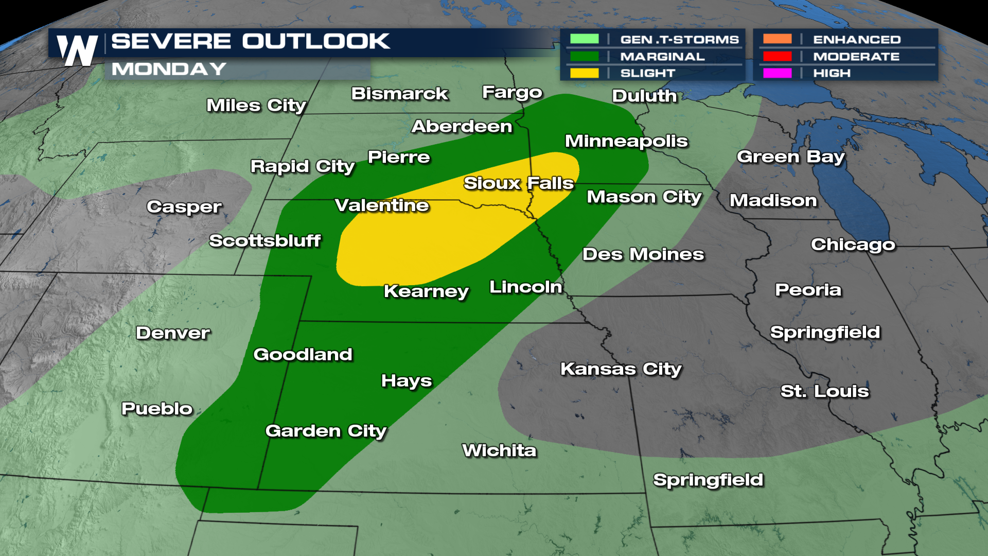
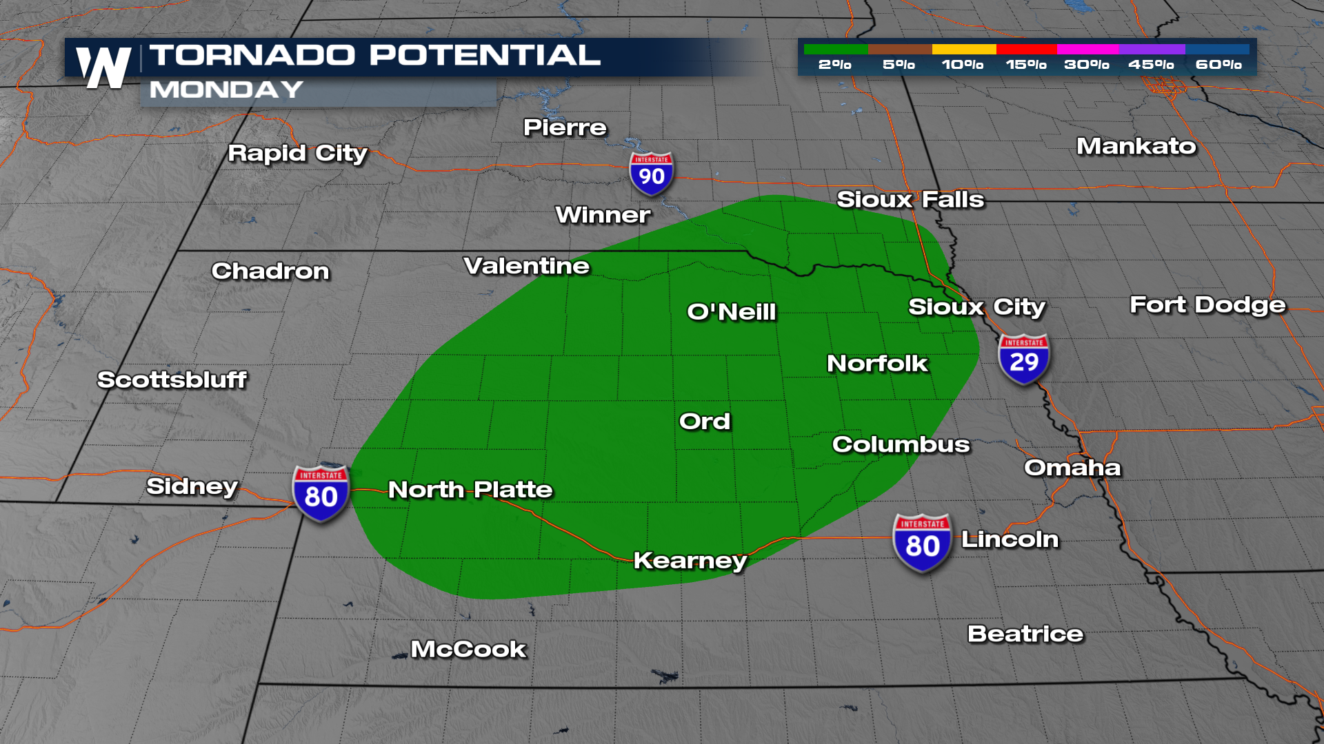
Wind and hail damage are the primary hazards with these storms, but a few tornadoes are possible as well (below).
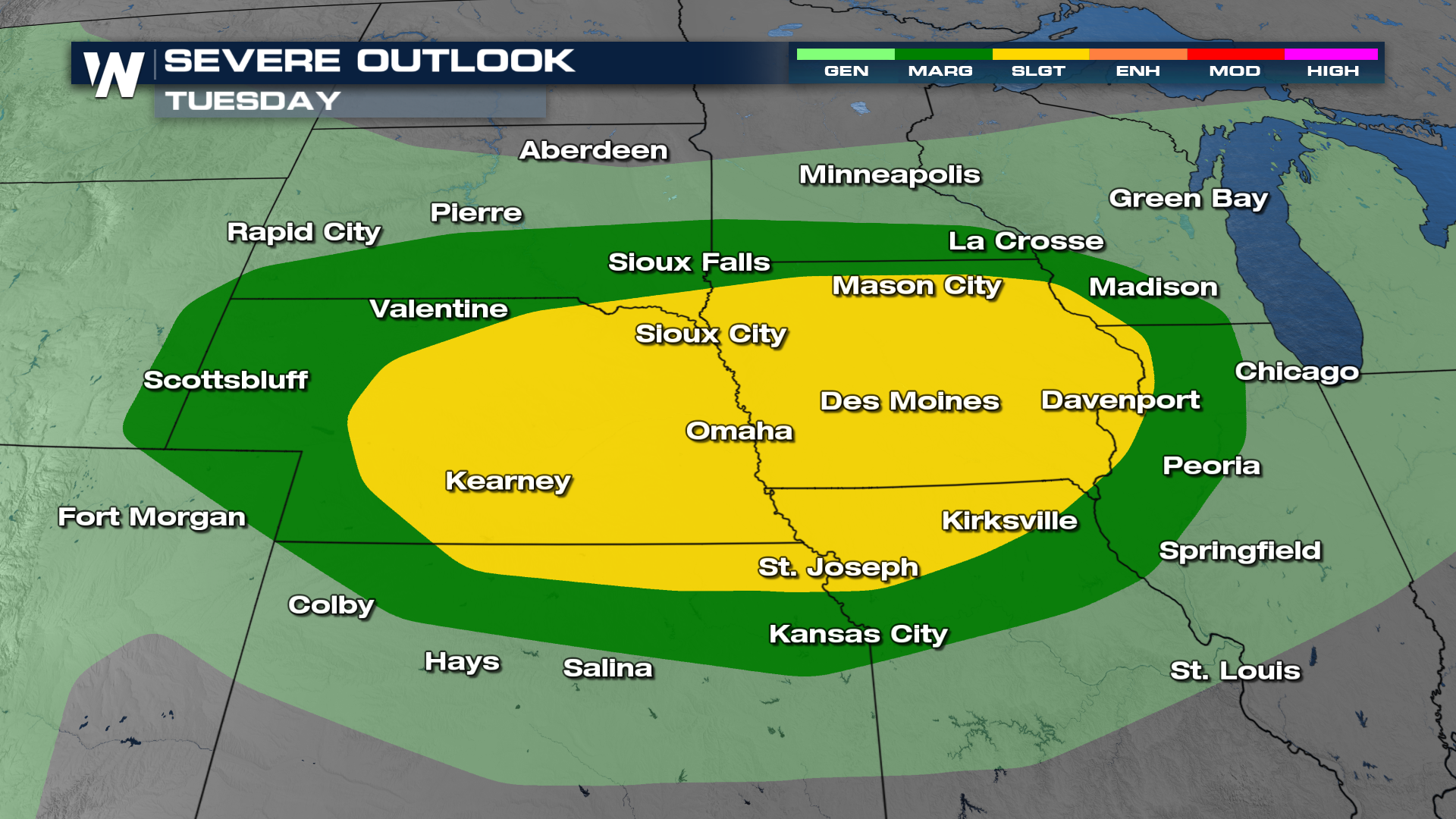
As the front swings farther south and east on Tuesday, another round of scattered severe storms is anticipated from Nebraska though western Illinois.
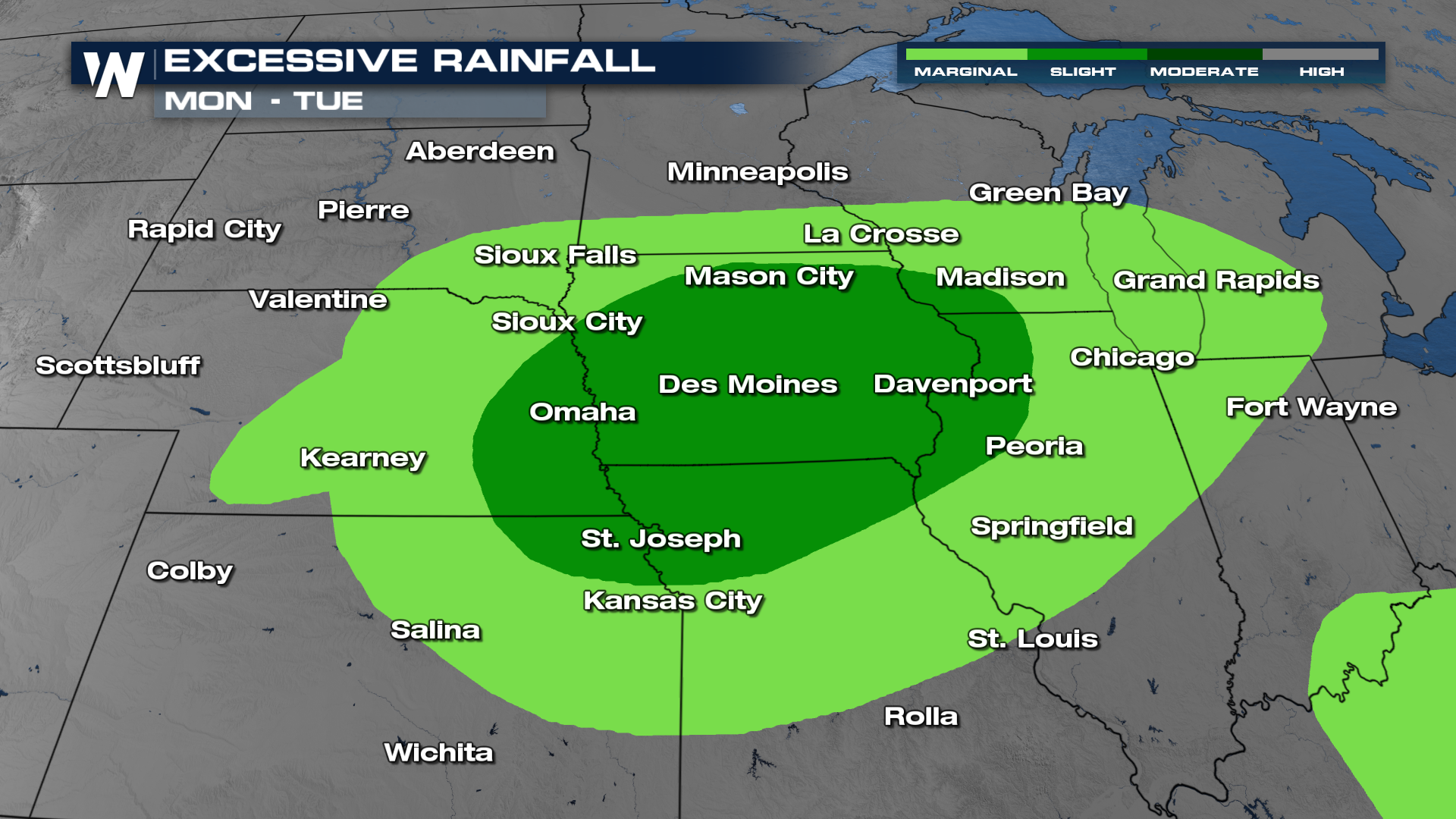
By Tuesday, heavy rain will become a bigger hazard, with scattered flash flooding possible for areas in dark green (below). Soils are saturated from last weeks rain in many of these areas, meaning runoff or flooding will occur more quickly than normal.