Severe Threat Continues Through Tuesday

Portions of the Midwest just wrapped up their rainiest April on record, and the active pattern looks to continue to start the month of May. Several cold fronts are expected to slide into the middle of the country this week after a brief warm-up. Temperatures continue to drop as the front moves to the east.
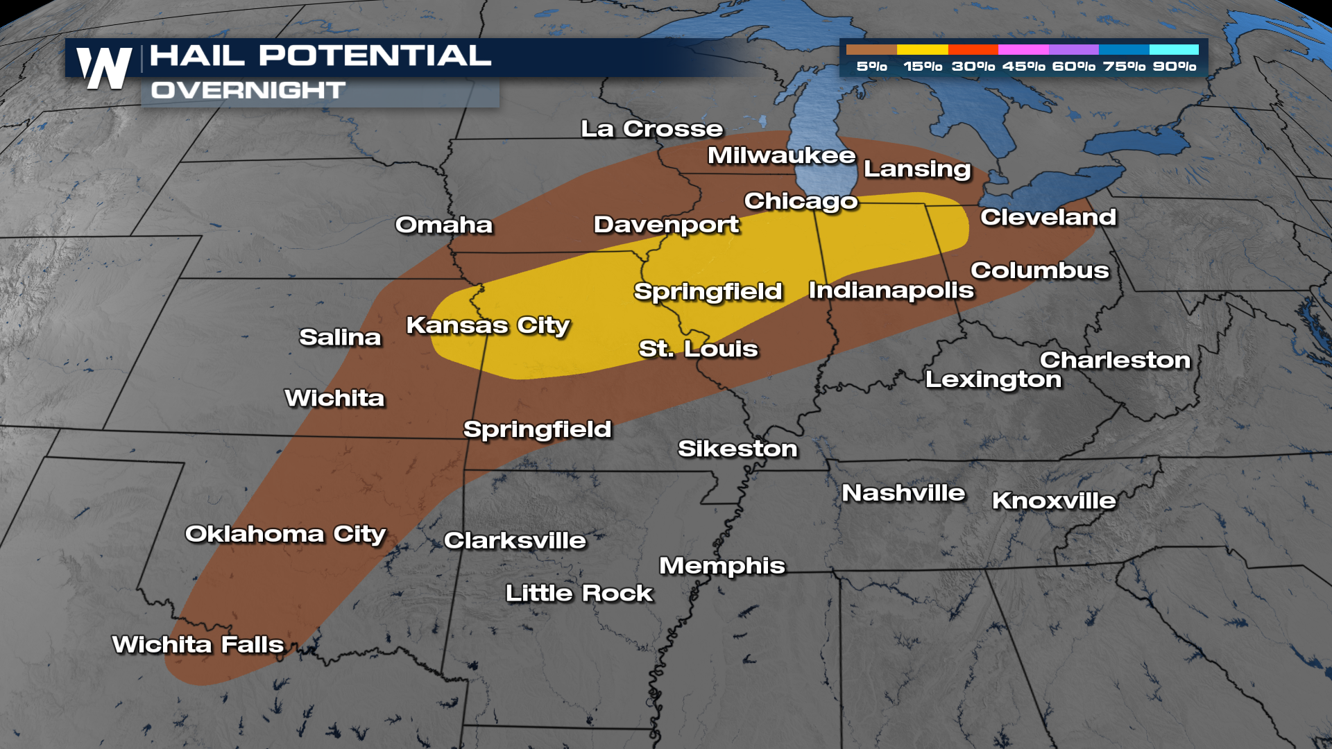
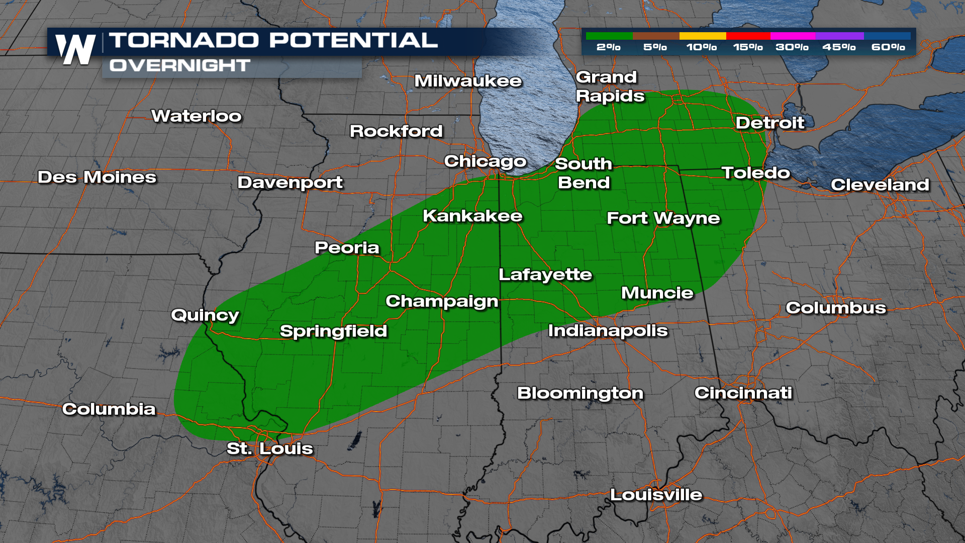
Severe Outlooks
Through the overnight hours, the Storm Prediction Center has portions of the Midwest under a SLIGHT risk (level 2 out of 5) for severe weather, with one of the primary threats being large hail.
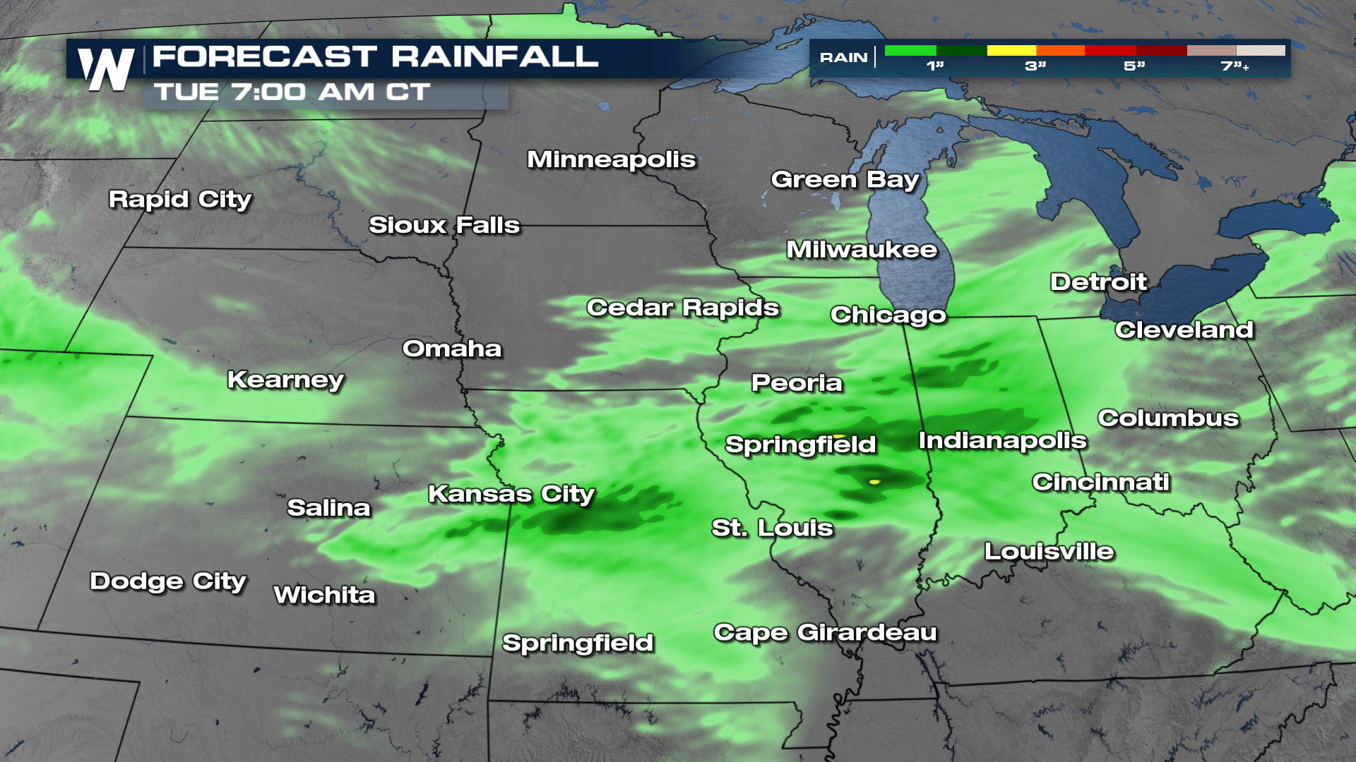
Timing & Rainfall
Some of these strong storms may persist overnight as the front continues to work its way south and east.
Heavy downpours will be possible, and models are hinting at 2"+ rain accumulations in localized areas. This could increase an isolated flooding threat.
 Get the latest forecast for the Central region anytime with the WeatherNation app, or at :30 past the hour in our broadcast.


