Hundreds Of Damaging Wind Gusts Reported
Special Stories
10 Jun 2020 11:27 AM
Downed trees and power lines have been reported in numerous communities across Michigan, Illinois, Indiana, Ohio, and Pennsylvania. Powerful thunderstorms continue through this evening and possibly until the wee hours of Thursday morning. Scroll down to read additional forecast information. Let's quickly recap some of the storm reports that have been posted, so far today, on social media.
https://twitter.com/WeatherNation/status/1270853499509563392
Video embedded above: Fierce wind is seen blowing from right to left, in the camera's view, as a distant trampoline blows across a field in the same direction. Video credit: Alana Nehring.
https://twitter.com/WeatherNation/status/1270815500407357440
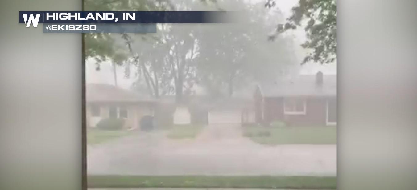
Video embedded above: A large tree was blown down in Indiana after severe thunderstorms raced through Wednesday. Video credit: @thebilski
https://twitter.com/cityofsandusky/status/1270868777769537536
Pictures embedded above: Damaging straight-line winds toppled part of a brick theater and performing arts center in northern Ohio. Photo credit: @cityofsandusky
Here are the top wind reports (by state) as of 7:30 p.m. EDT Wednesday:
- 80 mph in Converse, IN
- 77 mph in Winchester, KY
- 76 mph in Marblehead, OH
- 75 mph in Grandville, MI
- Brian, OH: 2"
- Sauk Village, IL: 2"
- Amboy, IN: 1.75"
- Webster, PA: 1.50"
- Merton, WI: 1.00"
- Detroit, MI: 1.00"
All Weather News
More
Flooding Risk Increases as Heavy Rain Targets the Tri-State Area
TRI-STATE AREA - Along with the threat of sev
28 Jul 2026 10:00 PM

Severe Threat Marches East This Afternoon
UPPER MIDWEST - Through Monday, dangerous tor
28 Jul 2026 8:20 PM

Tropics: Fausto Heads towards Hawaii; Genevieve a Major Hurricane
PacificTropical Storm Fausto continues to tra
28 Jul 2026 8:20 PM


Southeast Flood Risk Lingers Near Stalled Front
A stalled boundary over the Southeast will ke
25 Jul 2026 10:55 AM

Another Round of Storms Targets the Northeast
Tuesday brought severe weather again across p
23 Jul 2026 1:15 AM