Cold Air Sticks Around the Central to Eastern U.S.

Temperatures have been record-breaking with how cold it has been over the last week. There is no relief in sight with the cold air. Even as temperatures look as if they may rebound, they drop again by the weekend.
A few cold alerts will stick around through Thursday morning across portions of the Midwest to the Northeast.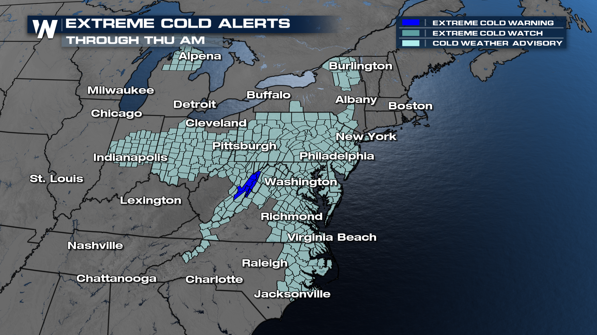
In addition, the cold makes its way all the way down to Florida. Frost and freeze alerts are in effect through Thursday morning across a large area of Florida and south Georgia, as well as some counties in Louisiana.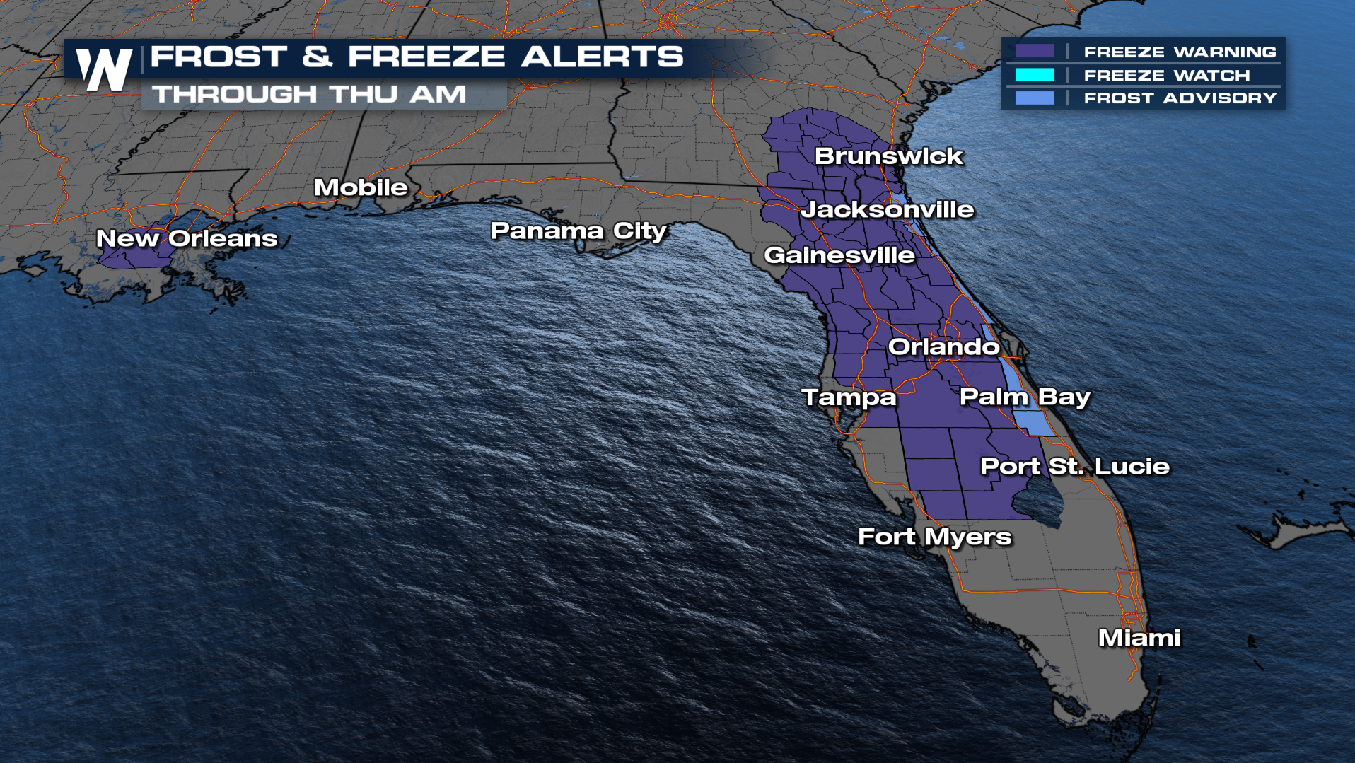
Cold temperatures will remain in the pattern through the weekend. Lows will again drop to below zero across parts of the Northeast.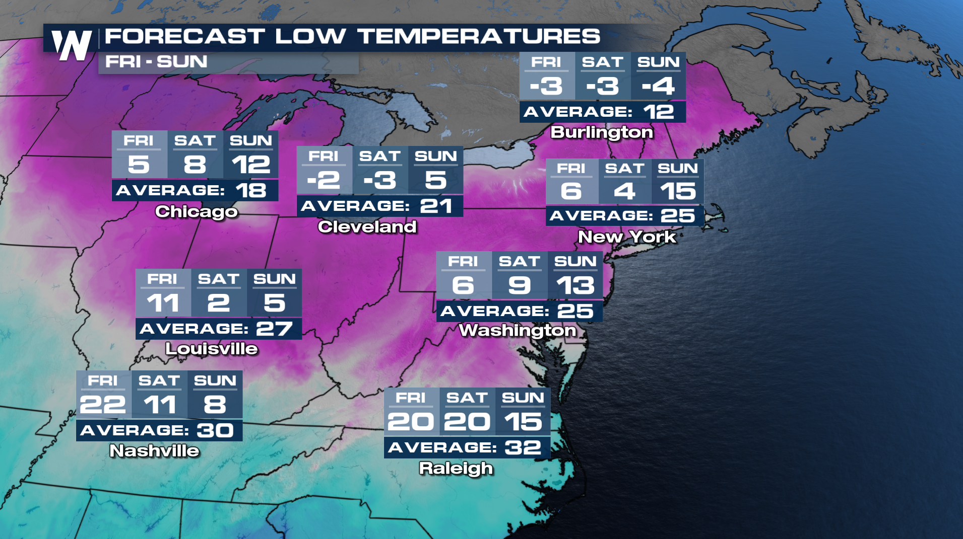
For the Southeast, cities like Tampa will see lows in the 30s Thursday morning with highs by Sunday in the 40s!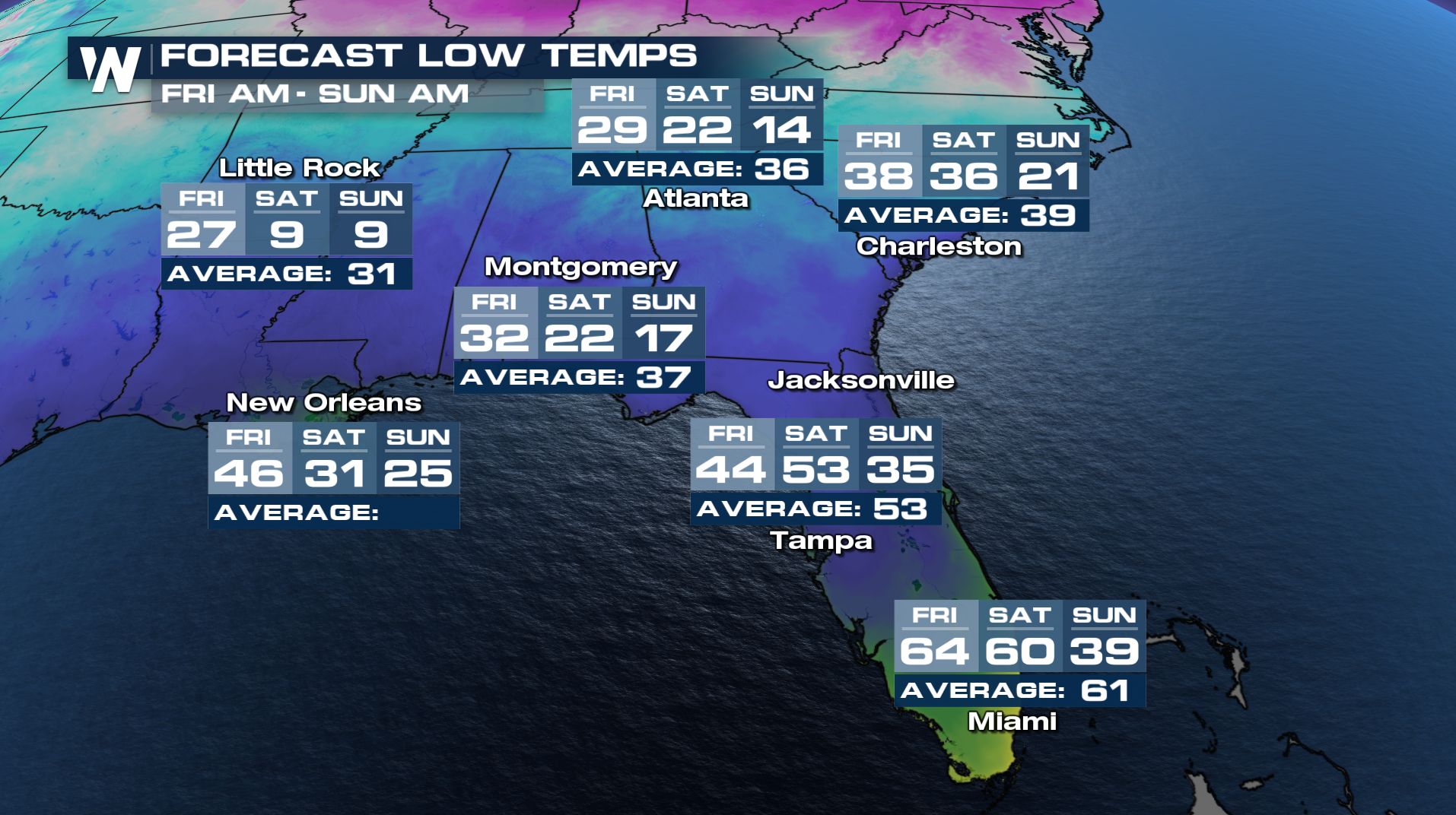
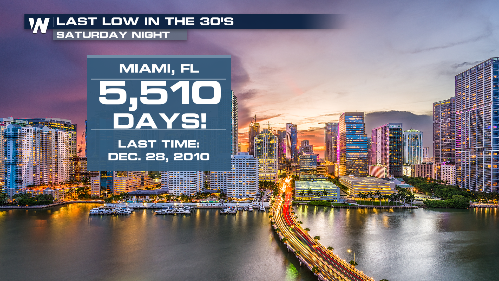
Miami even has a forecast low of 39 degrees on Sunday! If it was to get this low, it'll be the first time in just over 15 years that Miami's seen a low temperature in the 30s!
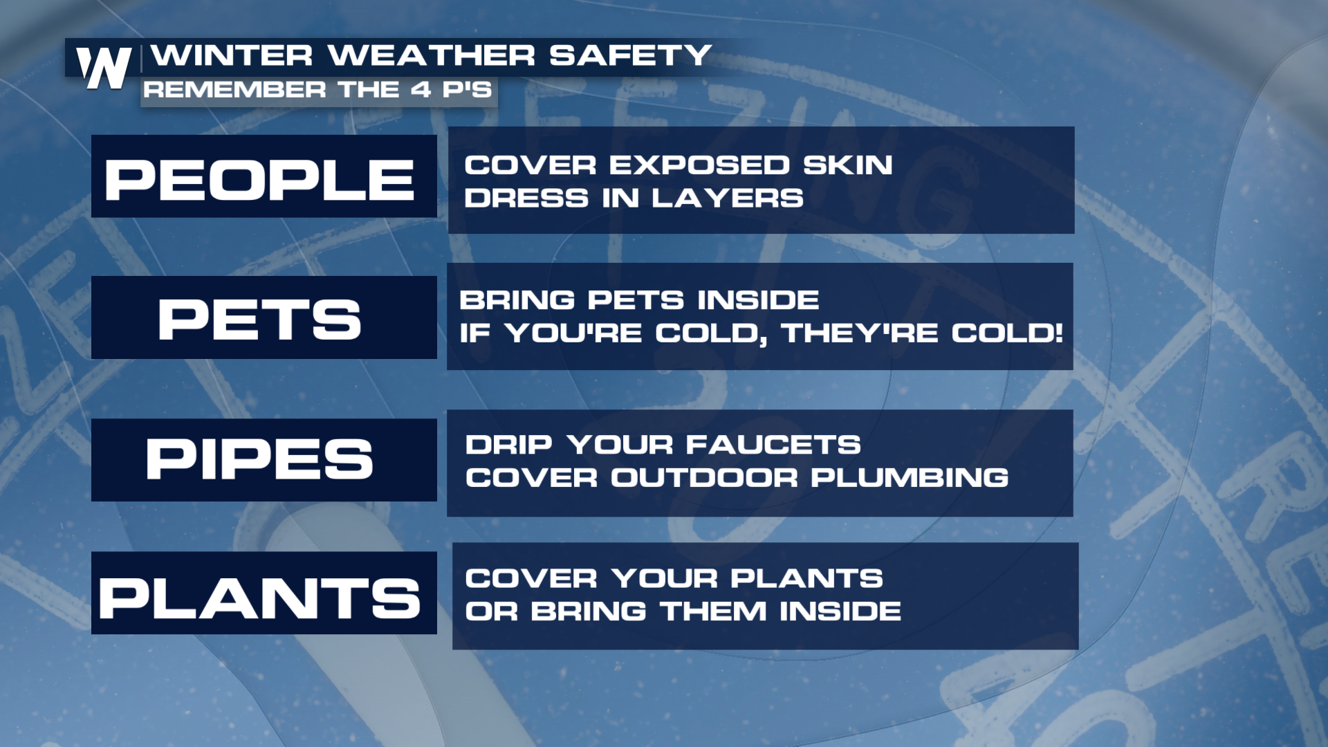
If you're across the deep south, extreme cold weather doesn't come too often. However, when it does, remembering the 4 P's is always helpful.
 Tune in to WeatherNation for more of your top weather headlines. All your regional forecasts can also be found :10, :30, and :50 past the hour.


