Busiest Stretch of Severe Weather in Four Years

Following Friday morning's severe weather across northern Florida, newly-summarized data is coming in and it paints the picture of how busy the hazardous weather has been the past couple of weeks. According to the Storm Prediction Center, from late April to early May this year there were more than 3,000 severe weather warnings issued by the National Weather Service. The 16-day span is estimated to have been the busiest stretch of weather since 2019!
A destructive severe thunderstorm warning was issued Friday morning across northern Florida, meaning winds in excess of 80 miles per hour could have been possible, as a line of heavy weather pushed toward Jacksonville. "Destructive" severe thunderstorm warnings are a fairly new designation and are reserved for thunderstorms that carry a potential of 80 mph winds, 2.5" thick hail, or both! In this case, it was all about the straight-line wind damage potential on Friday morning.
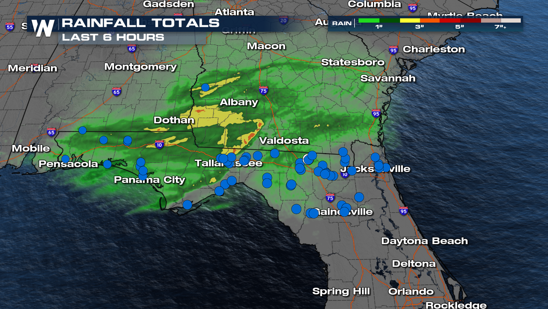 Blue dots cover the map in the image above, right along the Interstate 10 corridor in northern Florida from Pensacola to Jacksonville. Each of those blue dots indicate either a noteworthy strong wind gust or damage to trees, power lines, or property. An 84 mph wind gust was recorded in Crestview, FL!
 In addition, there was an indicator of tornadic wind damage in the Tallahassee, FL area. However until storm surveys are completed, this will be classified as straight-line wind damage until determined to be a tornado. For the rest of the night, a few isolated severe thunderstorms could be possible in parts of Florida as the cold front keeps pushing southward!
Stay with us here at WeatherNation as we update you on this top weather story today.


