Northeast Severe Threat on Thursday

news image
Top Stories
3 Jul 2025 8:05 PM

NORTHEAST -A shortwave trough will swing through the Great Lakes and into the Northeast on Thursday, bringing the threat of afternoon thunderstorms along an advancing cold front. Warm and humid air ahead of the boundary will help fuel the risk for damaging wind gusts and isolated hail.

The SPC has issued a SLIGHT (level 2 out of 5) risk for severe storms in these areas.

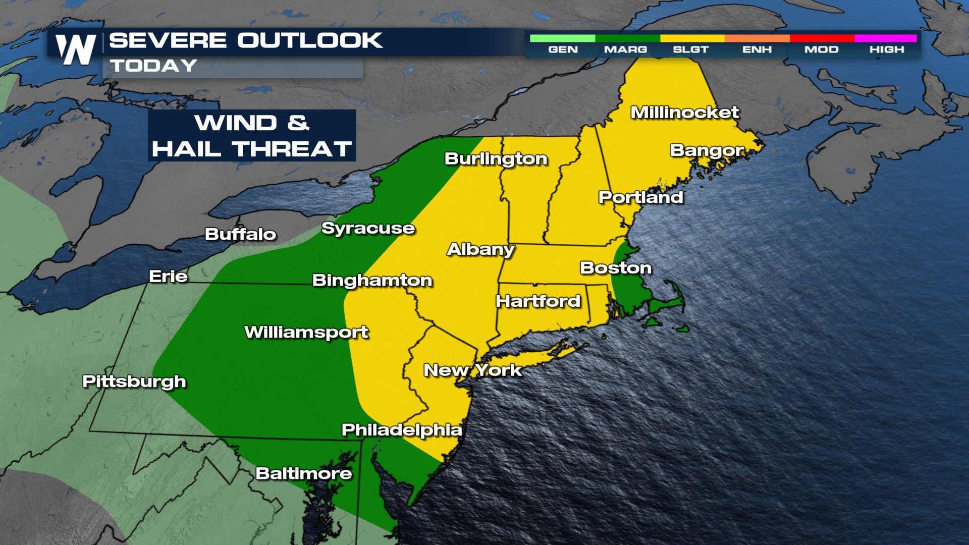
Storms look to start during the day in New York State, but the frontal boundary doesn't move towards the I-95 corridor and clear until later into the evening/nighttime frame.

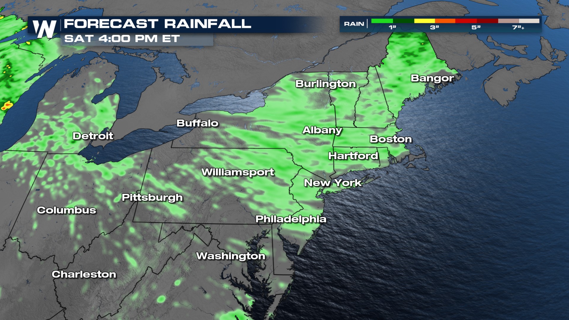
This next frontal boundary is coming just a couple of days after significant flash flooding happened in the northeast, so the flooding threat where we have already seen rain may be more sensitive to flash flooding through the end of the week.

All Weather News
More
Active Week Ahead For The Plains

Active Week Ahead For The Plains

Storms fired up across the plains, and a seve

22 Jun 2026 2:01 AM
Severe Storms, Flash Flooding Overnight In Midwest

Severe Storms, Flash Flooding Overnight In Midwest

WHAT TO EXPECTIt was a very active day across

22 Jun 2026 1:50 AM
Heat Returns to the West

Heat Returns to the West

Next week, an upper level ridge takes over pa

22 Jun 2026 1:20 AM
Summer Solstice Kicks Off Father's Day Sunday

Summer Solstice Kicks Off Father's Day Sunday

Fathers across the country will have to share

21 Jun 2026 5:20 PM
Flood Risk Continues This Weekend for the Gulf Coast States

Flood Risk Continues This Weekend for the Gulf Coast States

Numerous flash flood warnings were issued as

21 Jun 2026 1:15 PM
Dry T-Storms & Fire Danger in the West

Dry T-Storms & Fire Danger in the West

A weak low-pressure system moving through the

20 Jun 2026 1:40 PM
Tornadoes Tear Through The Midwest, Isolated Severe Storms in the South

Tornadoes Tear Through The Midwest, Isolated Severe Storms in the South

EARLIER THIS WEEKMONTROSE, IL - A dangerous t

20 Jun 2026 1:30 AM