Rounds Of Severe For Plains

Top Stories
1 Jul 2025 1:30 PM
A shortwave trough will move across the plains, sparking up daily storm chances. This will continue over the next few days and into the holiday weekend.
The Storm Prediction Center has highlighted various areas across the plains, with gusty winds and hail being the primary concern. All threats are a marginal, level 1 out of 5, risk through Friday.
Today, a front drops down from Canada bringing the threat around the Great Lakes. On Thursday, a front and its associated trough will bring the threat back to the Dakotas and Montana.
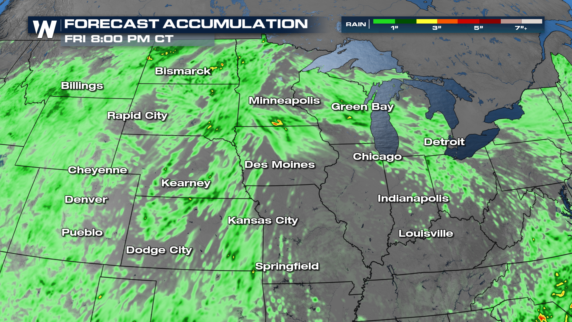
Rainfall totals will be minimal for most, but there will be some localized heavy rain possible.
 For the latest update on the Central Region Forecast, tune into WeatherNation at :30 past the hour.
All Weather News
More
Hurricane Flossie Now A Major Hurricane
Hurricane FlossieThe National Hurricane Cente
2 Jul 2025 1:00 PM

Near Seasonal Temperatures for Many Come July 4th!
AAA is expecting over 70 million travelers to
2 Jul 2025 1:00 PM

NHC Monitoring Front in the Southeast Ahead of 4th of July
Later this week, a frontal boundary is expect
2 Jul 2025 9:30 AM

Western Heat Continues With Some Relief
A large dome of hot, high pressure remains ac
2 Jul 2025 2:00 AM

Severe Storms For the East Coast Through Tuesday
A cold front moving through a moist airmass h
2 Jul 2025 1:00 AM


Severe Weather Threat Continues in the Midwest
It has been an active, severe season across t
30 Jun 2025 9:00 PM