Lake Effect Snow Continues Behind the Nor'easter
Special Stories
4 Jan 2018 9:03 PM
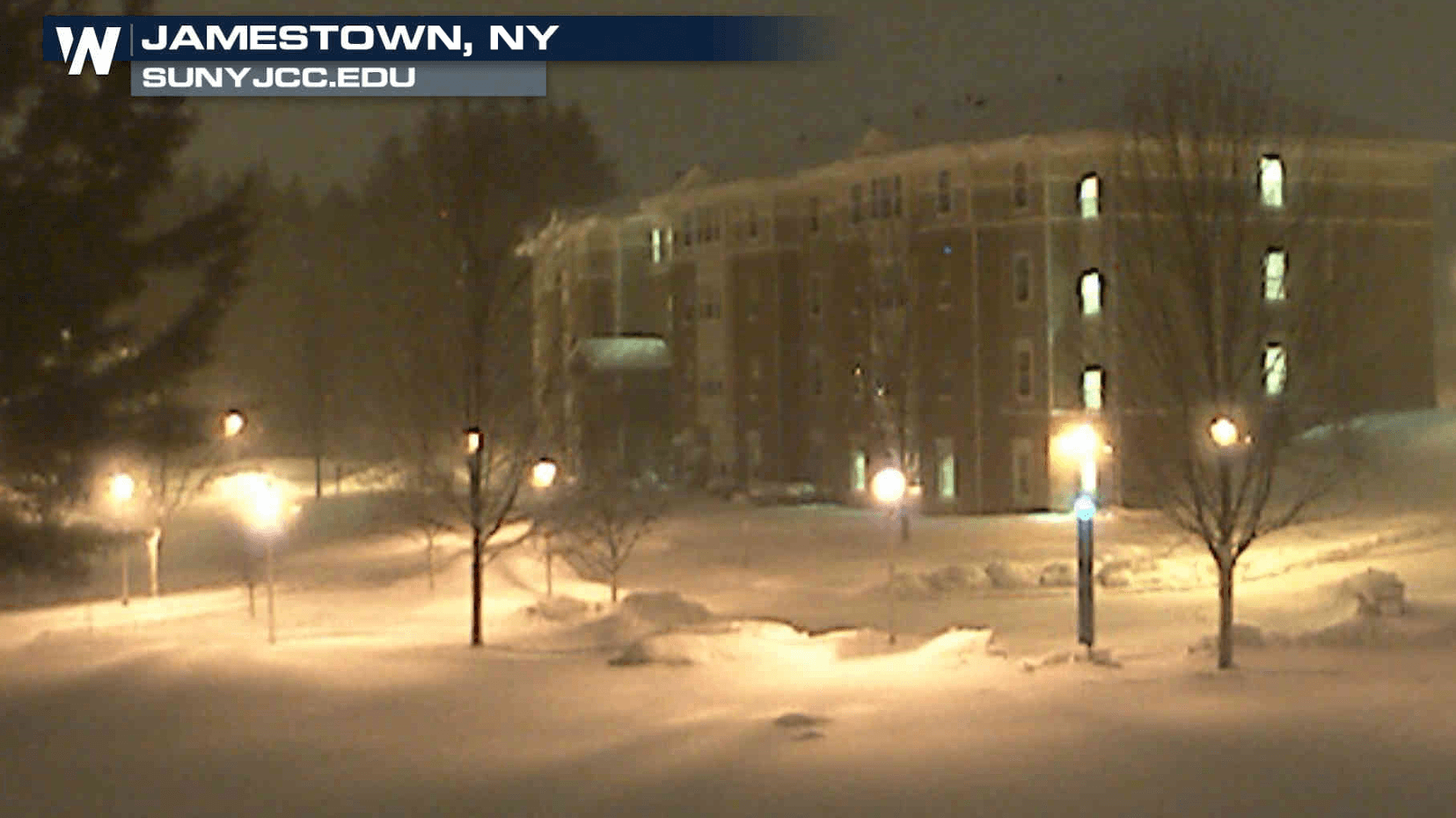
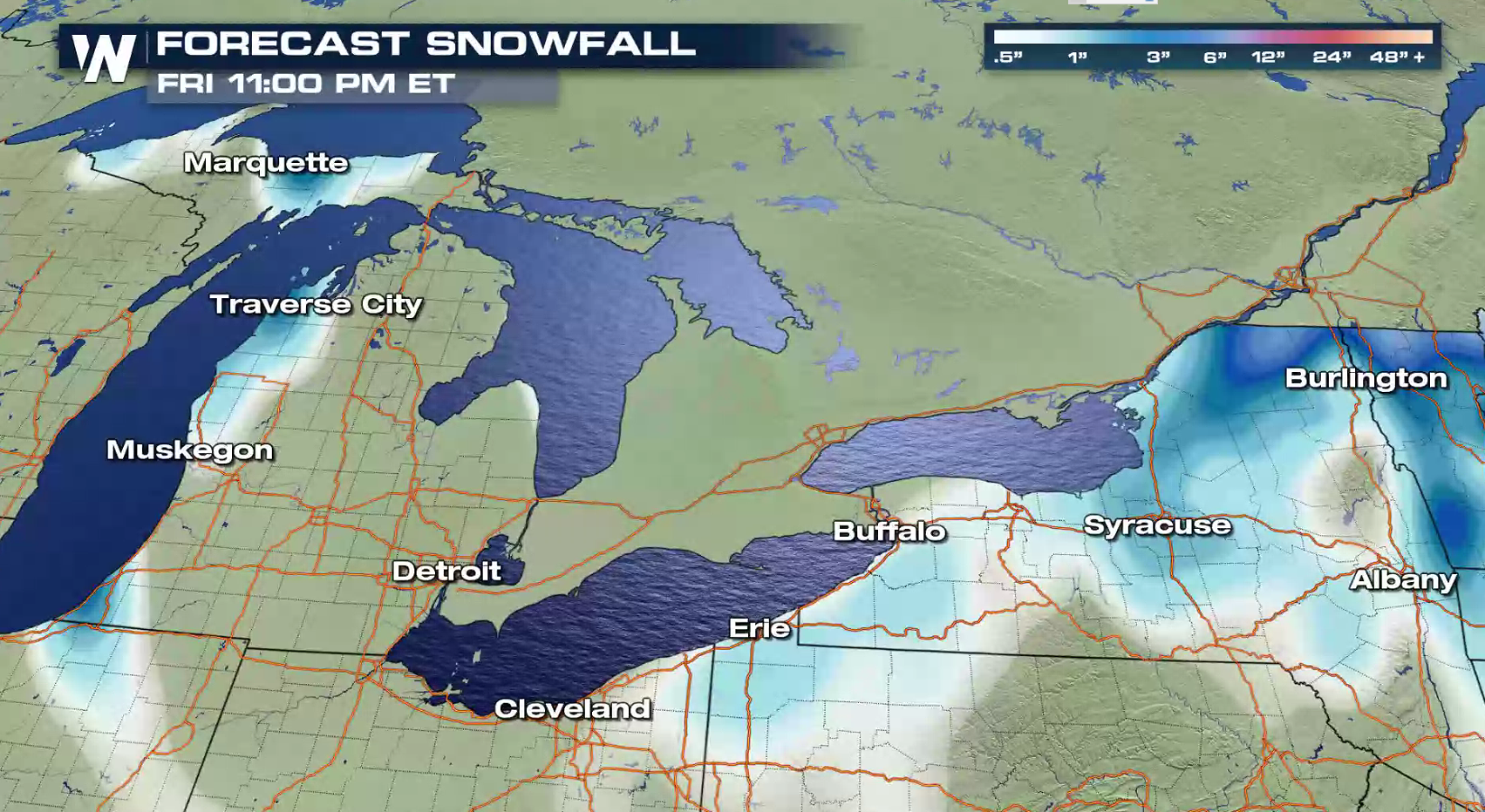
Behind the strong Nor'easter in the Atlantic Ocean, cold northwesterly winds are blowing across the Great Lakes. This is producing lake effect snow around Lake Superior and Lake Michigan, which will expand to areas near Lake Erie and Lake Ontario Friday into this weekend.
 https://twitter.com/NWSMarquette/status/948857312399290368
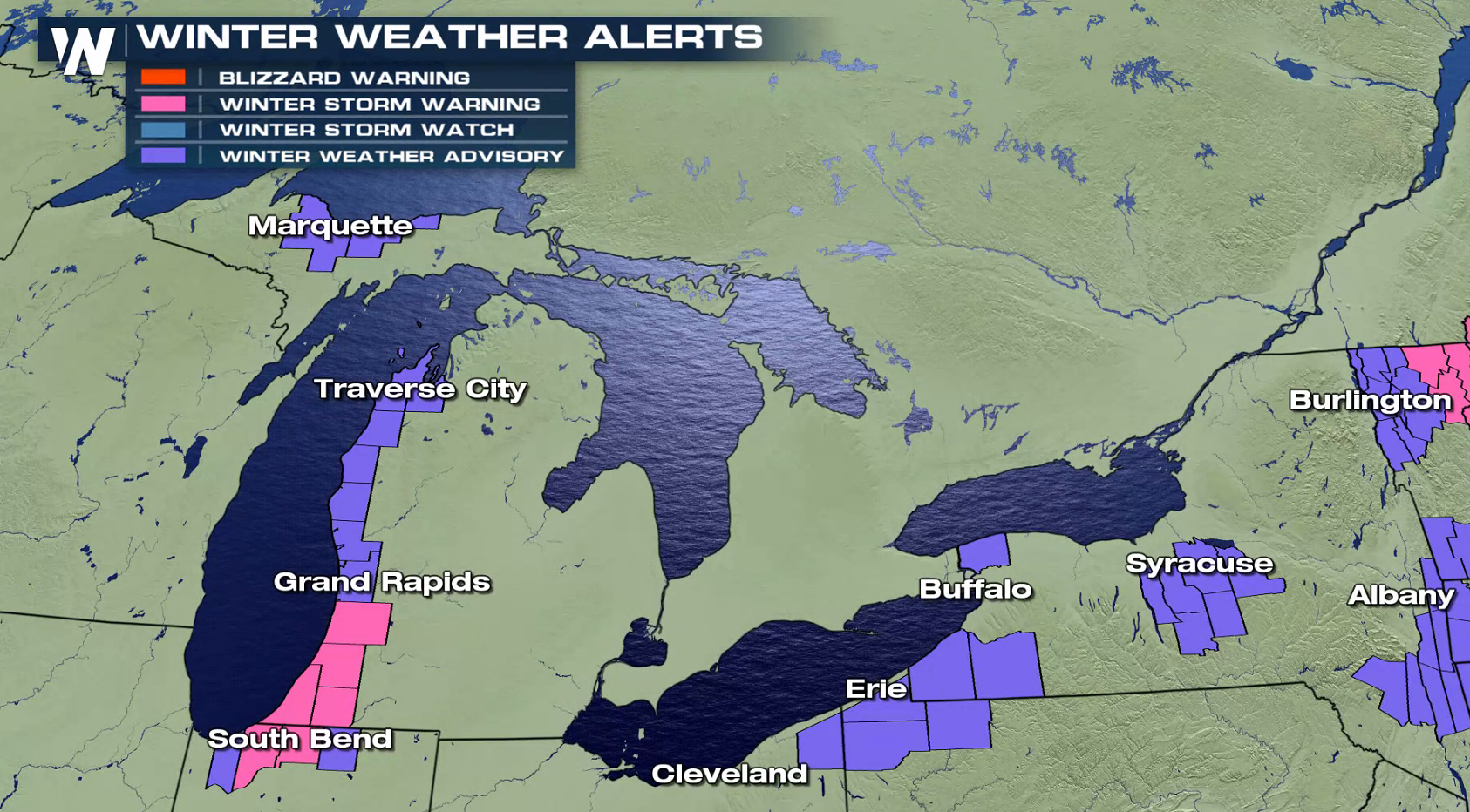
Winter Storm Warnings continue for the lake effect snow belts in Southwest Lower Michigan and Northwest Indiana. Winter Weather Advisories have been posted in several of the other favored lake effect snow areas around the Great Lakes. Additional alerts are likely to be issued in the next 24 hours. Snowfall totals may climb above a foot in areas that see the heaviest snow squalls.
https://twitter.com/NWSIWX/status/948864427742384128
https://twitter.com/NWSBUFFALO/status/948874716458168321
https://twitter.com/NWSMarquette/status/948857312399290368
Winter Storm Warnings continue for the lake effect snow belts in Southwest Lower Michigan and Northwest Indiana. Winter Weather Advisories have been posted in several of the other favored lake effect snow areas around the Great Lakes. Additional alerts are likely to be issued in the next 24 hours. Snowfall totals may climb above a foot in areas that see the heaviest snow squalls.
https://twitter.com/NWSIWX/status/948864427742384128
https://twitter.com/NWSBUFFALO/status/948874716458168321
 For WeatherNation: Meteorologist Mace Michaels
https://twitter.com/NWSMarquette/status/948857312399290368
Winter Storm Warnings continue for the lake effect snow belts in Southwest Lower Michigan and Northwest Indiana. Winter Weather Advisories have been posted in several of the other favored lake effect snow areas around the Great Lakes. Additional alerts are likely to be issued in the next 24 hours. Snowfall totals may climb above a foot in areas that see the heaviest snow squalls.
https://twitter.com/NWSIWX/status/948864427742384128
https://twitter.com/NWSBUFFALO/status/948874716458168321
For WeatherNation: Meteorologist Mace MichaelsAll Weather News
More
Tropical Storm Chantal Forms This Morning
Tropical Storm Chantal has formed, with winds
5 Jul 2025 4:35 PM

Catastrophic Flooding in the Texas Hill Country
Multiple Flash Flood Emergencies were issued
5 Jul 2025 4:35 PM


Severe Storms in the Midwest Continue To Spoil the Holiday Weekend
NORTHERN PLAINS - A frontal system continues
5 Jul 2025 8:30 AM

Near Seasonal Temperatures for Many Come July 4th!
AAA is expecting over 70 million travelers to
4 Jul 2025 10:15 AM


Northwest Heat Met With Thunderstorm Risk
NORTHWEST - Today, portions of Montana are un
3 Jul 2025 12:00 AM