Rare Tornado Warning in Washington State Monday

A frontal boundary on Monday afternoon helped to trigger a brief tornado warning in Clark County, Washington. Fortunately, there was no confirmation of a tornado or any damage.
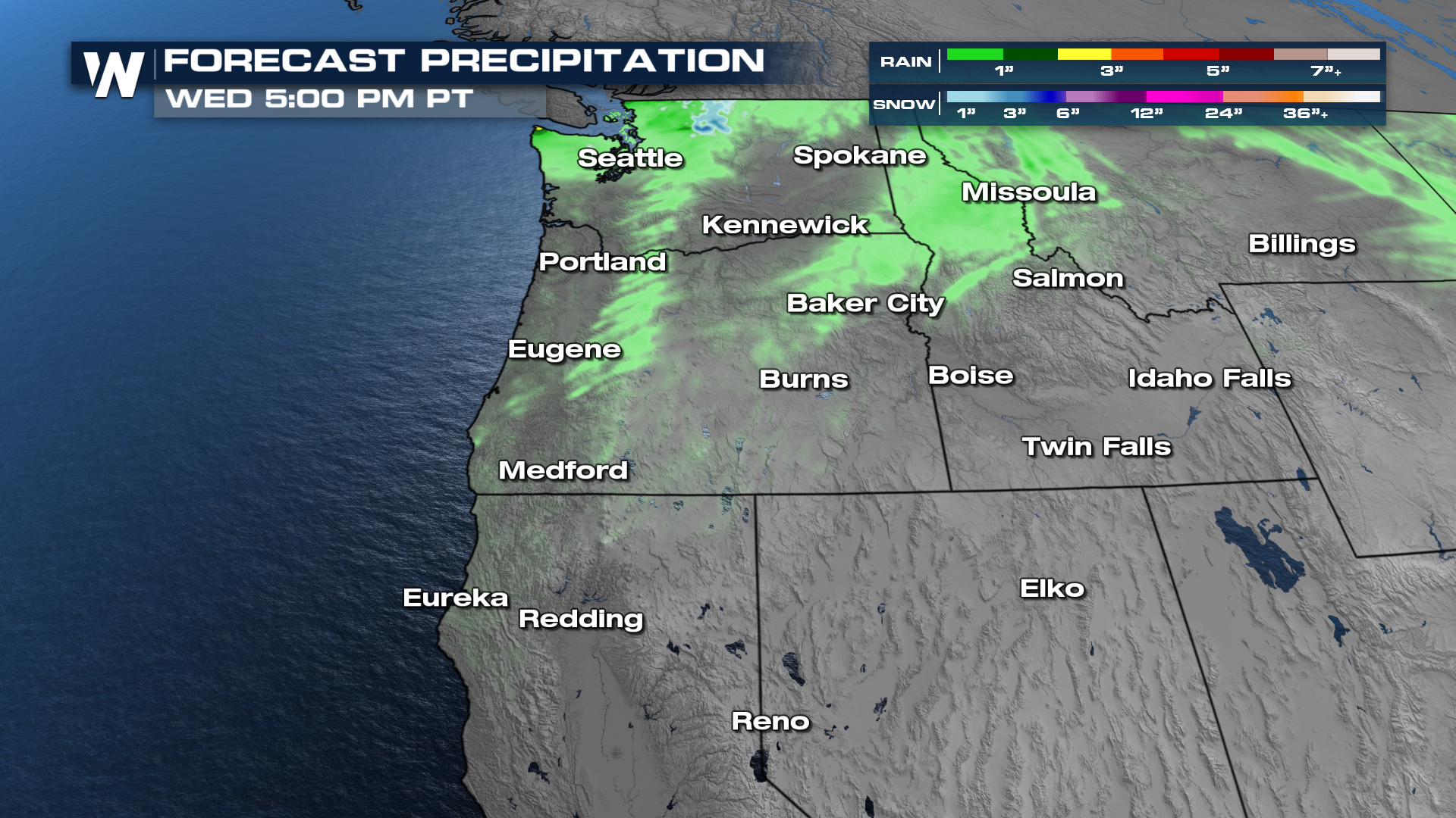
Activity has tapered off this morning, but a few showers will be around in NW Washington as well as lingering strong gusts. Some cooler air wraps in behind the front to support high mountain snow in the Cascades!
With this system on average, we will see up to 1" of rain, but localized heavier amounts along the coast can reach 2"-3". On the snow side, a couple of inches will be possible in the northern Cascades of Washington.
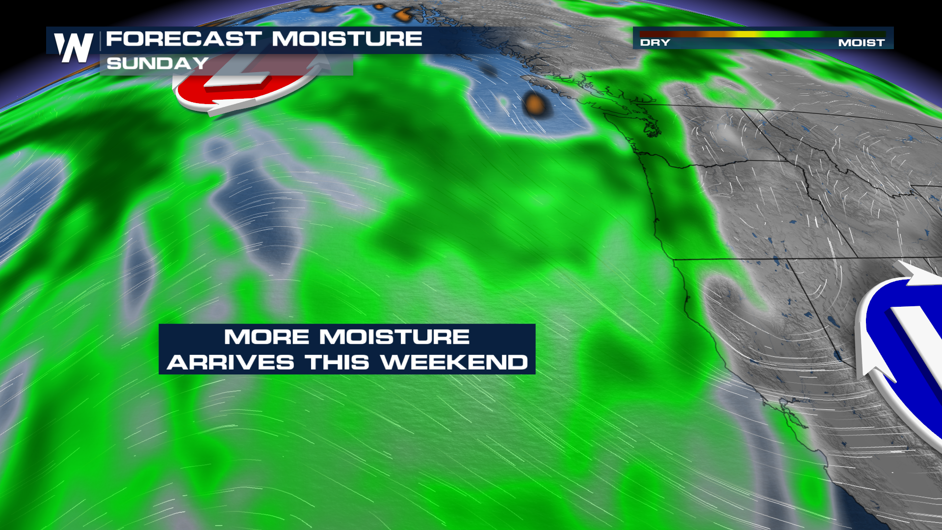
 The middle of the week looks quieter before more potential moisture arrives Friday through the weekend with yet another frontal boundary and low-pressure system moving in. Right now models don't look all that excited about meaningful rainfall, but we will keep our eye on the system as data is limited over the ocean with incoming systems, making forecasting tricky. For more info on this forecast tune in at :50 past the hour on WeatherNation.