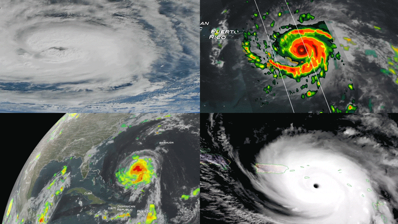
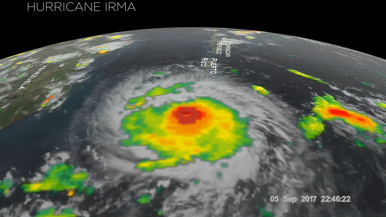
New Study Looks at Hurricanes that Undergo Rapid Intensification
Special Stories
29 Jan 2018 9:54 AM
From NOAA HRD
In 2017, we saw four Atlantic storms rapidly intensify with three of those storms - Hurricane Harvey, Irma and Maria - making landfall. When hurricanes intensify a large amount in a short period, scientists call this process rapid intensification. This is the hardest aspect of a storm to forecast and it can be most critical to people's lives. While any hurricane can threaten lives and cause damage with storm surges, floods, and extreme winds, a rapidly intensifying hurricane can greatly increase these risks while giving populations limited time to prepare and evacuate.
https://www.youtube.com/watch?v=xZ0Q-1u40lA
The main model that forecasters use to predict what a hurricane will do is the Hurricane Weather Research and Forecast (HWRF) model. Because we cannot measure what is currently happening in the hurricane exactly, we run the model many times at once with different measurements to get an idea of the different forecasts that are possible, and this set of runs is called an ensemble and the individual runs are called members. In this study, forecasts from an HWRF ensemble for Hurricane Edouard (2014) are studied to learn the differences between hurricane that intensify rapidly, what we call rapid intensification, and those that do not see the quick increase of intensity. A new paper published in the Journal of the American Meteorological Society looks at the ingredients and characteristics that were found in storms that underwent rapid intensification.
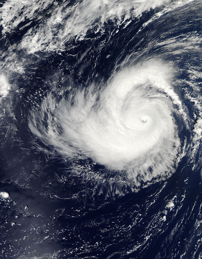 [Hurricane Edouard, September 16, 2014]
Important Conclusions:
[Hurricane Edouard, September 16, 2014]
Important Conclusions:
 You can read more details of the study from the American Meteorological Society.
For WeatherNation: Meteorologist Mace Michaels
You can read more details of the study from the American Meteorological Society.
For WeatherNation: Meteorologist Mace Michaels
[Hurricane Edouard, September 16, 2014]
Important Conclusions:
- Hurricanes are made up of thunderstorms, what we call convection. The strongest thunderstorms in the hurricane are called convective bursts. In hurricanes undergoing rapid intensification, convective bursts move around the hurricane center, but they stay in the same place for storms that do not see intensification.
- If the wind around the top but outside the hurricane moves the same way the hurricane wind moves (for example, counter-clockwise north of the Equator), this allows the convective bursts to move around the hurricane center and undergo rapid intensification. If that wind blows in the opposite direction, rapid intensification does not occur.
- The center of the hurricane is not in exactly the same place from the surface to the top, what we call tilt. Because of this tilt, strong wind in the middle and top of the hurricane can flow over the center at the surface. This wind can push strongly spinning wind over the surface center and increase the spinning wind and reduce the tilt in hurricanes undergoing rapid intensification. In contrast, in the non-intensification members, this does not happen. Therefore, this increase in the spinning wind is a key ingredient for rapid intensification.
- Shear is the difference in wind between low and high levels of the atmosphere around the tropical cyclone. The direction this shear points toward what we call the downshear part of the hurricane. The rapid intensification members have more moisture in the part of the storm to the right of the downshear location, so this is important for the formation of convective bursts in the rapid intensification members.
You can read more details of the study from the American Meteorological Society.
For WeatherNation: Meteorologist Mace MichaelsAll Weather News
More

More Storms for the East Through Monday
A low-pressure system that moved through the
3 Aug 2026 12:20 PM


After Reaching Category 5, Genevieve Weakens in the Pacific
PacificGenevieve formed last Friday south of
3 Aug 2026 12:30 AM

Flooding, Severe Storms Target the Midwest Again
After an active week of storms across the nor
1 Aug 2026 1:40 AM

Flooding Risk Increases as Heavy Rain Targets the Tri-State Area
Tuesday, heavy rainfall moved across the Nort
30 Jul 2026 12:25 AM