Active Pattern Sparks Mid-Atlantic Flood and Severe Threat

A Moderate Risk for excessive rain remains overnight for portions of West Virginia and Pennsylvania. This is a level 3 out of 4 flooding threat and indicates a significant potential for flash flooding, often associated with:
Widespread rainfall
Saturated soils
Urban areas with poor drainage
Terrain that enhances runoff
These areas were just hit hard this weekend, and it will only take a little rain to cause major new impacts. Wheeling & Fairmont WV, were impacted in a devastating way over the weekend.
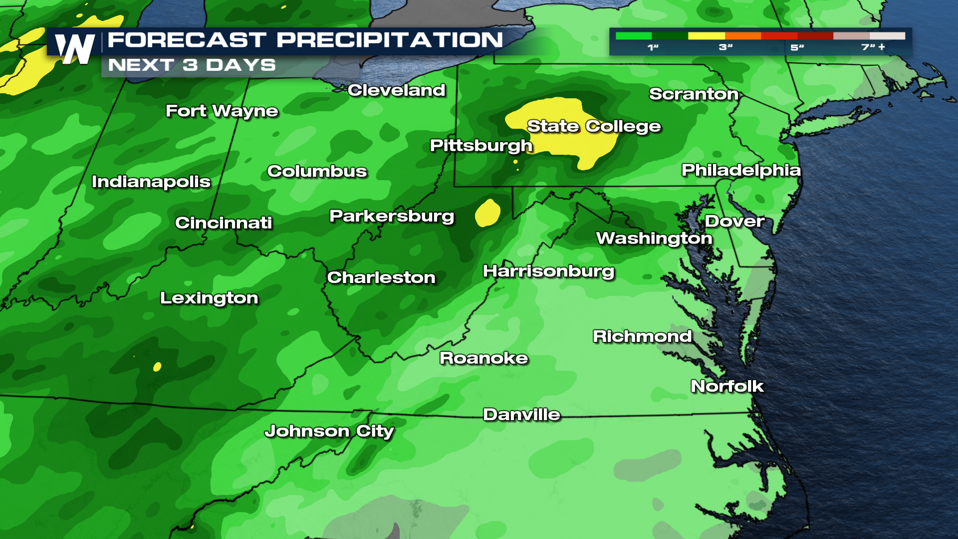
An active pattern is impacting the mid-Atlantic, so the flood threat continues this week. A combination of tropical moisture and an approaching cold front will continue to bring widespread showers, thunderstorms, and an elevated risk for severe and flash flooding.
Forecast Rainfall:
 Catch your East Regional Forecast at :10 after each hour on WeatherNationTV.


