Record Warmth in the Northwest
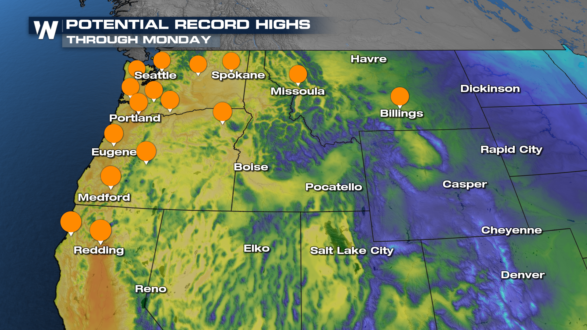
The Pacific Northwest is soaking up some early Spring-like warmth for the start of this week! Multiple records were broken yet again today (see above), and the warm temps stick around to start your week. A reason why we're seeing such warm temperatures is because of a strong ridge that hangs around the West Coast for the start of the week. This ridge of high pressure is locking in the warm air and keeping the weather quiet and spring-like in the Northwest.
The potential for record highs will continue through tomorrow! Some folks will see temperatures 20 + degrees above average, so get out and enjoy the weather!

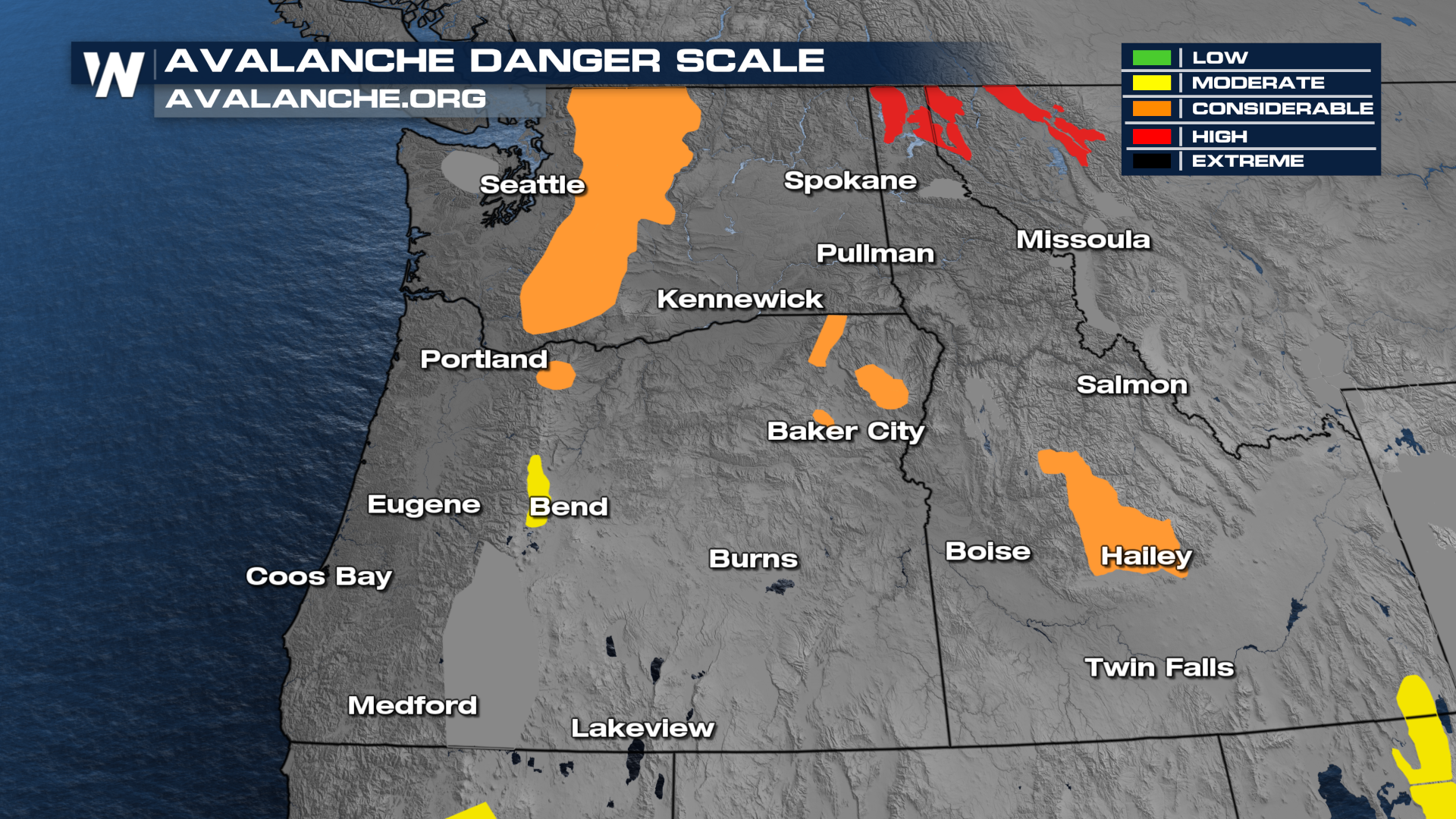
One negative aspect of this early Spring-like warmth is the likelihood of seeing elevated avalanche danger since there is melting in the mountains. We are seeing moderate, considerate, and high avalanche danger in portions of the Northwest. If you're looking to do any skiing or snowboarding in the Cascades or Northern Rockies today, please avoid hitting any of the slopes in the backcountry. Be sure to follow signs and abide by any warnings posted.
