Severe Chances Return for the Midwest

The upcoming stretch of hot temperatures will be a talker across parts of the Plains and Midwest. As the upper high builds northward, we will keep an eye on a couple of cold fronts and jet stream energy riding the blocking high resulting in severe chances Friday-Monday. Let's talk about Friday first.
Friday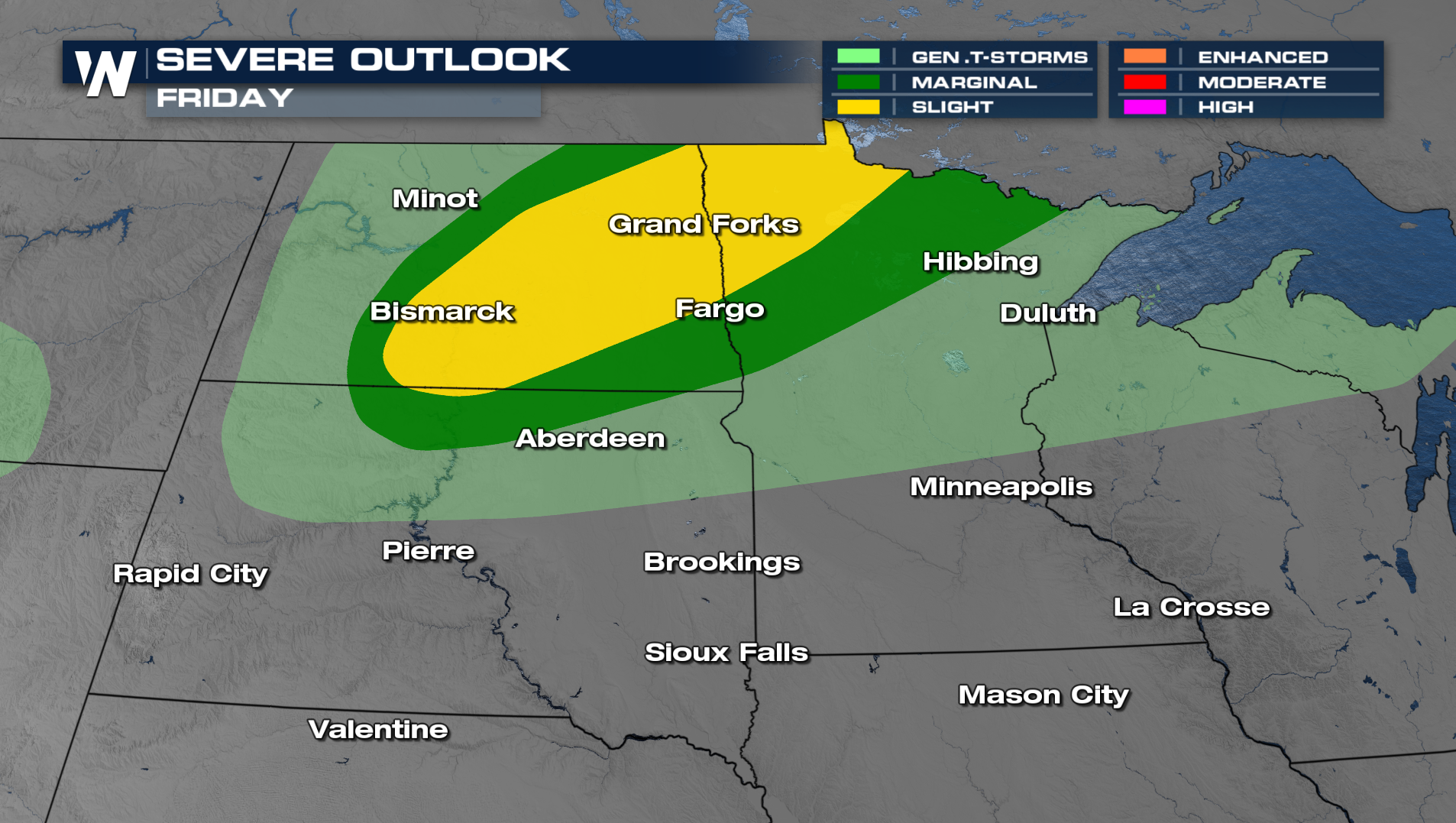 The Storm Prediction Center has highlighted a Slight risk for severe storms on Friday across North Dakota and Northern Minnesota. The primary threats will be damaging winds and an isolated tornado or two. Storms will get going during the afternoon heating and continue past sunset.
Sunday-Monday
The storm fuel on Sunday and Monday looks a lot better for the next round of severe storms. With temperatures in the 90s and 100s ahead of the next front, severe weather is looking likely.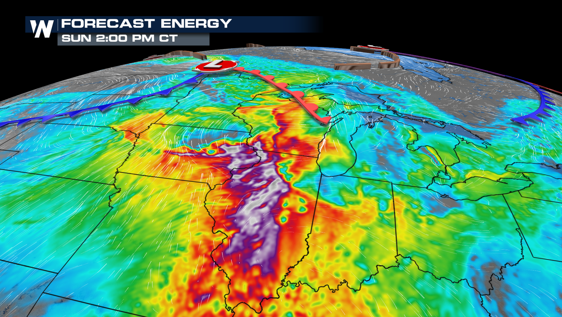
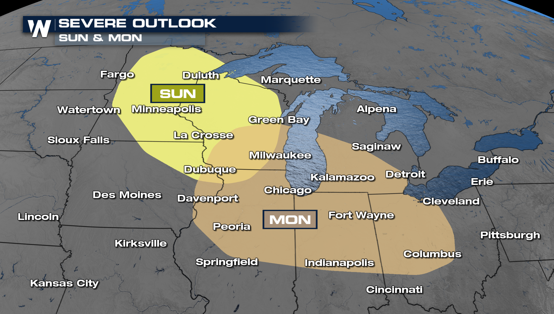
The current thinking of the forecast shows a couple of rounds of strong to severe thunderstorms. The thunderstorm threat will be highest in the afternoon and evening hours, however, storms could still be strong after the sun sets. The biggest threat will likely be damaging winds and heavy rain but we will keep an eye out on the tornado threat too.


