Midwest Severe Risk Through Tonight

The northern extent of an area of low pressure will keep storms around for the Great Lakes region through tonight after an active past few days. With that in mind, we also will see a big cool-down as the system & associated fronts finally swing through by the end of the week. The Storm Prediction Center continues to highlight a risk overnight from Indiana through Michigan, indicating the potential for damaging winds and large hail. Hail 1.00" in diameter or larger with winds 58 mph or stronger will be possible.
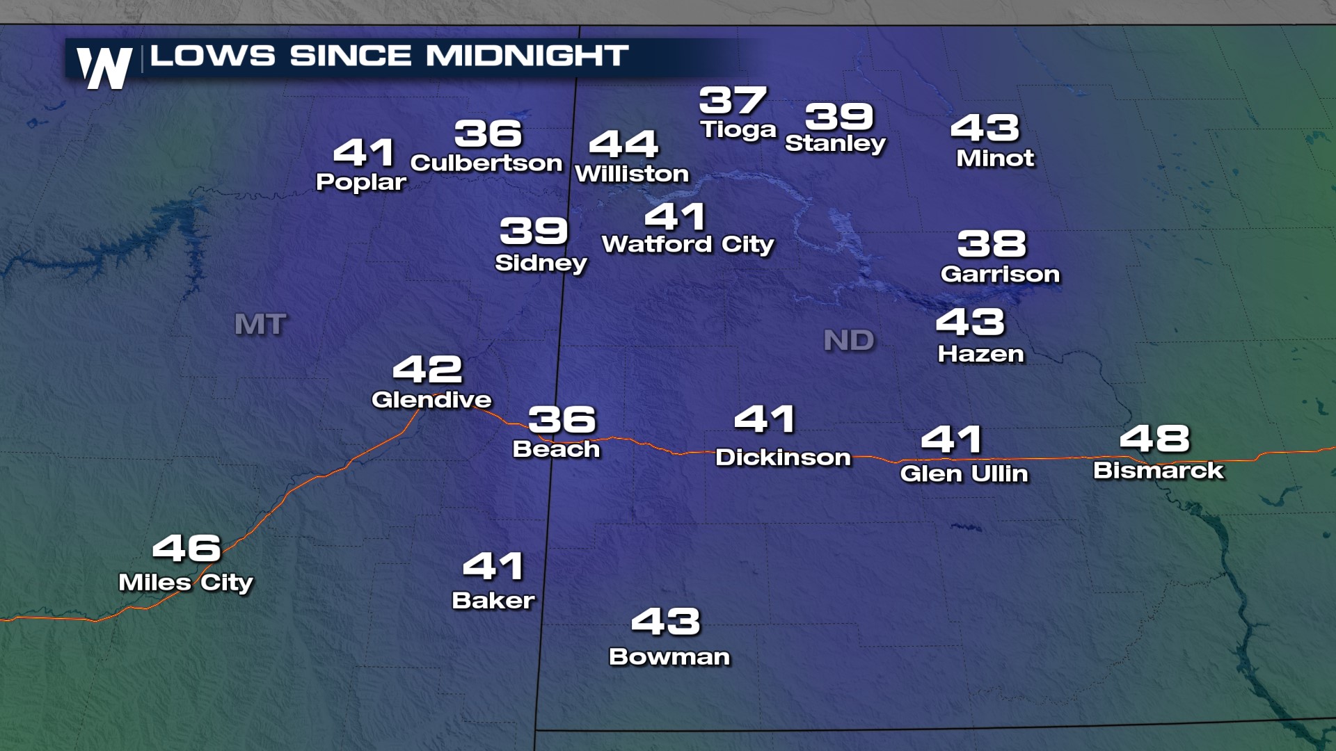
The frontal boundary responsible for the severe weather is also bringing a cool down to the northern Plains. Take a look at some of the overnight lows across western North Dakota Wednesday morning!
Daytime highs in Chicago will be running 10-degrees below average as we head into the weekend.
 For more on the High Plains forecast, join WeatherNation for the Central Regional Forecast at :30 past the hour.


