Severe Weather Threat for the South Today
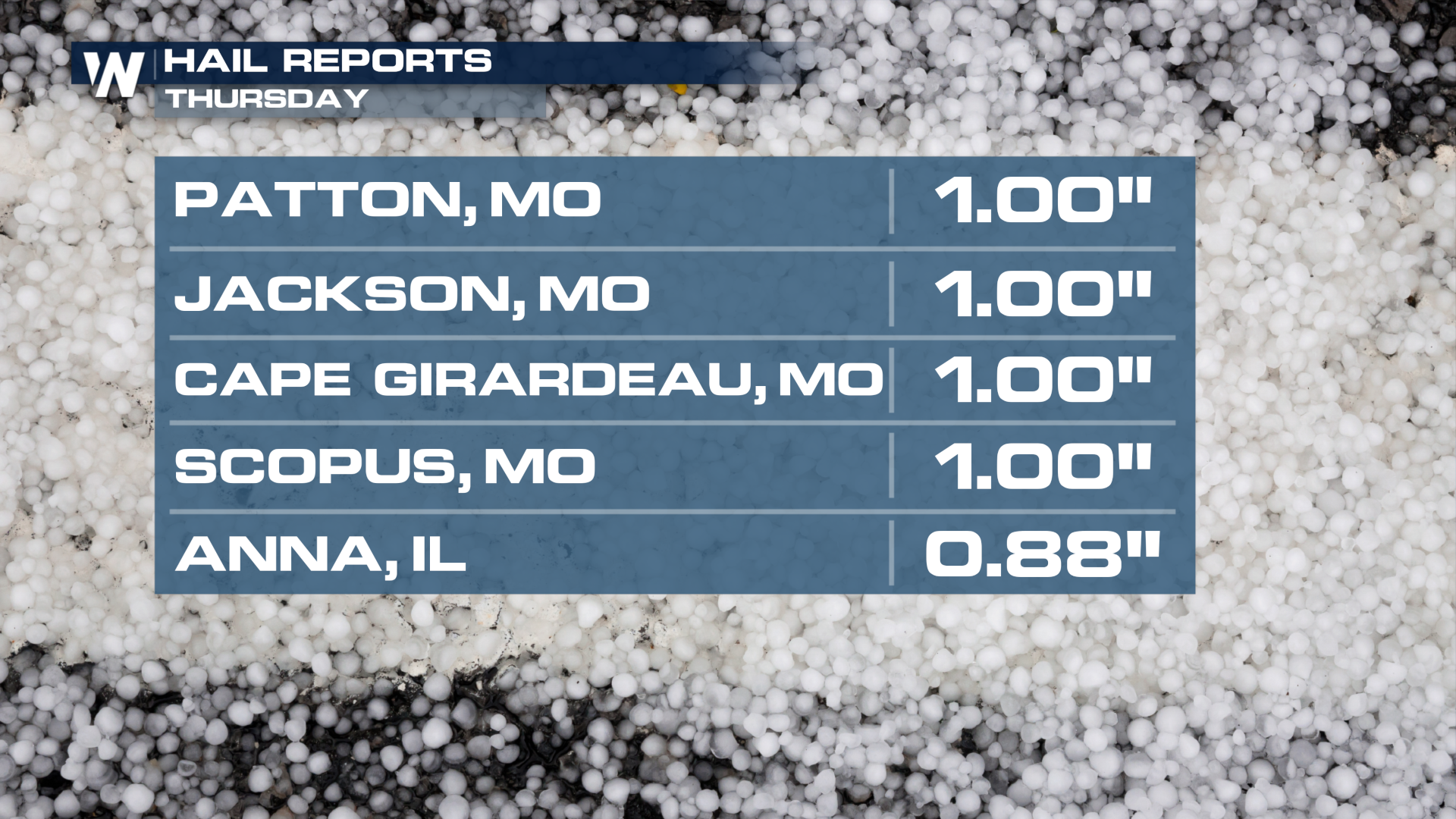
A cold front that brought reports of hail and gusty winds to the South Central and Ohio Valley continues to move to the east. Hail was reported from West Virginia (pea size), to Illinois, Missouri and Arkansas with hail getting up to a quarter and half dollar size on Thursday afternoon in Missouri and Arkansas.
 The threat of hail and damaging winds now shifts to the Carolinas today. Isolated Strong storms will be possible in the afternoon but showers and storms will be prevalent throughout the day along the cold front across the Southeast.
NOAA's Storm Prediction Center (SPC) issued a marginal outlook (level 1 out of 5) Friday for isolated severe storms in the Midlands and Lowcountry of South Carolina. Similar to Thursday, the primary storm threats are gusty winds and 1" hail. These are swift-moving storms, and luckily there is no flood threat. There will be a chance to see an isolated 2" of rainfall possible in North Carolina. Most areas in this region stay less than 1".
 The rain will quickly move offshore in the evening hours. A reinforcing front will bring a slight chance of rain and cooler temperatures. For live tracking of this front, make sure to tune into Weather Nation or download the Weather Nation App today.