Severe Weather Possible for the Carolinas
Special Stories
26 Sep 2018 10:11 AM
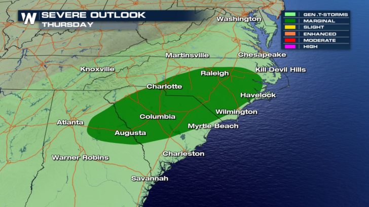 North Carolina, South Carolina, and Georgia are under a marginal risk of severe weather for Thursday. This means isolated severe thunderstorms will be possible during the day.
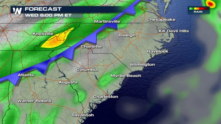
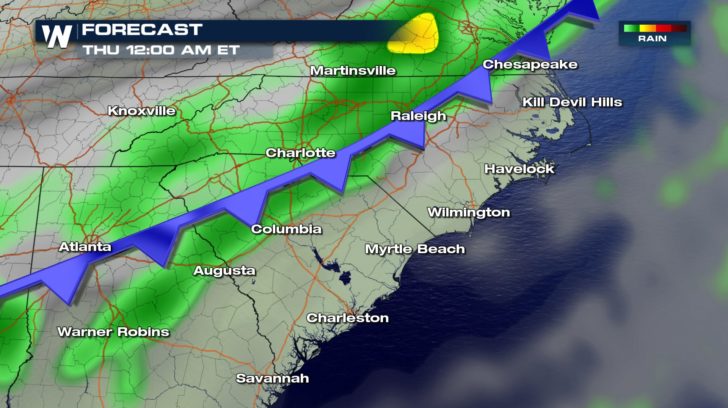
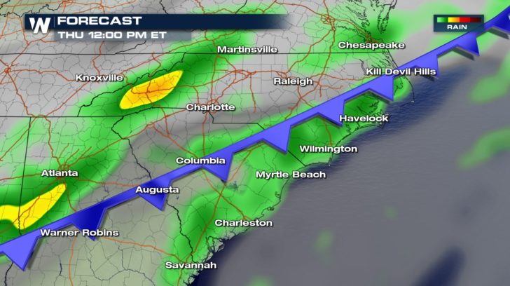 The reason for the possible severe weather is a cold front moving in from the west. This system could bring in heavy rain, as well. Rain will start up today and continue for the next several days.
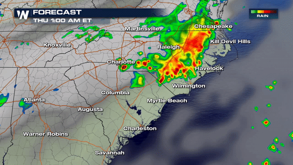
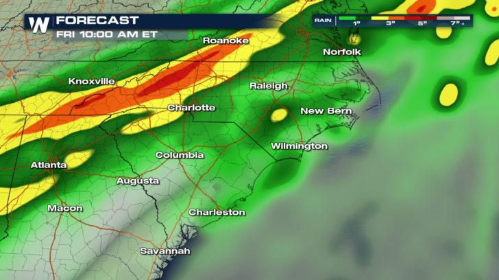 Over the next few days, this cold front could bring several inches of rain to the southeast. Stay weather aware, everyone! Ponding or flooding on roads could be possible.
All Weather News
More
More Storms for the East Through Monday
A low-pressure system that moved through the
2 Aug 2026 10:40 PM

Wildfire Outbreak in the Pacific Northwest
SPOKANE, WA - On Saturday, August 1st, the Ol
2 Aug 2026 10:35 PM


After Reaching Category 5, Genevieve Weakens in the Pacific
PacificGenevieve formed on last Friday south
2 Aug 2026 6:25 PM

Flooding, Severe Storms Target the Midwest Again
After an active week of storms across the nor
1 Aug 2026 1:40 AM

Flooding Risk Increases as Heavy Rain Targets the Tri-State Area
Tuesday, heavy rainfall moved across the Nort
30 Jul 2026 12:25 AM

Severe Weather: Energy From the Midwest Now in the Southeast
UPPER MIDWEST - Through Monday, dangerous tor
29 Jul 2026 10:30 PM