Flash Flooding and Storm Chances Continue Across New Mexico

Roswell picked up over 5 inches of rain in a single afternoon, the most rain they have ever seen in a 24-hour period (above). Ever. That lead to horrible flash flooding prompting a Flash Flood Emergency in Roswell Saturday night.
New Mexico and far West Texas could be in store for another day of severe weather and flash flooding. An upper-level low and a surface front are expected to bring a mix of snow, heavy rainfall, and the heightened possibility of tornadoes. Saturday night, a Flash Flood Emergency was issued for Roswell, NM with the nearly 6 inches of rain that fell over the city.
On the severe side, all modes of severe weather will be in play into Monday morning, including isolated tornadoes. The Storm Prediction Center issued a slight risk (level 2 out of 5) for the possibility of strong storms.
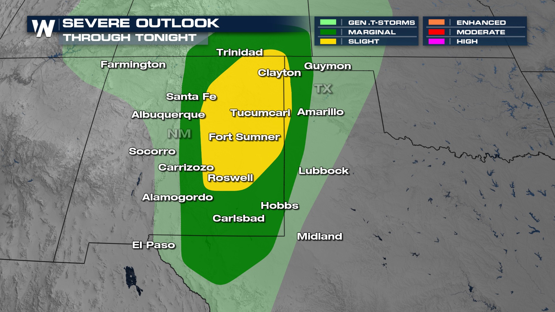 For the rest of the night, we will still be looking at an ongoing flash flooding threat and severe threat across the eastern sections of New Mexico! Thunderstorms should begin to fizzle after midnight.
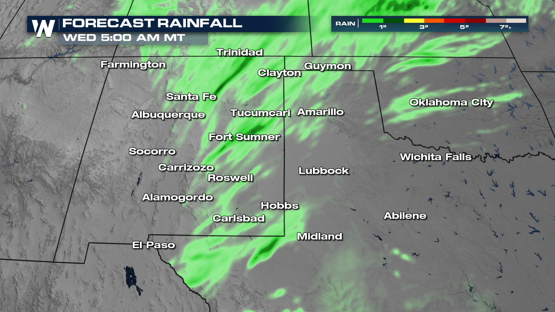
Any additional rainfall could lead to further flooding in New Mexico. Thankfully, the amounts should be much lighter than Saturday night's round.
Tune in for real-time updates as this system unfolds on WeatherNation.


