Clippers Keep the Great Lakes and Northeast Gusty, Cooler

It wouldn't be March without a good ol' fashioned blizzard. The Upper-Midwest experienced intense blizzard conditions last weekend, and while the blizzard has cleared, additional rain and snow makers are on the way. While additional snow, ice, and storms are in the forecast, these systems are not expected to be as impactful.
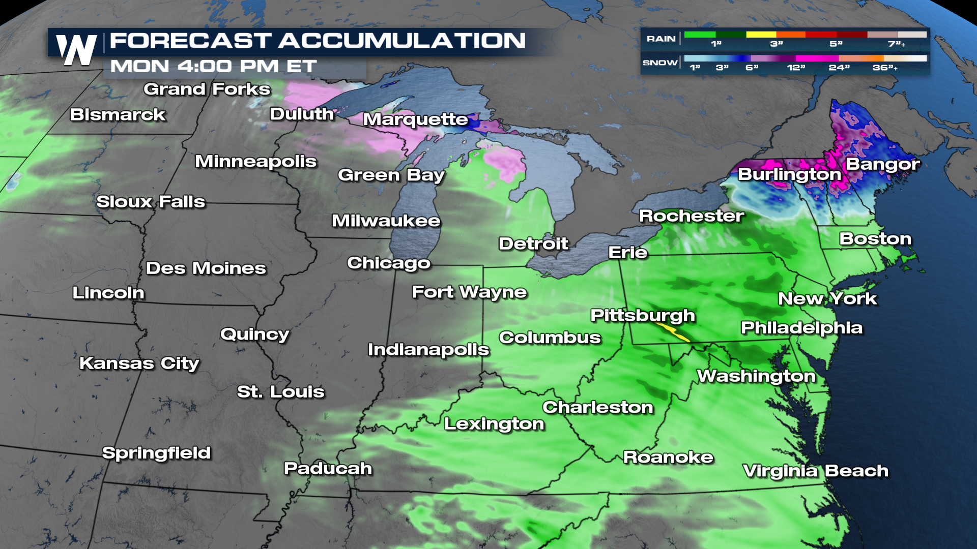
Timing
Clipper systems with limited precipitation and impacts are expected to phase through the Great Lakes and Northeast through Friday. Stronger systems begin taking shape this weekend, with heavier precipitation and gusty winds. Friday into Saturday can expect heavier rain and snow in New York and New England, while the Upper-Midwest gets a new round of moderate snowfall from the trailing system. By Sunday, that next system is expected to move from the Great Lakes into the Northeast, bringing ice, snow, rain, and wind!
Rain and Snow Totals
I-95 and the Central Appalachians are likely to stay on the rainy side of these systems, but higher elevations in the Northeast, along with areas that see lake-enhanced precipitation, will see some snowfall. Mountain areas could see some 6"+ totals.
Make sure to check in with us here on WeatherNation! We'll be covering these clipper systems all week, so follow along to stay updated on the latest!


