Storms Continue to Pummel the Rockies

Top Stories
21 Sep 2026 1:25 AM
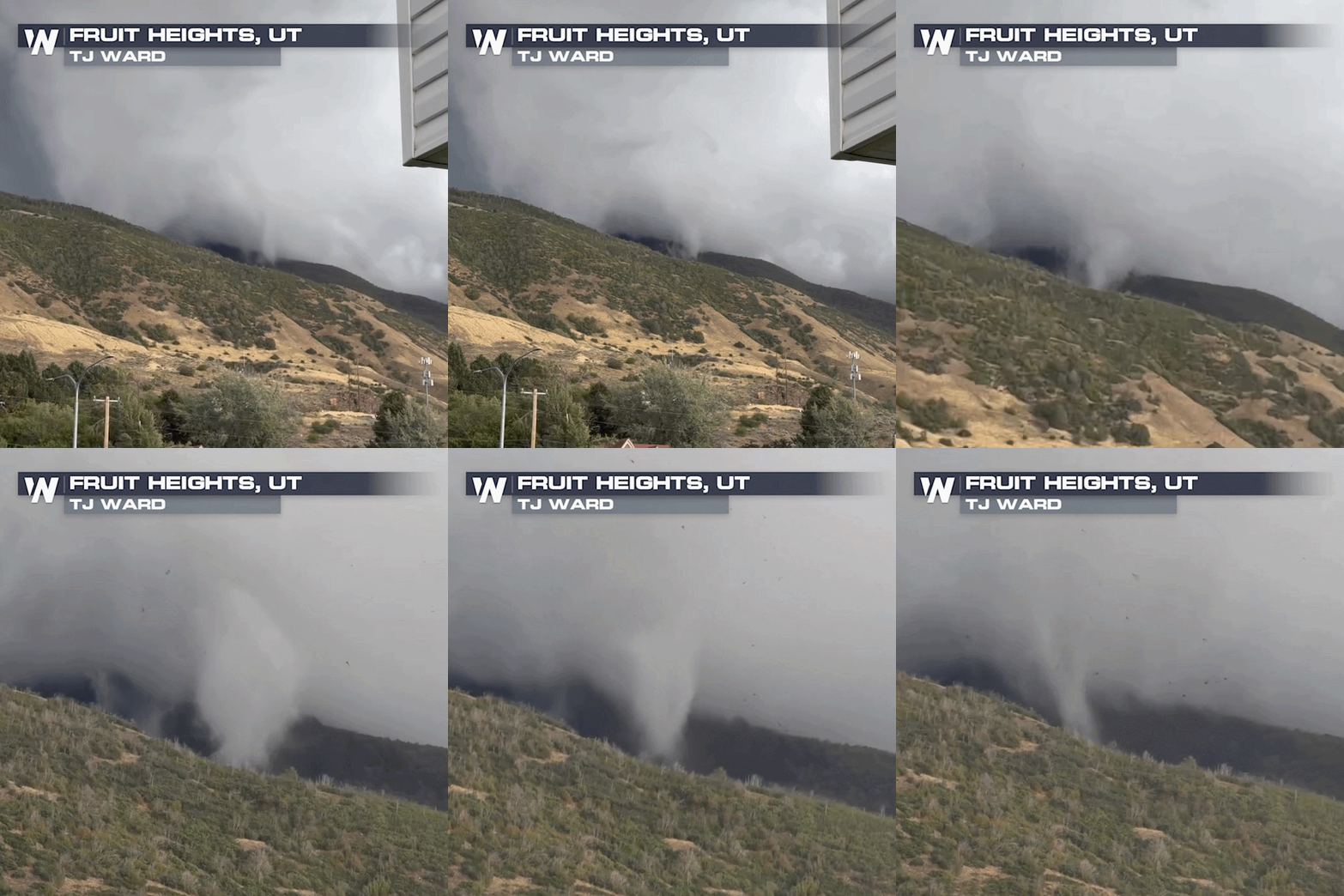
Severe storms and heavy rain have been targeting the Rockies since Thursday, when large hail began battering portions of Utah and Idaho. Two tornadoes were even captured on video in Utah on Friday, including the mountainside twister you see below!
Severe Storms & Timing
Overnight, we have a severe threat in place for portions of CO, KS and OK. Storms fired up today, bringing damaging winds and hail. Any storms that stick around into the overnight hours can see damaging winds, large hail, and an isolated tornado or two will be possible.
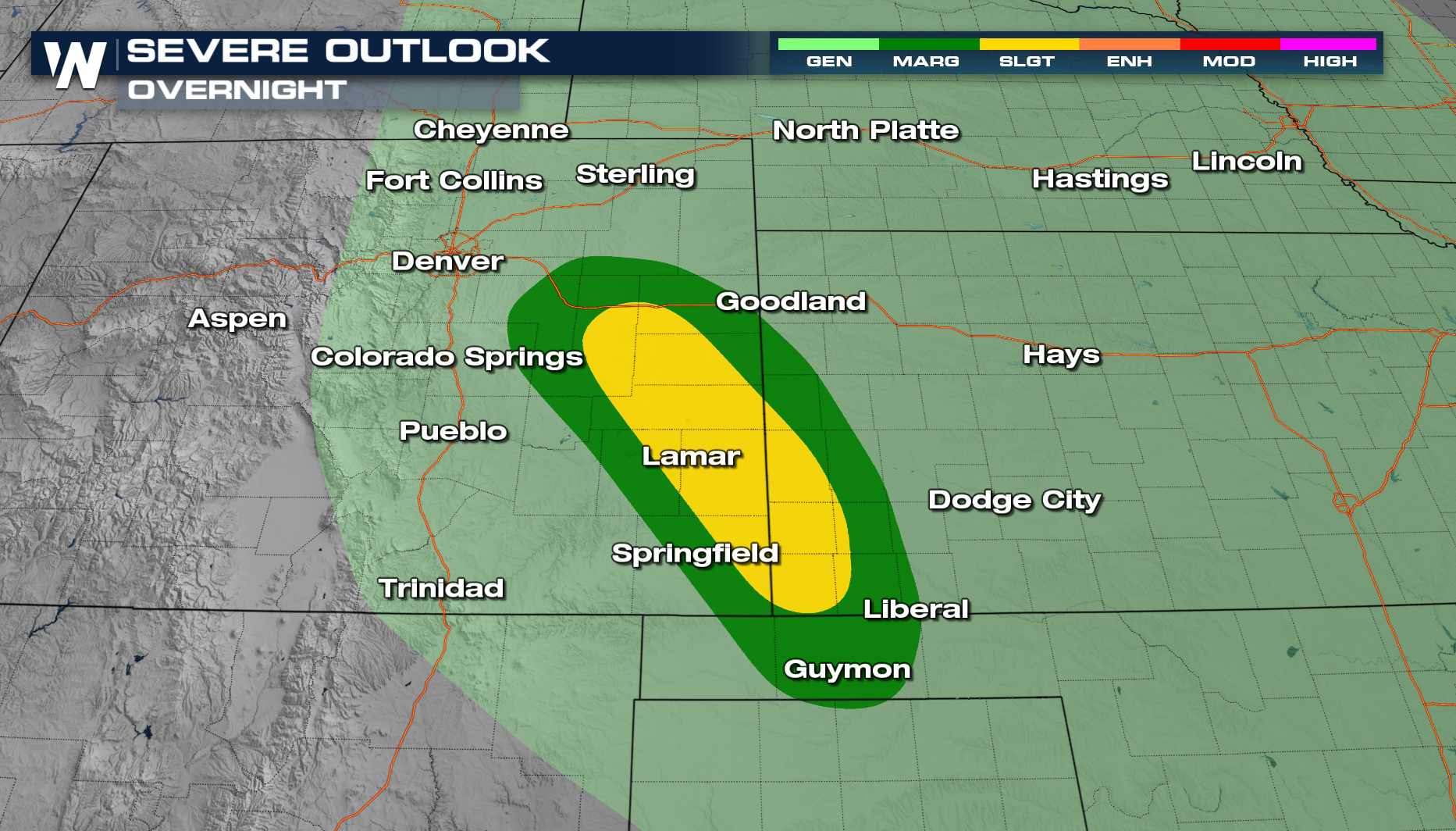
A few storms will linger in the overnight hours, with some heavy rain possible embedded in the storms.
All Weather News
More

California In The Cone, Rachel Heads Toward the Southwest
Heavy rain and gusty winds are likely for the
9 Oct 2026 11:10 AM

Tropics: Rachel Heads Towards California, Simon Expected to Strengthen
Pacific BasinThe Pacific Ocean has been incre
9 Oct 2026 9:00 AM

Flooding, Tornadoes Target Central Florida Thursday
Deep tropical moisture streaming north from t
8 Oct 2026 1:00 PM

Fall Chill Grips the East While Record Heat Bakes the West
A major temperature divide is unfolding acros
7 Oct 2026 10:00 AM


Plains & Midwest: Slow Moving Storms Increase Flood Threat
WHAT TO EXPECTTropical moisture from the remn
2 Oct 2026 1:25 AM