Windy and Stormy Weather For The Northeast

NORTHEAST - The Storm Prediction Center has maintained an overnight MARGINAL (level 1 out of 5) risk for severe weather overnight across portions of the northeastern U.S. for a few gusty storms that could reach severe limits as our cold front exits.

Wind + Fire Danger
Widespread wind alerts remain in place through Thursday. Some airports have been experiencing delays because of the strong winds. If you have any travel plans, be sure to check for updates and delays.
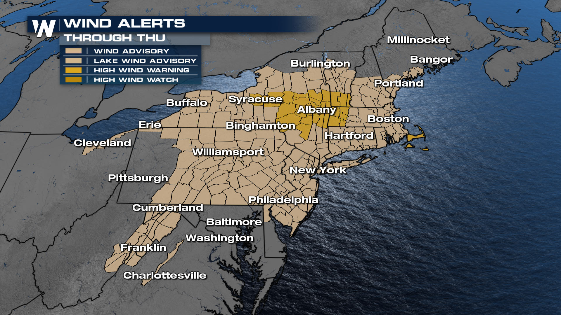
Due to some drier conditions further south and the potential for gusty winds, several red flag warnings have been issued. This will come with an elevated risk for wildfires in the highlighted area.

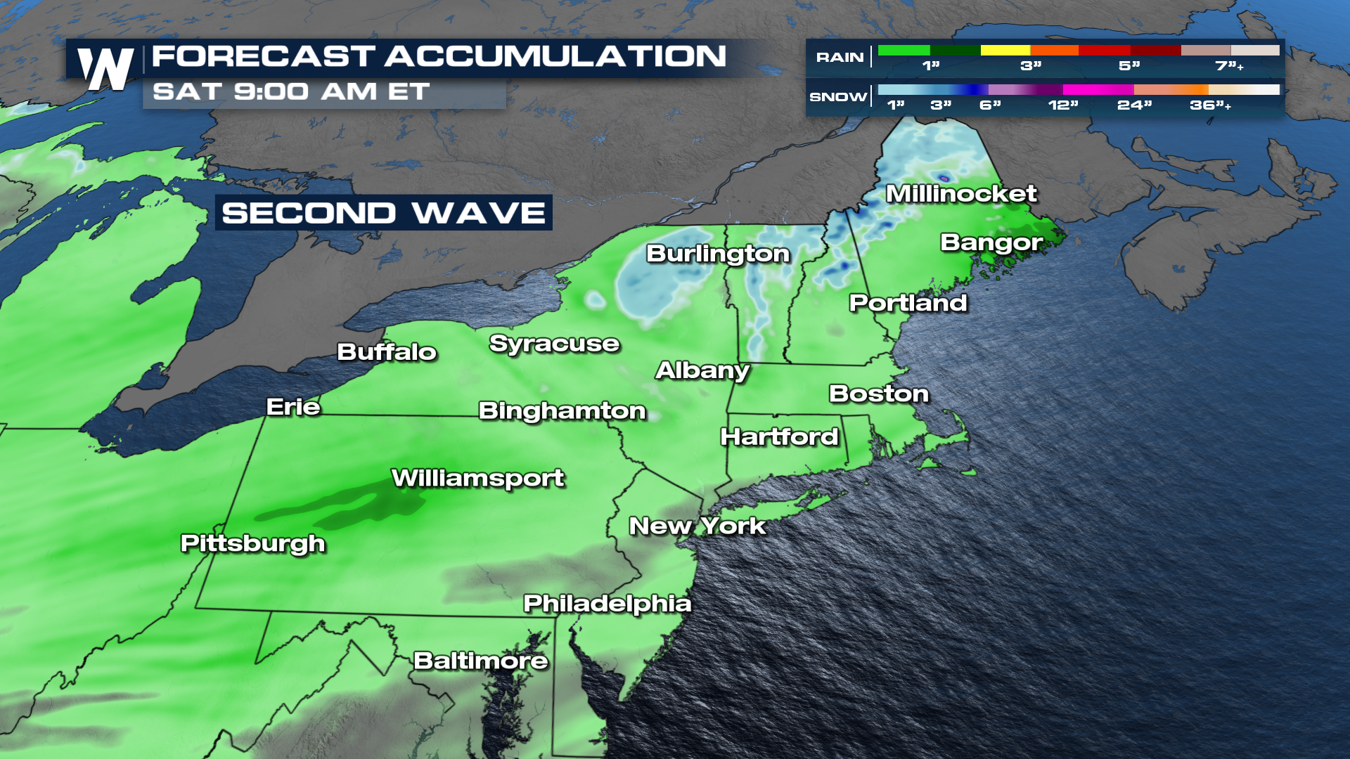
Round 2 - Friday
Our next frontal system is expected to move into the northeast as we head into the end of the week. The timing looks to favor Friday for the rain and some snowfall.
Since this system is fairly fast, the risk for flooding or heavy snow is quite low, with only minor totals showing up in our forecast accumulation.
Make sure to stay tuned to WeatherNation throughout the next few days for all the current updates on your rain on the way!


